Address Fabric™
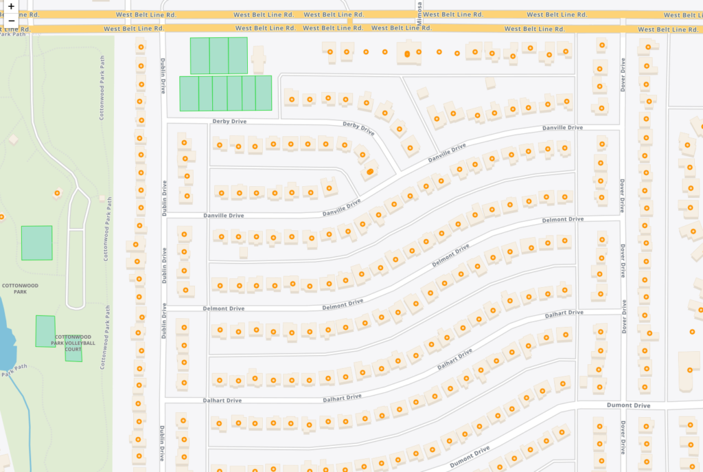
The Address Fabric™ data set is a current and comprehensive list of all known addresses in the United States, Canada, the United Kingdom, Australia, New Zealand and France. Each record is pre-geocoded with precise latitude and longitude, including non-deliverable physical locations, and is delivered in an easy-to-use flat file format for database and analytics integration. Records include street address, coordinate location, census information, property details, and parent/child relationships for primary and secondary addresses. Each record is assigned a unique PreciselyID for data management and enrichment with additional contextual information.
Market Link – Premium Locality Names and Postcodes
Market Link – Premium Locality Names and Postcodes is an enrichment and relationship file that enhances address and place data with comprehensive locality names and detailed attributes, relating postcodes to administrative boundaries and providing more complete postal rosters for better handling of non-geographic postcodes.
FSA and 6-Digit Postal Codes
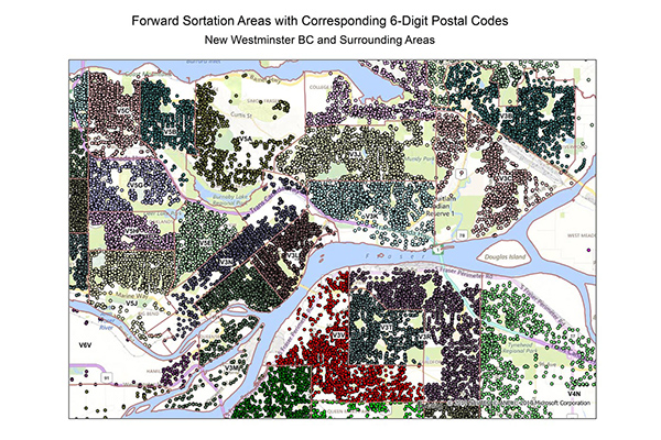
FSA and 6-Digit Postal Codes are available separately or in a bundle. The FSA file contains polygon boundary files and centroids for Canada’s Forward Sortation Areas (FSAs). The 6-Digit Postal Codes file contains over 800,000 postal records and over 4,000 new postal codes, including latitude and longitude coordinates and a single “most representative point” for each postal code in Canada.
Designated Market Areas (DMA®)
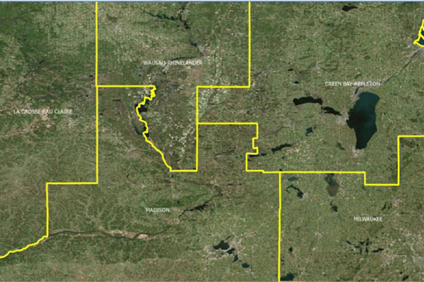
Designated Market Area (DMA®) definitions are licensed from Nielsen and delineate the geographic boundaries of over 200 distinctive regions to assess TV penetration of audience counts within the U.S. for a viewership year. DMA® is a registered service mark of the Nielsen company. Used under License. The DMA® code is created using Nielsen’s assignment of a 3-digit number for identification and processing purposes.
Congressional Districts
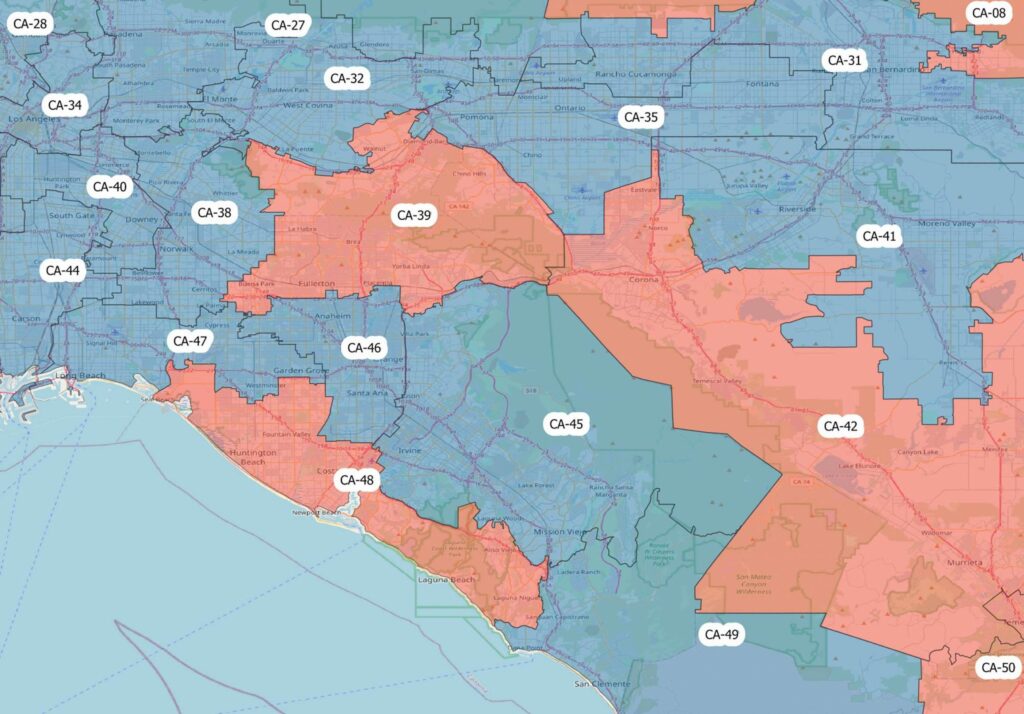
Congressional Districts depicts the physical extent and demographic profile of each district of the U.S. Congress. The dataset includes population estimates, contact information, and party affiliation for each current congressional representative at the time, along with previous congressional districts for historical comparison.
Code-Point with Polygons
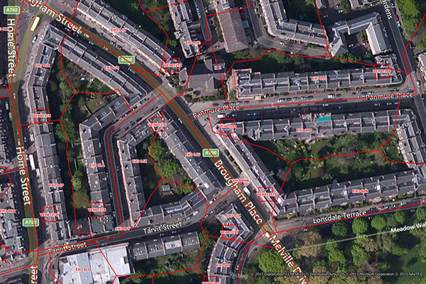
Code-Point with Polygons is a vector dataset providing detailed local addressing coverage in Great Britain, including the extent of each postcode unit.
GeoVision
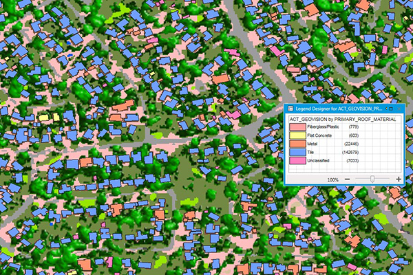
GeoVision provides a nationwide representation of the built environment in Australia. It offers detailed building information including building height, roofing information, overhanging trees, solar panels, and swimming pools, with accuracy and detail for urban, regional, rural, and remote areas.
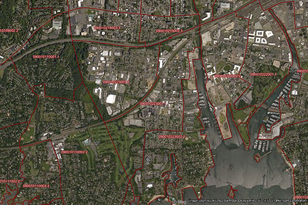
ZIP Codes and Carrier Routes
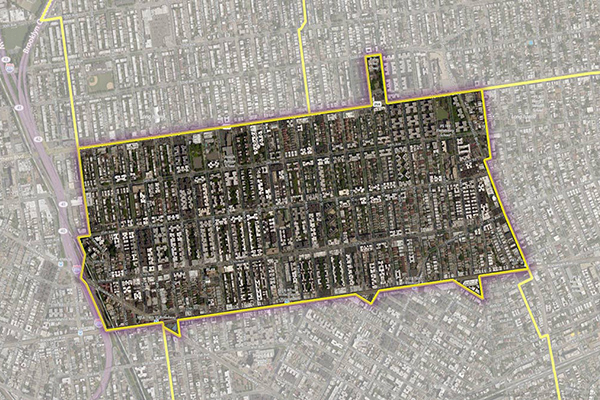
The content describes multiple datasets related to USPS ZIP Codes, including Carrier Routes, ZIP Plus 4s, and ZIP Code Boundaries and Centroids. ZIP Plus 4s identify over 60 million deliverable USPS ZIP Plus 4s and correlate with U.S. census block data. ZIP Code Boundaries provide spatial demarcations and include centroids, while Carrier Routes represent areas served by USPS mail carriers, following roads for accuracy.
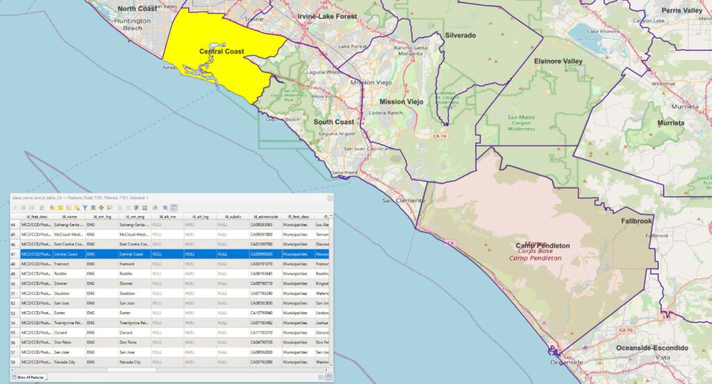
US Municipal Boundaries
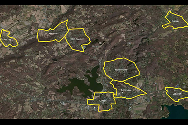
US Municipal Boundaries contains up-to-date information on the boundaries of incorporated municipalities, updated quarterly to include new incorporations, annexations, de-annexations, mergers, consolidations, dis-incorporations, and/or dissolution of local governmental entities.
Census Boundary Bundle – US
Census Boundary Bundle – US provides a visual backdrop for demographic and other business analysis in the United States. It can be purchased as a complete bundle that includes all seven layers, or as individual layer datasets.
World Time Zone Boundaries
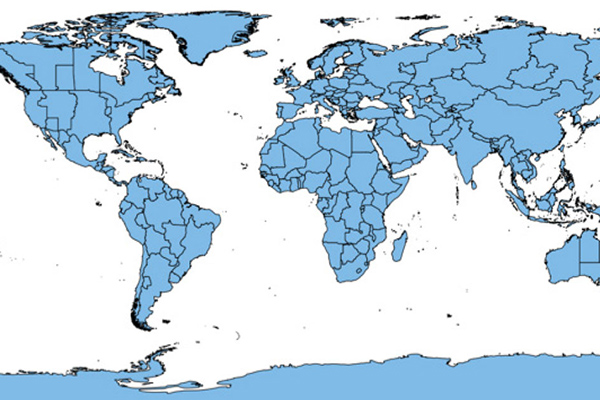
World Time Zone Boundaries provides spatial representation of the world’s lands and waters by time zone, showing each time zone’s deviation in hours from Coordinated Universal Time (UTC) and Daylight Saving Time (DST). Each time zone is divided by country (or parts of countries) and associated with the start and end dates/times of daylight saving time.
Suburbs and Localities Australia
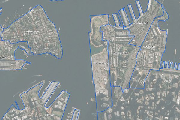
Suburbs and Localities Australia provides authoritative geographic demarcations of gazetted suburb boundaries and non-gazetted locality boundaries in a single table format, with over 15,000 suburb and locality boundaries, key for mapping and linking business data for geographic analysis.