
ZIP Codes and Carrier Routes
- The content describes multiple datasets related to USPS ZIP Codes, including Carrier Routes, ZIP Plus 4s, and ZIP Code Boundaries and Centroids. ZIP Plus 4s identify over 60 million deliverable USPS ZIP Plus 4s and correlate with U.S. census block data. ZIP Code Boundaries provide spatial demarcations and include centroids, while Carrier Routes represent areas served by USPS mail carriers, following roads for accuracy.
Coverage
- United States
Product Family
- Boundaries
Usage
- Create dot density maps illustrating market locations (ZIP Plus 4s)
- Overlay maps from other databases (ZIP Plus 4s)
- Analyze spatial relationships between business locations, customers, and competitors (ZIP Plus 4s). Define territories (ZIP Plus 4s)
- Deploy targeted direct mail campaigns (ZIP Plus 4s, Carrier Routes)
- Provide quick views of ZIP Code changes (ZIP Code Boundaries and Centroids). Enhance geocoding accuracy and hit rates (ZIP Code Boundaries and Centroids)
Details
ZIP Plus 4s:
- The ZIP Plus 4s dataset identifies more than 60 million deliverable USPS ZIP Plus 4s and correlates this information to U.S. census block data.
ZIP Code Boundaries and Centroids:
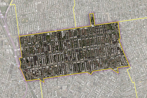
- ZIP Code Boundaries provide spatial demarcations of U.S. ZIP Codes. This dataset also includes the latitude/longitude coordinate of each ZIP Code’s centroid.
- Provides a quick view of specific ZIP Code changes in a given release
- Includes a complete ZIP Code table for more accurate geocoding
- Provides all names associated with a particular ZIP Code in a separate table for faster geocoding and better hit rates in the main ZIP Code boundary file
Carrier Routes:
- Carrier Routes represent the area served by a particular USPS mail carrier. Boundaries follow roads for accuracy and visual appeal. A proprietary process captures residential and business routes, creating a great resource for direct marketers.
Specifications
- Update Frequency
- Quarterly
- Coverage
- United States
- Unit of Sale
- Country