
Suburbs and Localities Australia
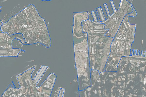
Suburbs and Localities Australia provides authoritative geographic demarcations of gazetted suburb boundaries and non-gazetted locality boundaries in a single table format. With over 15,000 suburb and locality boundaries, this data offering is a key element for mapping and linking business data for geographic analysis.
Details
Dataset includes:
- Suburbs/localities table
- Incremental file includes the areas that have changed between biannual releases
- Change log
- Suburb aliases
Features
- Offers complete national coverage including rural and remote areas
- Provides non-gazetted boundaries for localities not formally defined by a jurisdiction
- Delivers the most accurate and up-to-date suburb boundary definitions available for Australia
- Makes it easy to link and thematically map internal business data, and visualize settlement density
ooioioiiiooioioiioiiooioiiiooiooiiioioioiiiooioioii
Specifications
Coverage
Australia, New Zealand
Release schedule
Bi-annually
Unit of sale
Country, State