Precisely Advances Agentic-Ready Data with a New AI Agent, Data Product Marketplace, and MCP-Enabled APIs Read press release
Build solutions faster with Precisely APIs, pre-linked data, and MCPStart free trial
Privacy Notice Updates: We’ve updated our Privacy Notices to reflect changes to our services, new legal requirements, and the types of personal data we collect. Learn more
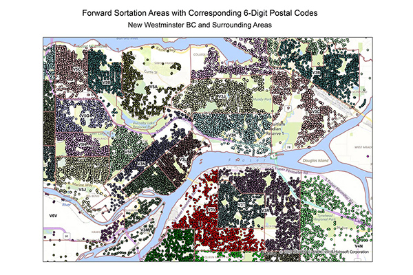
FSA and 6-Digit Postal Codes are available separately or in a bundle. The FSA file contains polygon boundary files and centroids for Canada’s Forward Sortation Areas (FSAs). The 6-Digit Postal Codes file contains over 800,000 postal records and over 4,000 new postal codes, including latitude and longitude coordinates and a single “most representative point” for each postal code in Canada.
Coverage
Canada
Product Family
Boundaries
Usage
Use FSA and 6-Digit Postal Codes to:
Simplify mapping and demographic analysis of customer records
Link postal geography with Dissemination Area (DA) boundaries
Assign DAs to the most appropriate FSA
Create boundary files by snapping FSA boundaries to DAs where no alternative descriptions are available
Limit overlapping boundaries by determining which direction a postal code and/or street segment split should take across DAs