PostPoint Professional
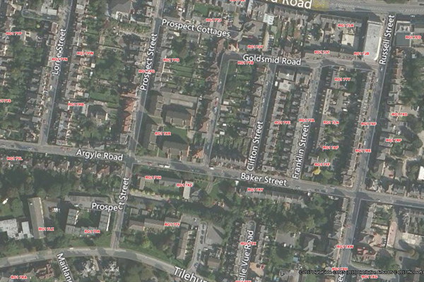
PostPoint Professional provides full postcode coverage and British National Grid references for the United Kingdom, with accuracy to within one meter of a property near the centre of the postcode, including an indicator of each point’s precision.
Postcode Boundaries Australia

Postcode Boundaries Australia provides a geographic representation of postcode boundaries for the entire country, built in a nationwide parent-child hierarchy from suburb and locality boundaries, with no gaps or overlaps.
World Postcode and Administrative Boundaries
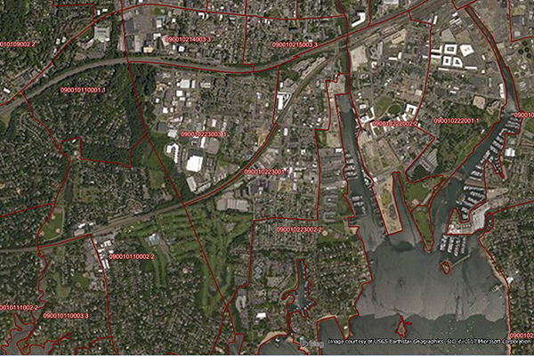
World Postcode and Administrative Boundaries provides comprehensive coverage of global administrative and postcode boundaries, offering six administrative levels for analysis specific to each country, such as township or city boundaries. It includes administrative hierarchy and alternate postal names for the U.S. and Australia, aggregating worldwide postal and administrative boundaries into a single product with a consistent, single table structure format for ease of use.
Census Boundary Bundle – Canada
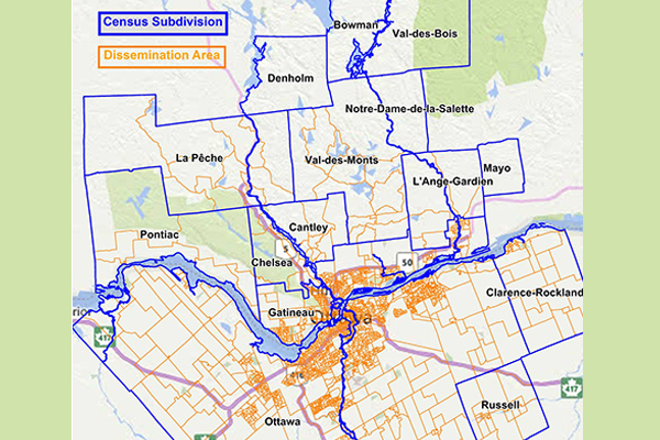
Census Boundary Bundle – Canada represents complete hierarchies of political and census boundaries for Canada. The standard version is updated every 5 years following the new Canada census, while the enhanced version is updated quarterly and includes selected large water features and more detailed shorelines.