Precisely Advances Agentic-Ready Data with a New AI Agent, Data Product Marketplace, and MCP-Enabled APIs Read press release
Build solutions faster with Precisely APIs, pre-linked data, and MCPStart free trial
Privacy Notice Updates: We’ve updated our Privacy Notices to reflect changes to our services, new legal requirements, and the types of personal data we collect. Learn more
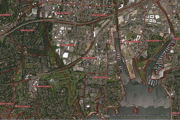
World Postcode and Administrative Boundaries provides comprehensive coverage of global administrative and postcode boundaries, offering six administrative levels for analysis specific to each country, such as township or city boundaries. It includes administrative hierarchy and alternate postal names for the U.S. and Australia, aggregating worldwide postal and administrative boundaries into a single product with a consistent, single table structure format for ease of use.
Coverage
Australia
Canada
France
Global
Japan
New Zealand
United Kingdom
United States
Product Family
Boundaries
Usage
Using World Postcode and Administrative Boundaries helps:
Retail: Locate customers and analyze consumer expenditures
Marketing: Define sales territories and track consumer expenditures