Data analytics is ultimately about the insights you can derive from relationships within your geospatial data. In a scenario involving sales analytics, for example, most companies would like to better understand the relationship between customers and products for geospatial intelligence analysis.
For a more nuanced view, you might prefer to see relationships between groups of customers (by region or demographic category, for example) and the products you sell. If you know which customers are buying which products together, you can gain a better understanding of upsell or cross-sell opportunities.
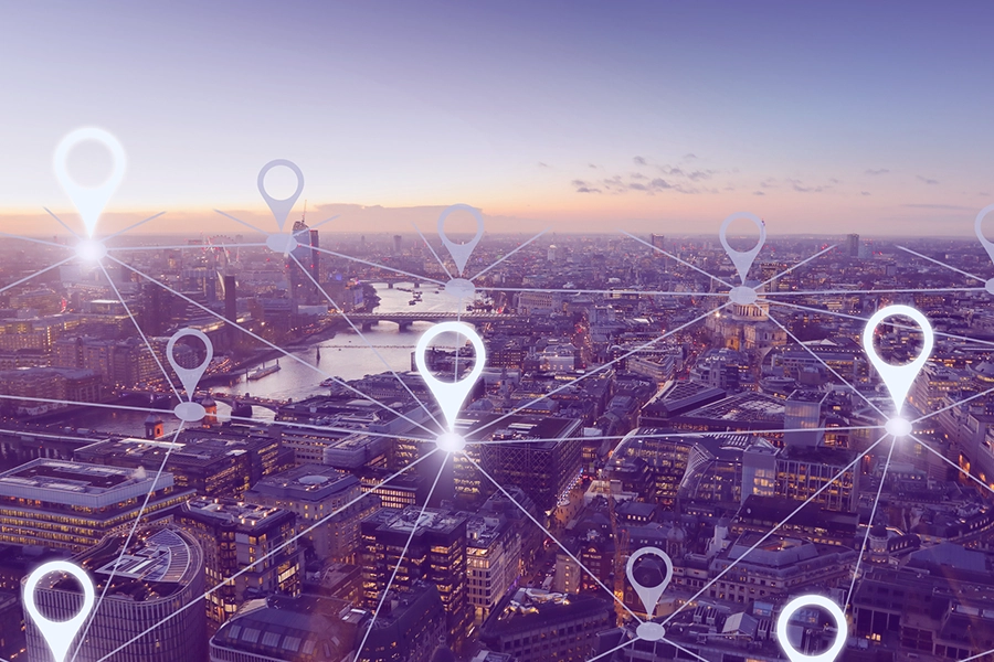
Geospatial intelligence, that is, location and the contextual information it carries with it, provides a wealth of new opportunities to understand all the things that are important to an organization, with greater depth. When it comes to understanding the geospatial context of data, most companies have barely scratched the surface of what is possible.
Consider the default approach that most companies take toward location. Customers, vendors, warehouses, and retail stores are all generally associated with an address. Very often, those addresses roll up to a regional management structure, or at the very least, they provide a coarse-grained method of categorizing customers in transactions based on geography.
If a company serves multiple demographics, it may wish to classify market areas for each store according to the group it predominantly serves. Financial institutions, for example, may wish to designate certain branches as “commuter” locations, whereas others might be defined as “suburban” or “business district” branches.
All of that is helpful if you want to better understand the customers you serve and the prospective customers you would like to convert. It falls far short, however, of what is possible.
Geospatial intelligence adds context
Imagine that you operate a retail store, and you begin to add geospatial data to what you already know. Geospatial intelligence can tell you more about where your customers are coming from, what their interests are, and which other businesses they visit when they shop at your store.
You can also better understand the universe of customers within your market area. Who is frequenting the neighborhood but not shopping at your store? What are their interests? What brings them to the area? How might you build awareness within that population and ultimately entice them to shop at your store?
Location data can tell you more about your competition. Knowing the distance, size, and traffic associated with a competitor’s location can help you to better understand the market dynamics of the environment in which you are operating.

Geospatial intelligence reveals traffic patterns through time. A few years ago, it was not uncommon for market researchers to sit in one location for a day or two and count cars in the parking lot, or shopping carts leaving the store. With location intelligence, you no longer need to sample consumer behavior; you have the actual data. It’s far more accurate and it reveals a great deal more about the customers and prospects in your target market.
For insurance companies, geospatial intelligence helps underwriters to better understand risk profiles. Instead of assessing risk based on zip code, for example, an insurer can evaluate the potential risks associated with a building’s exact distance from the shoreline of the nearby river. They can estimate the risk of loss due to a forest fire based on the proximity of combustible materials to an insured location. For an automobile policy, they can distinguish between a policyholder whose driveway faces a main thoroughfare and another whose driveway abuts a quiet side street.
Test drive geospatial data
Precisely Data Experience
To get a firsthand look at how Precisely can help your business add context, understand behavior, and engage customers, register for a free test-drive of geospatial data in the Precisely Data Experience.
Geospatial intelligence reveals behavior
More and more, location intelligence is being used for competitive advantage in site selection. Understanding traffic patterns, for example, can tell you the potential volume of customers that may pass by the location on any given day.
Even better, though, is to understand who is passing by. Are the demographics of this group more likely to support a toy store (young families) or a hearing-aid center (senior citizens)? Are potential customers primarily frequenting the area during the daytime, or in the evenings and on weekends? Are there complementary businesses that could attract those customers to your location?
Location intelligence can also help you to better understand movement patterns among demographic groups. If you operate a family restaurant, for example, you might like to know how far your current customers are willing to travel to have dinner at your location. This could help you to identify specific demographics whom you should target with advertising, or it could help you to better understand the market dynamics of potential new locations.
Geospatial intelligence helps to engage with customers
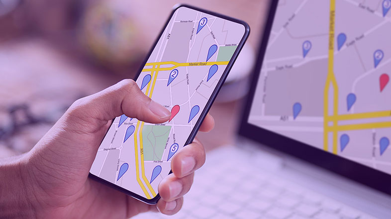
Many people are already familiar with the concept of geofencing, that is, delivering targeted advertisement to consumers when they arrive within a certain defined area. A restaurant located in the shopping mall, for example, may deliver discounts or coupons to nearby shoppers as the lunch hour approaches. Location intelligence brings together mobility data, applies contextual boundaries (in this case, the shopping mall and its parking area), and creates a platform for engaging customers in a highly targeted way.
In addition to geofencing, location intelligence provides you with opportunities to interact directly with customers and prospects based on their behavior and life events. By defining an audience of people who recently visited a financial planner, for example, banks can identify consumers who may be in the market for life insurance or annuities, and serve targeted ads to those prospects.

Geospatial intelligence helps companies to discover new relationships, recognize important patterns, and detect anomalies. Although some important use cases have been covered here, there is virtually no limit to the ways in which innovative companies can benefit from applying geospatial intelligence.
Service companies can operate more efficiently by optimizing their workforce across the entire region. Financial services companies are using location intelligence to detect fraud. Supply chain managers can better understand risk and optimize the value of multiple suppliers or distribution centers. Governments are using geospatial intelligence to better position resources for social services and emergency response.
To get a firsthand look at how Precisely can help your business add context, understand behavior, and engage customers, register for a free test-drive of geospatial data in the Precisely Data Experience.