Address Fabric™
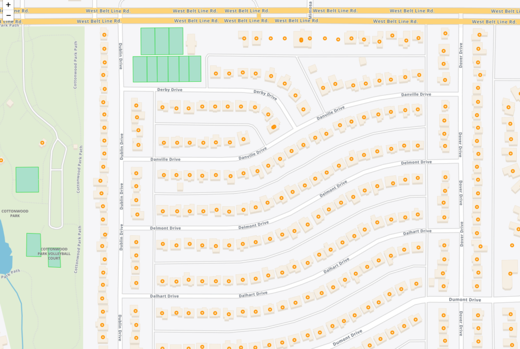
The Address Fabric™ data set is a current and comprehensive list of all known addresses in the United States, Canada, the United Kingdom, Australia, New Zealand and France. Each record is pre-geocoded with precise latitude and longitude, including non-deliverable physical locations, and is delivered in an easy-to-use flat file format for database and analytics integration. Records include street address, coordinate location, census information, property details, and parent/child relationships for primary and secondary addresses. Each record is assigned a unique PreciselyID for data management and enrichment with additional contextual information.
Dynamic Neighborhoods
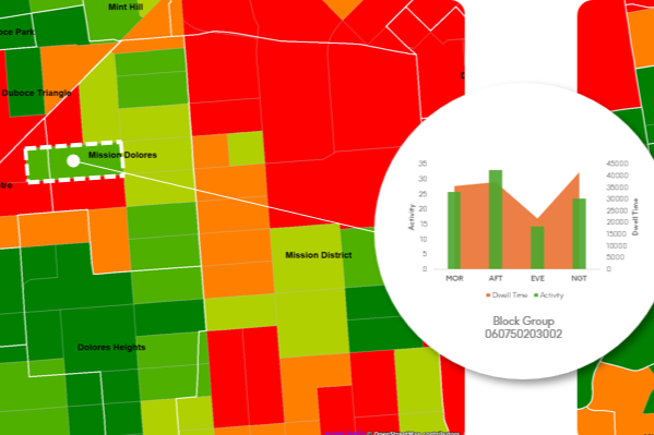
Dynamic Neighborhoods provides a powerful view of how populations move, gather, and engage across communities by combining rich visitation and demographic data. It reveals how busy neighborhoods are, how populations flow through them, and how these dynamics shift across different demographic cohorts and over time. The dataset is analysis-ready with pre-aggregated information at the U.S. census block group level and pre-calculated metrics on activity, dwell time, and location importance.
StreetPro™ Discover

StreetPro™ Discover makes it easy to surface and understand street segment data. Designed for AI, it transforms street segments into semantically rich, human-readable data objects, which enables you to ask LLMs questions like “Which streets in this suburb have high traffic exposure?” and immediately get the information you need.
PSYTE™ Geodemographic Segmentation
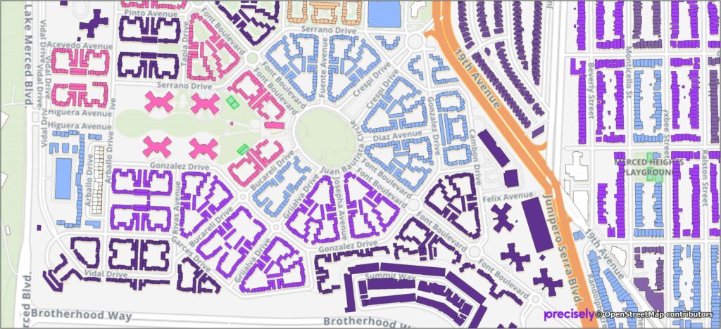
PSYTE™ geodemographic segmentation data products provide an easy-to-understand classification of neighborhoods based on shared socioeconomic and lifestyle characteristics such as age, income, and education. They enable users to understand customers, discover new target markets, and personalize outreach with intuitive neighborhood segmentation based on hundreds of variables and simple labels like “Metropolitan Young Elite.”
Precisely currently offers four PSYTE™ geodemographic data products:
PSYTE™ US geodemographic data
PSYTE™ Canada geodemographic data
PSYTE™ UK geodemographic data
PSYTE™ Australia geodemographic data
World Points of Interest – Premium
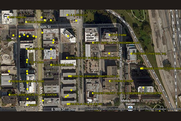
World Points of Interest – Premium provides location and detailed company information for a diverse set of commercial and retail businesses, leisure, landmark, and geographic features in more than 170 countries and territories, covering over 250 million POIs, with more than 27 million in the U.S. It is geocoded using Precisely’s premium geocoding solutions for accuracy and includes a unique PreciselyID for each addressable POI for streamlined data management.
World Boundaries Premium
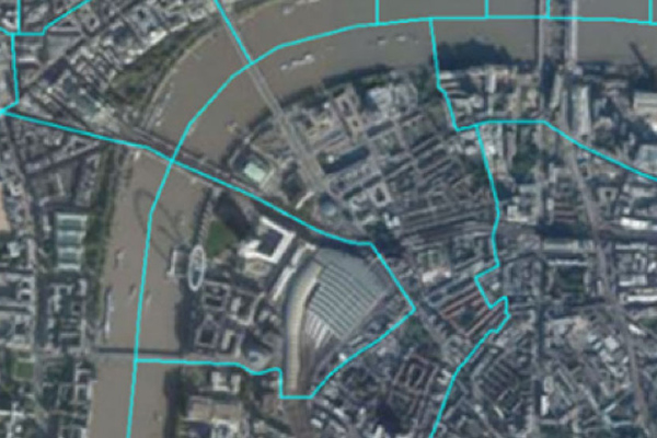
World Boundaries Premium provides comprehensive coverage of global administrative geographies combined with neighborhood, suburb, land use, and postal geographies. Administrative boundaries from multiple sources for over 200 countries and territories are aggregated in a single dataset, with a single file and table structure for ease of integration.
Boundaries allow users to perform a host of geographic and analytic functions, such as visualizing and manipulating data for map representation or linking company data to accurately locate customers and constituents. They also support a host of forward and reverse geocoding functions, geo-tagging, and geofencing.
The product contains two versions. The geo-tagged version provides all boundaries as one flat boundary file where each polygon represents a unique set of administrative values to the most granular level. The display version provides separate layers for each administrative level.
StreetPro Navigation Premium
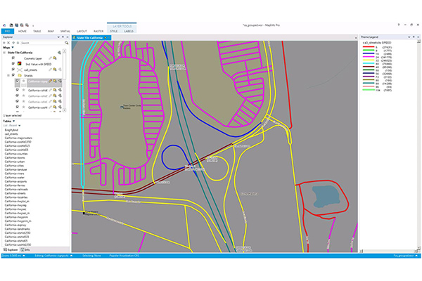
StreetPro Navigation Premium enhances StreetPro Display by enabling precise and efficient route calculation between points on a road network, considering estimated travel speed and vehicle restrictions. It includes all features of StreetPro Display plus address, turn restrictions, and speed information, allowing various geographic and spatial functions not available with other online basemap providers. It features a single connected road network with average speed profiles for time of day and height, width, and weight restrictions. Scale 1:10,000
StreetPro 2500
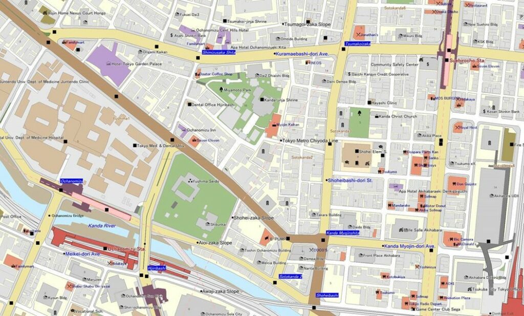
StreetPro 2500 contains map information, including roads and railways, for all of Japan. Detailed building shape outlines are provided for urban areas and their satellite regions, making it possible to determine the precise location of each customer.
StreetPro Display
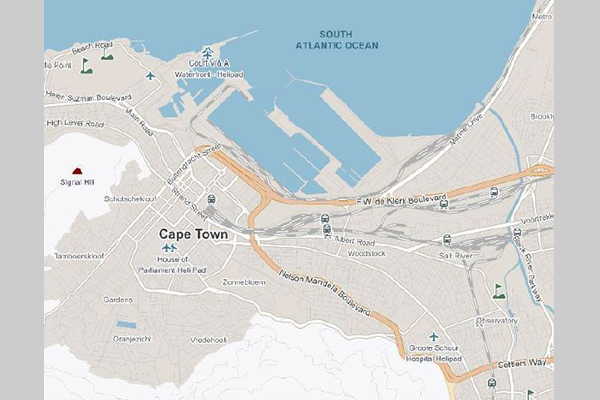
StreetPro Display is a fully attributed vector GIS dataset containing streets, administrative areas, gazetteer, transport, land use, and points of interest data. It is an attributed, interactive dataset for geographic and spatial functions, built using data from geocoding software, and can be delivered with MapInfo Routefinder Networks for desktop geocoding, backdrop mapping, attributes, and context for drivetime and routing analysis. It provides robust street-level data for mapping, analysis, routing, and geocoding.
Context Commuter Score
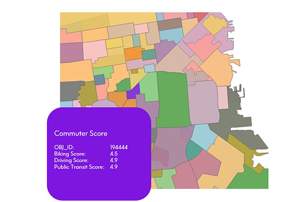
Context Commuter Score provides transportation data which allows users to rate the navigability of an underlying geography. Scores range from 0.0-5.0, with a higher score indicating more commuter opportunities. Biking, driving, and public transit data are all provided and scored.
StreetPro Traffic
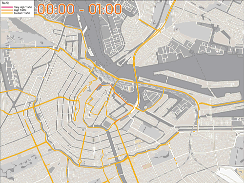
StreetPro Traffic provides information about relative traffic volumes on the StreetPro network, using anonymous feeds from billions of positioning devices within vehicles to offer speed, time, and direction of travel information. It provides aggregate counts of probe devices on road segments, aggregated as annual averages per direction of travel by day of week and hour of day, including additional aggregations for total average weekly, weekday, and weekend probe counts by hour of the day.
FSA and 6-Digit Postal Codes
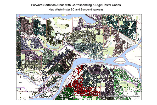
FSA and 6-Digit Postal Codes are available separately or in a bundle. The FSA file contains polygon boundary files and centroids for Canada’s Forward Sortation Areas (FSAs). The 6-Digit Postal Codes file contains over 800,000 postal records and over 4,000 new postal codes, including latitude and longitude coordinates and a single “most representative point” for each postal code in Canada.