
StreetPro Navigation Premium
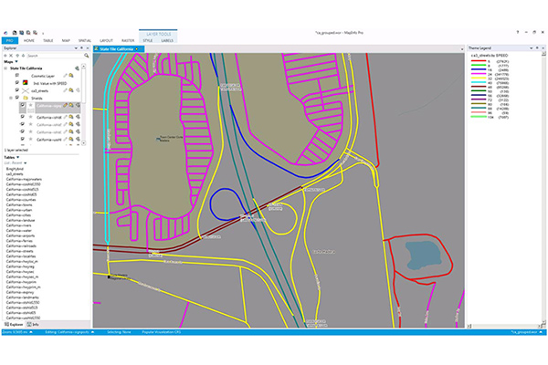
- StreetPro Navigation Premium enhances StreetPro Display by enabling precise and efficient route calculation between points on a road network, considering estimated travel speed and vehicle restrictions. It includes all features of StreetPro Display plus address, turn restrictions, and speed information, allowing various geographic and spatial functions not available with other online basemap providers. It features a single connected road network with average speed profiles for time of day and height, width, and weight restrictions. Scale 1:10,000
Coverage
- Australia
- Canada
- France
- Global
- Japan
- New Zealand
- United Kingdom
- United States
Product Family
- Streets
Usage
Using StreetPro Navigation Premium helps:
- Insurance and Financial Services: Perform fraud and risk analysis by locating customers, incidents, and areas of risk while revealing geographic relationships.
- Telecommunications: Determine which addresses can access networks, wireless, and broadband services.
- Retail: Define catchments and identify routes and drivetimes for logistics.
- Public transport: Generate isochrones and iso distance polygons for routing and logistics applications.
- Emergency services: Provide accurate routes and run sheets for emergency response.
- Public planning: Understand the local environment and the potential impact of decisions.
Details
Product includes:
- Airports
- Built-up areas
- Water features
- Points of interest
- Localities and gazetteers
- Streets
- Parks
- Land use
- Freeways and highways
- Railways and stations
- Address points, ranges, and postcodes
- Entry level geocoding
- Turn restrictions
- Speed limits (modeled and actual)
- Segment driving direction
- Average speed by time of day
- Height, weight, and width restrictions
Specifications
- Update Frequency
- Quarterly, Biannually, Annually
- Coverage
- Global
- Unit of Sale
- Global, Continent, Country