Francièmes Boundaries
Francièmes Boundaries is a valuable complement to Neighborhood, Residential, and other boundary datasets to help visualize where census polygons overlap with other boundaries in France. Boundary layers include Cantons, Communes, IRIS, and Postaux.
Core Based Statistical Areas (CBSA)
Core Based Statistical Areas (CBSAs) provides the geographic boundaries and point information for more than 900 statistical regions defined by the U.S. Office of Management and Budget, representing highly populated core areas and adjacent communities with high economic and social integration.
Congressional Districts
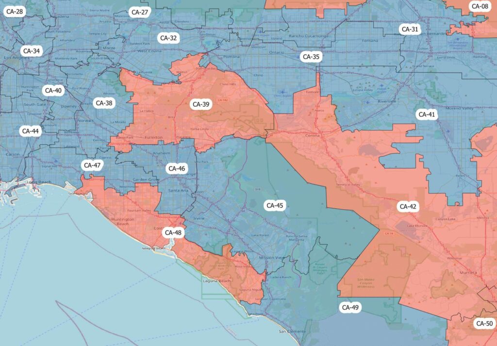
Congressional Districts depicts the physical extent and demographic profile of each district of the U.S. Congress. The dataset includes population estimates, contact information, and party affiliation for each current congressional representative at the time, along with previous congressional districts for historical comparison.
World Points of Interest – Premium – Consumer
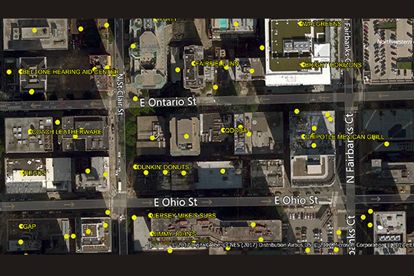
The World Points of Interest Premium Consumer dataset provides location and detailed company information for consumer-focused retail and service businesses, leisure, landmarks, and geographic features in more than 175 countries and territories. It includes a unique identifier, PreciselyID, for each addressable POI to streamline data management and enrichment.
Census Boundary Bundle – US
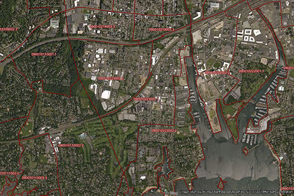
Census Boundary Bundle – US provides a visual backdrop for demographic and other business analysis in the United States. It can be purchased as a complete bundle that includes all seven layers, or as individual layer datasets.
World Time Zone Boundaries
World Time Zone Boundaries provides spatial representation of the world’s lands and waters by time zone, showing each time zone’s deviation in hours from Coordinated Universal Time (UTC) and Daylight Saving Time (DST). Each time zone is divided by country (or parts of countries) and associated with the start and end dates/times of daylight saving time.
Desktop and Enterprise Routing Networks
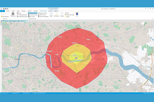
Desktop and Enterprise Routing Networks provide compiled street networks for use with mapping and routing software, compatible with Precisely’s MapInfo Pro and Spectrum software, powering analytics at both desktop and enterprise levels.
Census Boundary Bundle – Canada
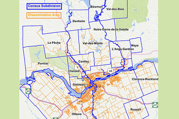
Census Boundary Bundle – Canada represents complete hierarchies of political and census boundaries for Canada. The standard version is updated every 5 years following the new Canada census, while the enhanced version is updated quarterly and includes selected large water features and more detailed shorelines.
Context Demographics
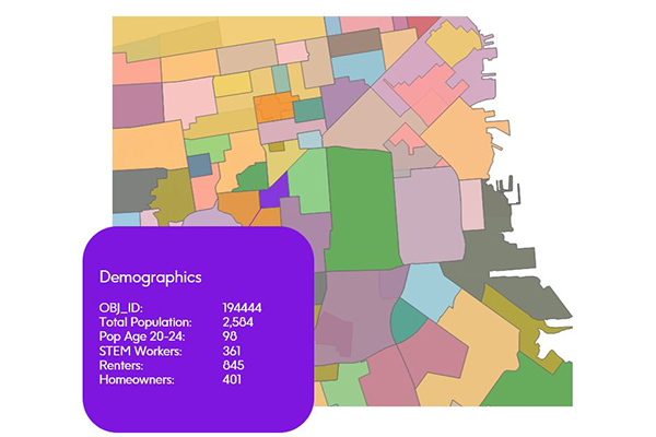
Context Demographics provides U.S. Census and American Community Survey data projected onto Precisely polygons for a deeper understanding of the demographic makeup of specific geographic areas.