Address Fabric™
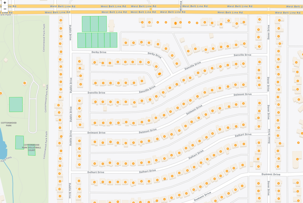
The Address Fabric™ data set is a current and comprehensive list of all known addresses in the United States, Canada, the United Kingdom, Australia, New Zealand and France. Each record is pre-geocoded with precise latitude and longitude, including non-deliverable physical locations, and is delivered in an easy-to-use flat file format for database and analytics integration. Records include street address, coordinate location, census information, property details, and parent/child relationships for primary and secondary addresses. Each record is assigned a unique PreciselyID for data management and enrichment with additional contextual information.
Market Link – Premium Locality Names and Postcodes
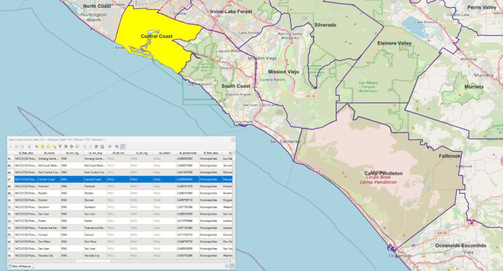
Market Link – Premium Locality Names and Postcodes is an enrichment and relationship file that enhances address and place data with comprehensive locality names and detailed attributes, relating postcodes to administrative boundaries and providing more complete postal rosters for better handling of non-geographic postcodes.
Context Walkability
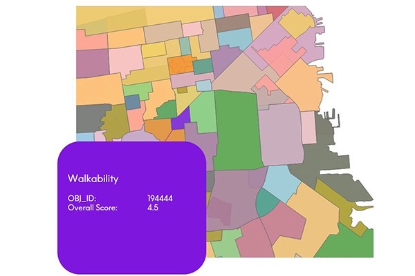
Context Walkability summarizes the level of accessibility to leisure, amenity, and other points of interest when walking. Each walkability score uses data on street intersection density, proximity to transit stops, and variations in land use to measure the probability of people walking as a mode of transportation. Scores range from 0.0 to 5.0, with higher scores indicating geographic regions more conducive to walking.
Context School Rankings
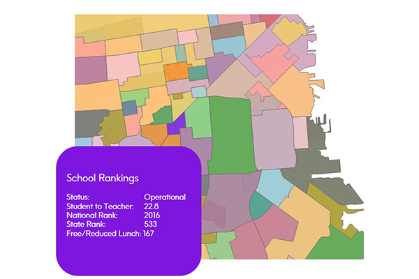
Context School Rankings provides state-wide school performance rankings, math and reading test scores, historical rankings, and school profiles for a specific geographic area. It offers a comprehensive view of public schools throughout the U.S. with over 80 combined attributes, designed to work seamlessly with public school points and school attendance zones data.
Context Real Estate
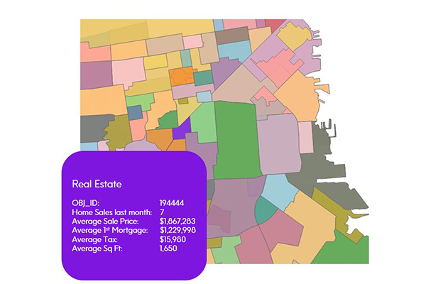
Context Real Estate consists of two datasets: Context Real Estate Sales, providing quarterly analytics of sales trends, average sales price, mortgage metrics, and other sales metrics derived from public records; and Context Real Estate Inventory, offering a snapshot of neighborhood properties including median tax rate, average year built, property types, and occupancy, also derived from public records.
School Boundaries
School Boundaries provides three layers of geographic information, including school points, school districts, and school attendance zones, for more than 10,000 school districts in the United States. Additional attribute tables accommodate the complexities and variations of school data from state to state and region to region for further analysis.
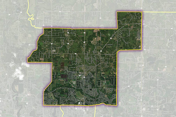
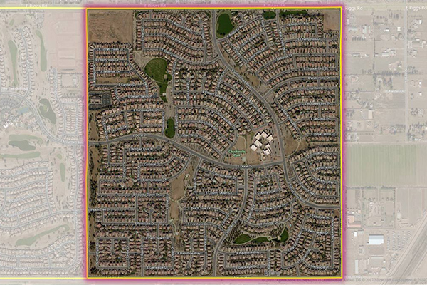
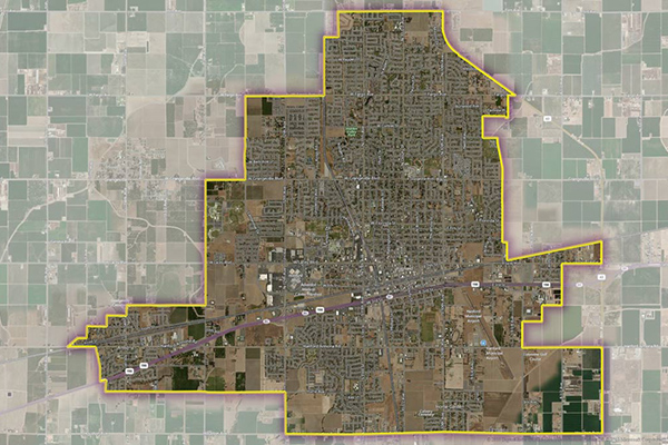
Residential Boundaries
Residential Boundaries provides geographic boundaries, names, and other locational classifications that define the extent and character of residential neighborhoods. Each polygon covers geography that consists of at least 90% residential housing, including homes, condos, and apartment complexes. The acquisition system ensures the most current information is used to define and name a residential area.
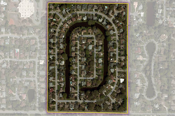
Neighborhood Boundaries
Neighborhood Boundaries identifies and names neighborhoods as experienced by local residents, providing data on population, demographics, culture, and other attributes, along with a hierarchy of precisely validated names and boundaries.
Metro Areas
Metro Areas represents over 1,000 major metropolitan areas around the world, including top real estate markets. These areas incorporate satellite cities, towns, and rural areas that are socioeconomically linked to an urban core, typically with a population greater than 50,000 and a density of at least 1,000 people per square mile.