
Metro Areas
Metro Areas represents over 1,000 major metropolitan areas around the world, including top real estate markets. These areas incorporate satellite cities, towns, and rural areas that are socioeconomically linked to an urban core.
Metro Areas includes the top real estate markets, and typically have a population greater than 50,000 and an overall population density of at least 1,000 people per square mile.
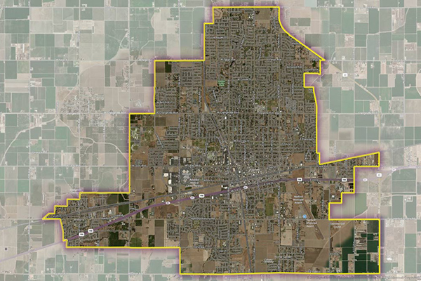
Benefits
- Identify the geographic extent of key metropolitan areas around the world
- Analyze national and local areas with similar attributes
- Leverage detailed descriptions of metropolitan areas that represent the economic, cultural, and population concentrations more accurately than census designations
Details
- Over 565 key metro boundaries in the U.S. and Canada
- Over 1,000 metro boundaries worldwide
- Records contain a unique and persistent object ID, primary name, object type code, subtype code, centroid coordinate, and area fields.
- Names table provides alternative names and languages
Features
- Align to Neighborhood Boundaries
- Geographic attribution shows overlapping administrative geographies
- Change table details adds/deletes/changes from the last release
- Quarterly updates show where change and coverage expansion has occurred
ooioioiiiooioioiioiiooioiiiooiooiiioioioiiiooioioii
Specifications
Coverage
Global
Release schedule
Quarterly
Unit of sale
Global Country