Precisely Advances Agentic-Ready Data with a New AI Agent, Data Product Marketplace, and MCP-Enabled APIs Read press release
Build solutions faster with Precisely APIs, pre-linked data, and MCPStart free trial
Privacy Notice Updates: We’ve updated our Privacy Notices to reflect changes to our services, new legal requirements, and the types of personal data we collect. Learn more
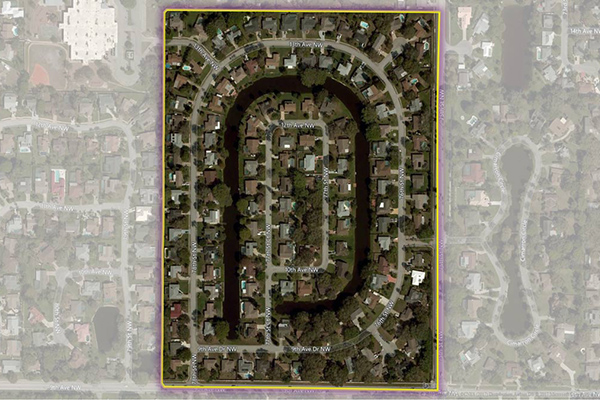
Residential Boundaries provides geographic boundaries, names, and other locational classifications that define the extent and character of residential neighborhoods. Each polygon covers geography that consists of at least 90% residential housing, including homes, condos, and apartment complexes. The acquisition system ensures the most current information is used to define and name a residential area.
Coverage
United States
Product Family
Boundaries
Usage
Use Residential Boundaries to:
Locate and compare homes within desired residential areas
Perform more accurate valuation and appraisal using more granular and refined boundaries
Create targeted direct marketing campaigns
Improve local search capabilities and associating lists with specific named residential areas
View residential locations within the context of relevant online search activity
Collect and organize a search around common residential communities and compare neighborhoods that are singular in character and function