ABS Boundary Pack
The ABS Boundary Pack provides a complete set of Australian geographic boundaries applicable to the Census of Population and Housing as well as other data from the Australian Bureau of Statistics.
GeoVision
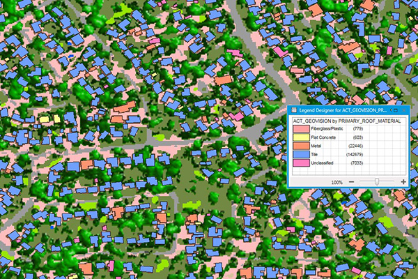
GeoVision provides a nationwide representation of the built environment in Australia. It offers detailed building information including building height, roofing information, overhanging trees, solar panels, and swimming pools, with accuracy and detail for urban, regional, rural, and remote areas.
ZIP Codes and Carrier Routes
The content describes multiple datasets related to USPS ZIP Codes, including Carrier Routes, ZIP Plus 4s, and ZIP Code Boundaries and Centroids. ZIP Plus 4s identify over 60 million deliverable USPS ZIP Plus 4s and correlate with U.S. census block data. ZIP Code Boundaries provide spatial demarcations and include centroids, while Carrier Routes represent areas served by USPS mail carriers, following roads for accuracy.
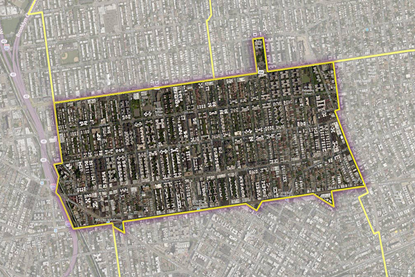
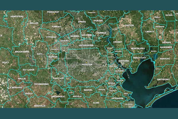
Census Boundary Bundle – US
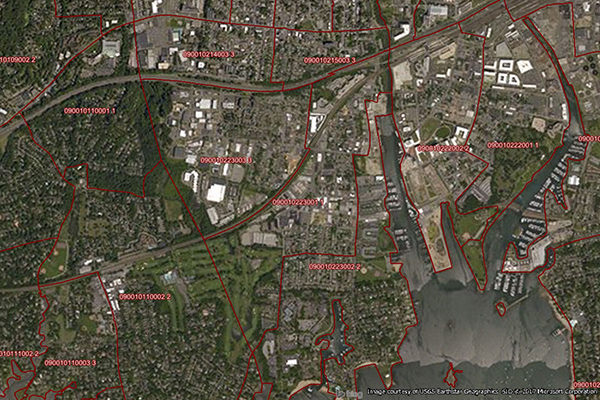
Census Boundary Bundle – US provides a visual backdrop for demographic and other business analysis in the United States. It can be purchased as a complete bundle that includes all seven layers, or as individual layer datasets.
World Time Zone Boundaries
World Time Zone Boundaries provides spatial representation of the world’s lands and waters by time zone, showing each time zone’s deviation in hours from Coordinated Universal Time (UTC) and Daylight Saving Time (DST). Each time zone is divided by country (or parts of countries) and associated with the start and end dates/times of daylight saving time.
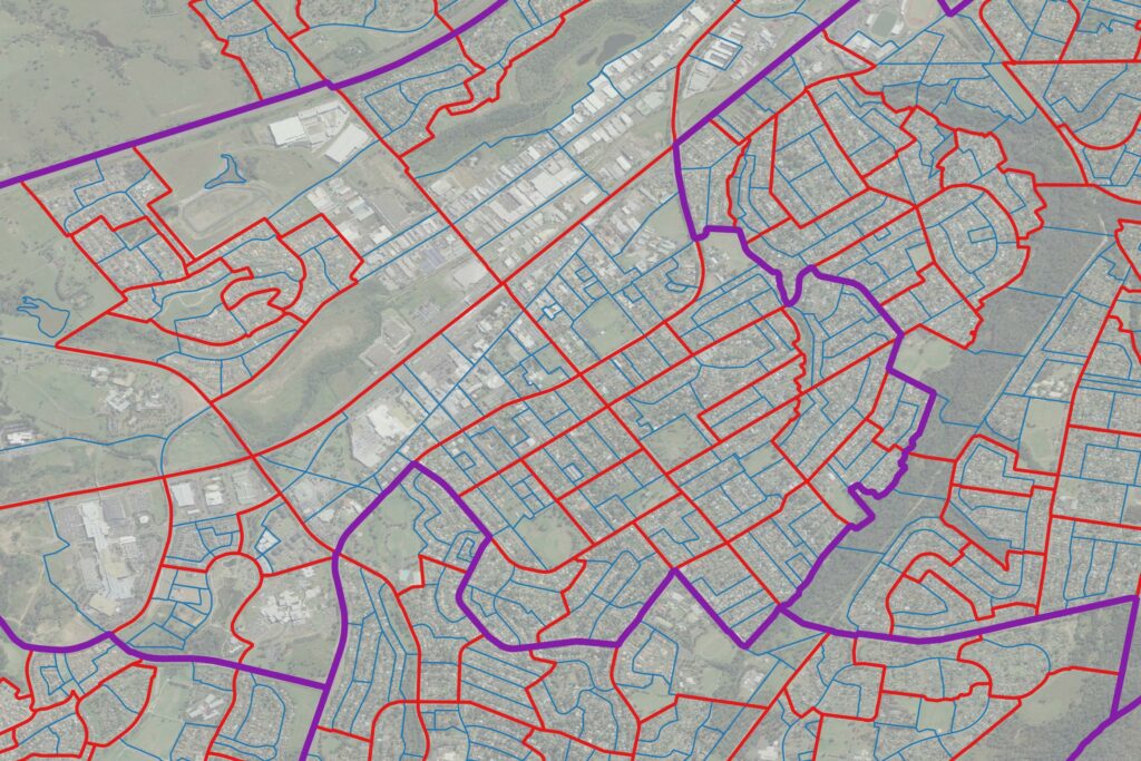
Residential Boundaries
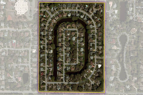
Residential Boundaries provides geographic boundaries, names, and other locational classifications that define the extent and character of residential neighborhoods. Each polygon covers geography that consists of at least 90% residential housing, including homes, condos, and apartment complexes. The acquisition system ensures the most current information is used to define and name a residential area.
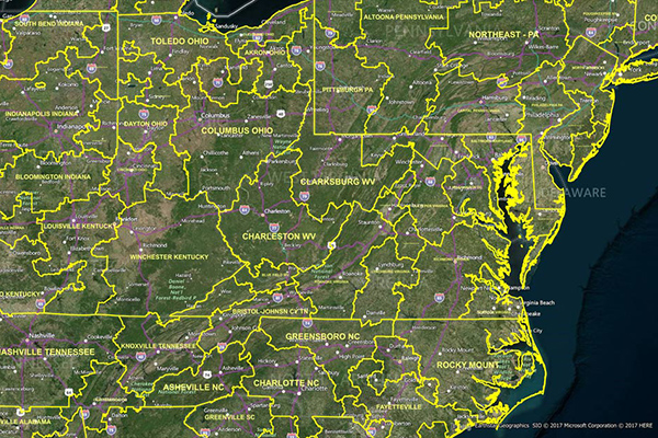
RateCenterInfo
RateCenterInfo provides geographic information about rate centers throughout the United States and Canada, including boundaries and specific information about NPAs and NXXs operating within each rate center. It is used by competitive local exchange carriers (CLECs), cable telephony operators, internet service providers (ISPs), and wireless carriers for determining areas of operation and number assignments.
LATAInfo
LATAInfo is a map database of Local Access Transport Areas (LATAs) across the United States, used to determine whether a telephone call is carried by a local exchange carrier or a long-distance provider. Each LATA generally contains a single major metropolitan area, with calls within a LATA routed by Local Exchange Carriers (LECs) and calls between different LATAs transported by long-distance carriers.
Census Boundary Bundle – Canada
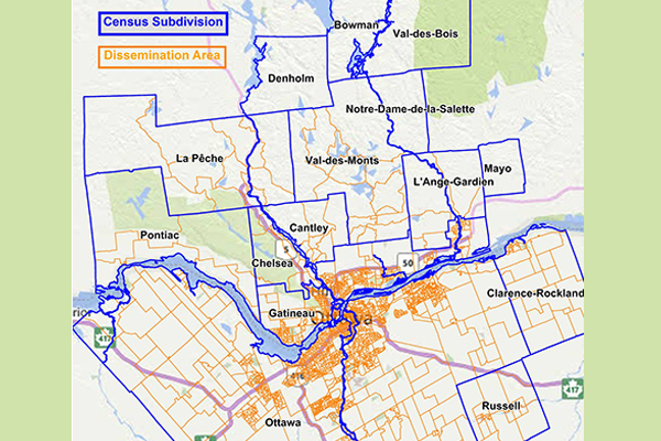
Census Boundary Bundle – Canada represents complete hierarchies of political and census boundaries for Canada. The standard version is updated every 5 years following the new Canada census, while the enhanced version is updated quarterly and includes selected large water features and more detailed shorelines.