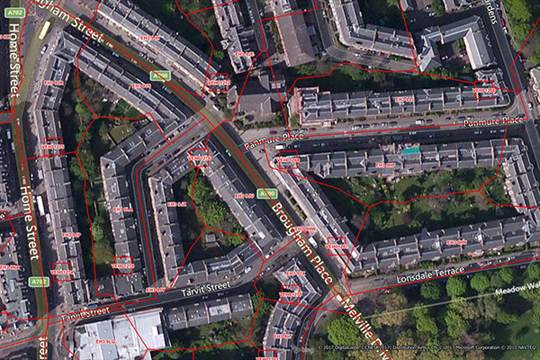
Shopping Boundaries
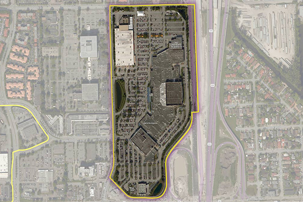
The Shopping Boundaries delineate geographic boundaries around U.S. shopping locations, focusing primarily on larger metropolitan areas. They include buildings or areas associated with shopping locations and are designed to enclose retail stores, services, restaurants, and parking areas.
FSA and 6-Digit Postal Codes
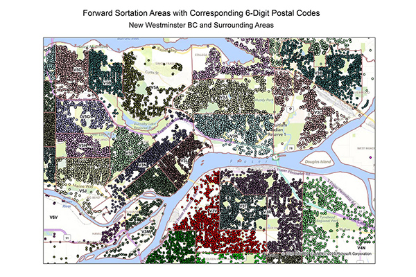
FSA and 6-Digit Postal Codes are available separately or in a bundle. The FSA file contains polygon boundary files and centroids for Canada’s Forward Sortation Areas (FSAs). The 6-Digit Postal Codes file contains over 800,000 postal records and over 4,000 new postal codes, including latitude and longitude coordinates and a single “most representative point” for each postal code in Canada.
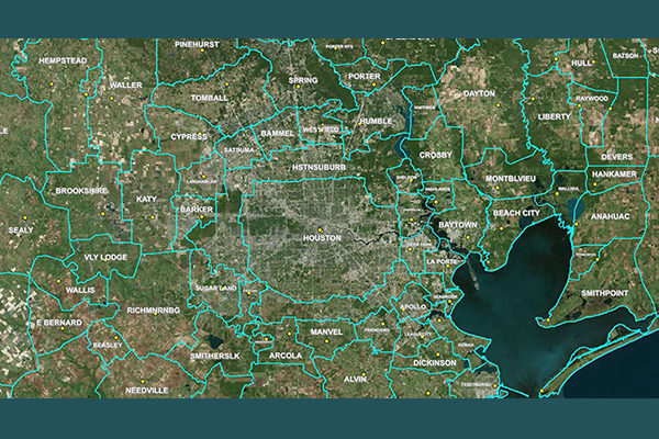
Designated Market Areas (DMA®)
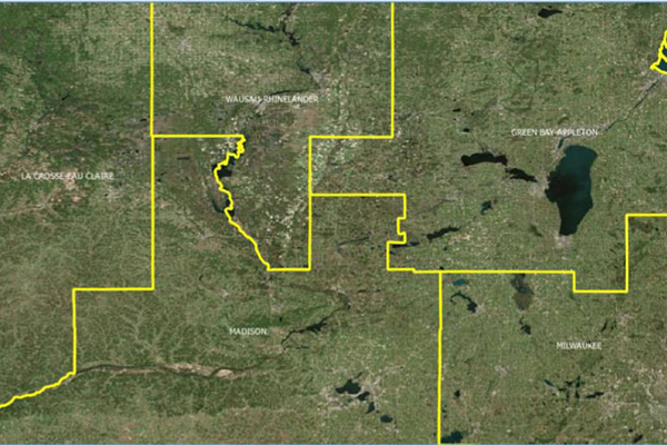
Designated Market Area (DMA®) definitions are licensed from Nielsen and delineate the geographic boundaries of over 200 distinctive regions to assess TV penetration of audience counts within the U.S. for a viewership year. DMA® is a registered service mark of the Nielsen company. Used under License. The DMA® code is created using Nielsen’s assignment of a 3-digit number for identification and processing purposes.
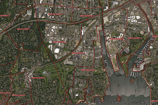
Core Based Statistical Areas (CBSA)
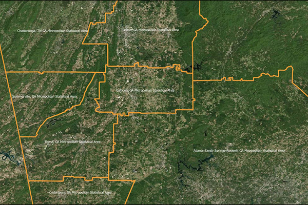
Core Based Statistical Areas (CBSAs) provides the geographic boundaries and point information for more than 900 statistical regions defined by the U.S. Office of Management and Budget, representing highly populated core areas and adjacent communities with high economic and social integration.
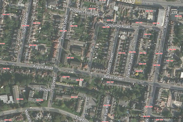
Code-Point with Polygons
Code-Point with Polygons is a vector dataset providing detailed local addressing coverage in Great Britain, including the extent of each postcode unit.
GeoVision
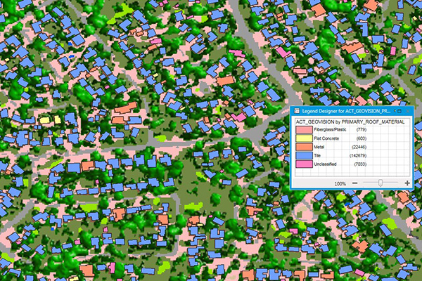
GeoVision provides a nationwide representation of the built environment in Australia. It offers detailed building information including building height, roofing information, overhanging trees, solar panels, and swimming pools, with accuracy and detail for urban, regional, rural, and remote areas.
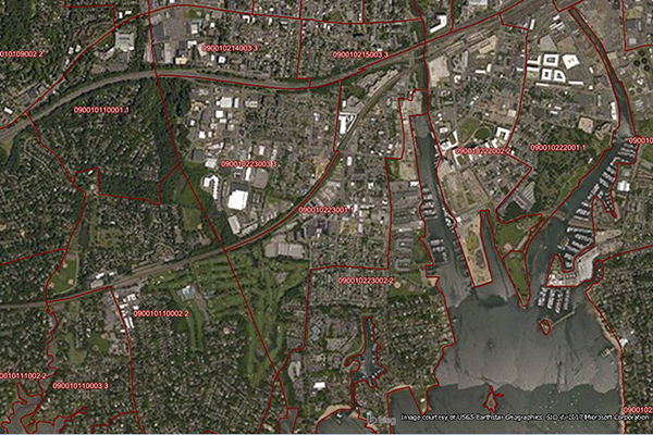
Census Boundary Bundle – US
Census Boundary Bundle – US provides a visual backdrop for demographic and other business analysis in the United States. It can be purchased as a complete bundle that includes all seven layers, or as individual layer datasets.
Residential Boundaries
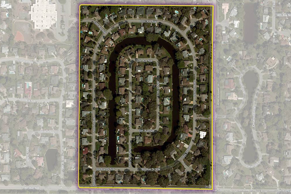
Residential Boundaries provides geographic boundaries, names, and other locational classifications that define the extent and character of residential neighborhoods. Each polygon covers geography that consists of at least 90% residential housing, including homes, condos, and apartment complexes. The acquisition system ensures the most current information is used to define and name a residential area.
RateCenterInfo
RateCenterInfo provides geographic information about rate centers throughout the United States and Canada, including boundaries and specific information about NPAs and NXXs operating within each rate center. It is used by competitive local exchange carriers (CLECs), cable telephony operators, internet service providers (ISPs), and wireless carriers for determining areas of operation and number assignments.
PostPoint Professional
PostPoint Professional provides full postcode coverage and British National Grid references for the United Kingdom, with accuracy to within one meter of a property near the centre of the postcode, including an indicator of each point’s precision.
Postcode Boundaries Australia

Postcode Boundaries Australia provides a geographic representation of postcode boundaries for the entire country, built in a nationwide parent-child hierarchy from suburb and locality boundaries, with no gaps or overlaps.
World Postcode and Administrative Boundaries
World Postcode and Administrative Boundaries provides comprehensive coverage of global administrative and postcode boundaries, offering six administrative levels for analysis specific to each country, such as township or city boundaries. It includes administrative hierarchy and alternate postal names for the U.S. and Australia, aggregating worldwide postal and administrative boundaries into a single product with a consistent, single table structure format for ease of use.