Code-Point with Polygons
Code-Point with Polygons is a vector dataset providing detailed local addressing coverage in Great Britain, including the extent of each postcode unit.
BoundaryLine
BoundaryLine contains all levels of electoral and administrative boundaries for Great Britain, including districts, wards, civil parishes, and communities, as well as European, assembly, and parliamentary constituencies. It offers a compilation of 54 datasets detailing Great Britain’s administrative and voting boundaries.
ABS Boundary Pack
The ABS Boundary Pack provides a complete set of Australian geographic boundaries applicable to the Census of Population and Housing as well as other data from the Australian Bureau of Statistics.
ZIP Codes and Carrier Routes
The content describes multiple datasets related to USPS ZIP Codes, including Carrier Routes, ZIP Plus 4s, and ZIP Code Boundaries and Centroids. ZIP Plus 4s identify over 60 million deliverable USPS ZIP Plus 4s and correlate with U.S. census block data. ZIP Code Boundaries provide spatial demarcations and include centroids, while Carrier Routes represent areas served by USPS mail carriers, following roads for accuracy.
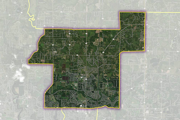
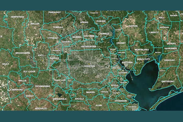
US Municipal Boundaries
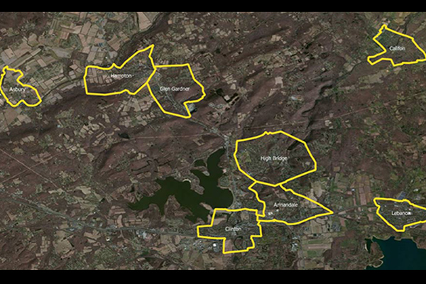
US Municipal Boundaries contains up-to-date information on the boundaries of incorporated municipalities, updated quarterly to include new incorporations, annexations, de-annexations, mergers, consolidations, dis-incorporations, and/or dissolution of local governmental entities.
Census Boundary Bundle – US
Census Boundary Bundle – US provides a visual backdrop for demographic and other business analysis in the United States. It can be purchased as a complete bundle that includes all seven layers, or as individual layer datasets.
World Time Zone Boundaries
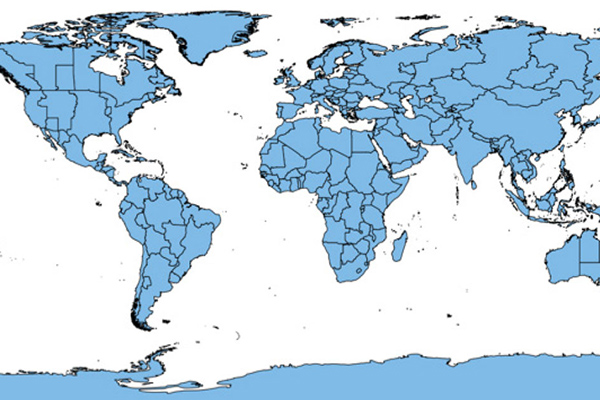
World Time Zone Boundaries provides spatial representation of the world’s lands and waters by time zone, showing each time zone’s deviation in hours from Coordinated Universal Time (UTC) and Daylight Saving Time (DST). Each time zone is divided by country (or parts of countries) and associated with the start and end dates/times of daylight saving time.
Suburbs and Localities Australia
Suburbs and Localities Australia provides authoritative geographic demarcations of gazetted suburb boundaries and non-gazetted locality boundaries in a single table format, with over 15,000 suburb and locality boundaries, key for mapping and linking business data for geographic analysis.
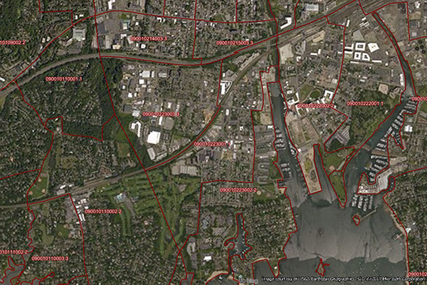
School Boundaries
School Boundaries provides three layers of geographic information, including school points, school districts, and school attendance zones, for more than 10,000 school districts in the United States. Additional attribute tables accommodate the complexities and variations of school data from state to state and region to region for further analysis.
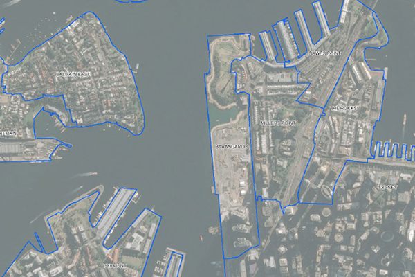
Residential Boundaries
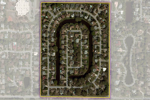
Residential Boundaries provides geographic boundaries, names, and other locational classifications that define the extent and character of residential neighborhoods. Each polygon covers geography that consists of at least 90% residential housing, including homes, condos, and apartment complexes. The acquisition system ensures the most current information is used to define and name a residential area.
RateCenterInfo
RateCenterInfo provides geographic information about rate centers throughout the United States and Canada, including boundaries and specific information about NPAs and NXXs operating within each rate center. It is used by competitive local exchange carriers (CLECs), cable telephony operators, internet service providers (ISPs), and wireless carriers for determining areas of operation and number assignments.
PostPoint Professional
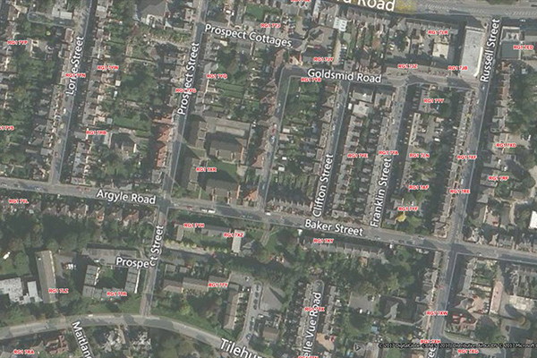
PostPoint Professional provides full postcode coverage and British National Grid references for the United Kingdom, with accuracy to within one meter of a property near the centre of the postcode, including an indicator of each point’s precision.