
Geofences
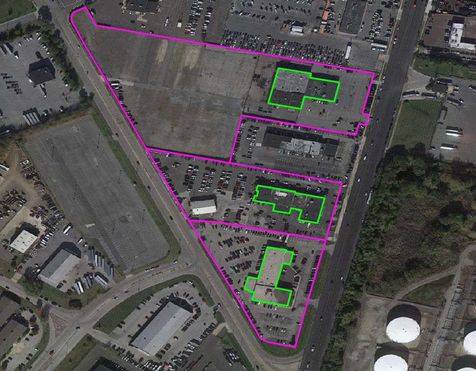
Precisely’s geofence datasets deliver precise polygon boundaries around real-world locations that power precision marketing, real estate analysis, emergency response planning, and location-based consumer engagement.
Ground Level Images
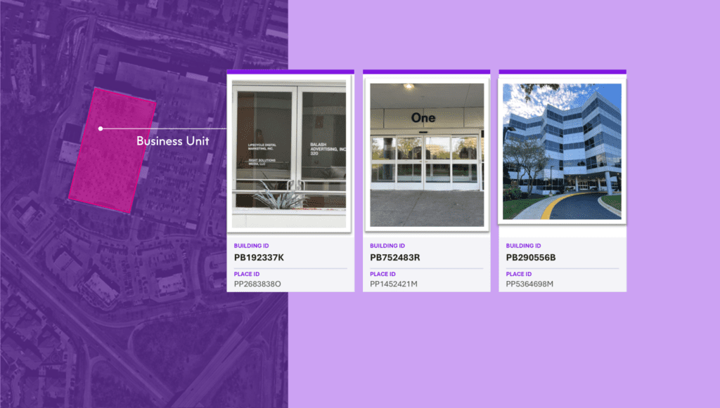
Ground Level Images delivers recent, high-resolution exterior photos of commercial buildings with structured metadata and unique identifiers, enabling faster property assessment, risk evaluation, and scalable, data-driven workflows.
Address Fabric™
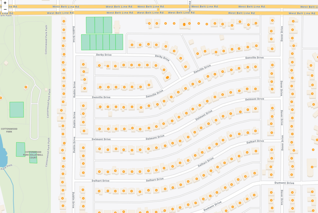
The Address Fabric™ data set is a current and comprehensive list of all known addresses in the United States, Canada, the United Kingdom, Australia, New Zealand and France. Each record is pre-geocoded with precise latitude and longitude, including non-deliverable physical locations, and is delivered in an easy-to-use flat file format for database and analytics integration. Records include street address, coordinate location, census information, property details, and parent/child relationships for primary and secondary addresses. Each record is assigned a unique PreciselyID for data management and enrichment with additional contextual information.
Dynamic Neighborhoods
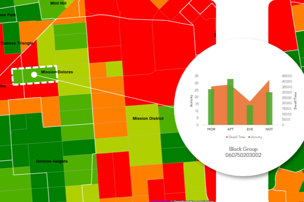
Dynamic Neighborhoods provides a powerful view of how populations move, gather, and engage across communities by combining rich visitation and demographic data. It reveals how busy neighborhoods are, how populations flow through them, and how these dynamics shift across different demographic cohorts and over time. The dataset is analysis-ready with pre-aggregated information at the U.S. census block group level and pre-calculated metrics on activity, dwell time, and location importance.
Market Link – Premium Locality Names and Postcodes
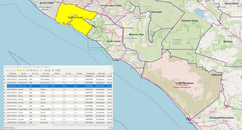
Market Link – Premium Locality Names and Postcodes is an enrichment and relationship file that enhances address and place data with comprehensive locality names and detailed attributes, relating postcodes to administrative boundaries and providing more complete postal rosters for better handling of non-geographic postcodes.
PSYTE™ Geodemographic Segmentation
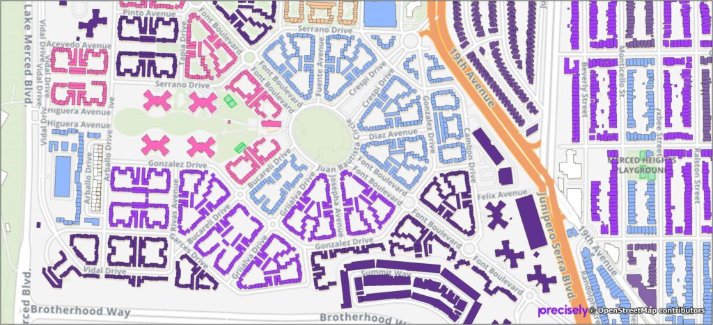
PSYTE™ geodemographic segmentation data products provide an easy-to-understand classification of neighborhoods based on shared socioeconomic and lifestyle characteristics such as age, income, and education. They enable users to understand customers, discover new target markets, and personalize outreach with intuitive neighborhood segmentation based on hundreds of variables and simple labels like “Metropolitan Young Elite.”
Precisely currently offers four PSYTE™ geodemographic data products:
PSYTE™ US geodemographic data
PSYTE™ Canada geodemographic data
PSYTE™ UK geodemographic data
PSYTE™ Australia geodemographic data
World Points of Interest – Premium
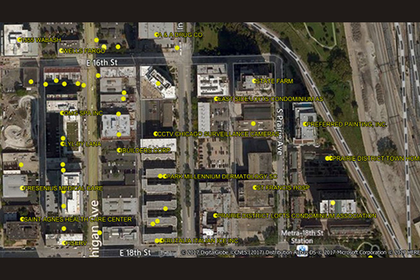
World Points of Interest – Premium provides location and detailed company information for a diverse set of commercial and retail businesses, leisure, landmark, and geographic features in more than 170 countries and territories, covering over 250 million POIs, with more than 27 million in the U.S. It is geocoded using Precisely’s premium geocoding solutions for accuracy and includes a unique PreciselyID for each addressable POI for streamlined data management.
World Boundaries Premium
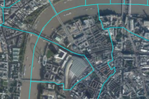
World Boundaries Premium provides comprehensive coverage of global administrative geographies combined with neighborhood, suburb, land use, and postal geographies. Administrative boundaries from multiple sources for over 200 countries and territories are aggregated in a single dataset, with a single file and table structure for ease of integration.
Place Intelligence Metrics Dataset
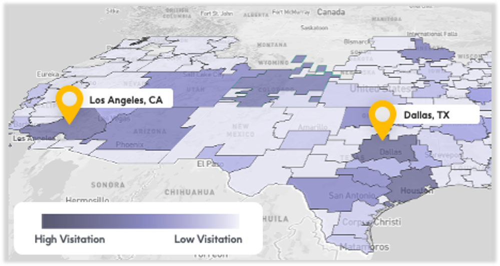
Place Intelligence Metrics is a comprehensive dataset providing location-based metrics for over 8 million points of interest, enabling custom analytic visualizations around visitation trends, consumer demographic attributes, cross-visitation behaviors, and trade area analysis for enhanced decision-making.
Consumer Attributes

Gain a deeper understanding of your most important customers and prospects with Consumer Attributes, which include demographic attributes, socioeconomic attributes, 90 days of brand visitation, and mobile device type. It enables enriching first-party data with real-world attributes using the Firehose Visits Dataset.
Audiences Direct

Audiences Direct is a dataset based on the same data used to create Precisely PlaceIQ Audiences, available for the entire set of syndicated audiences or specific audiences of interest. It allows organizations to mesh Precisely PlaceIQ audience data with their own first-party data to build unique segments for advertisers.
Firehose Visits Dataset

Firehose Visits delivers visitation data for all brands within Precisely PlaceIQ’s full taxonomy, spanning retail, dining, auto, travel, financial services, and more. It includes time-stamped visitation, individual brand location, designated market area (DMA), zip code, state, time zone, and metadata about the place visited. It helps enrich first-party data with real-world attributes to build audience profiles and activate digital campaigns.