
Place Visit Stream Direct
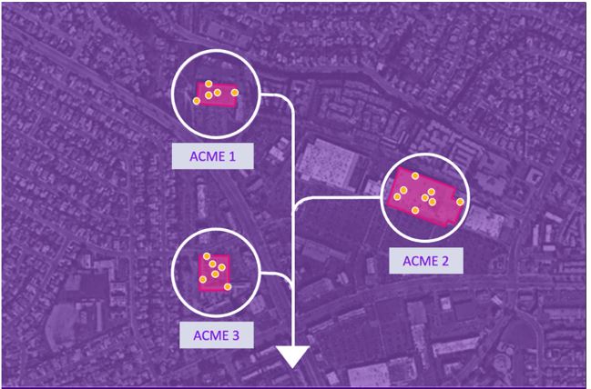
Easily measure and enhance the performance of marketing campaigns using foot traffic pattern data to quantify campaign effects and optimize them as needed. It allows attribution of real-world impact of ad spend across platforms, daily measurement of foot traffic at locations, and campaign optimization for visits, not clicks.
Estimates and Projections
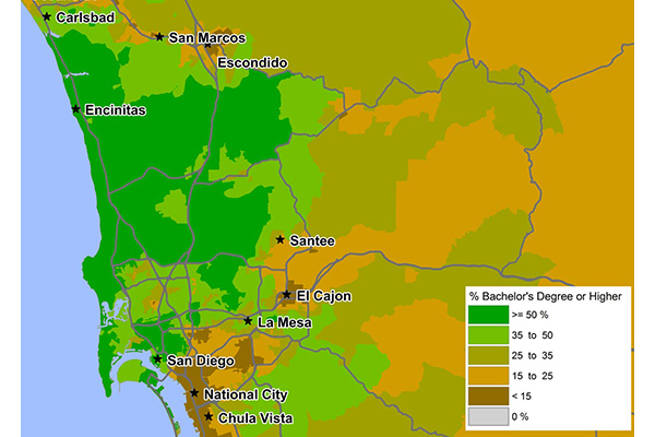
Estimates and Projections makes it easy to understand current population characteristics and predict future changes in the demographic landscape, based on variables such as total population, total households, population characteristics (age, sex, composition), and household characteristics (income). These variables are updated to current year and projection values using rigorous, proprietary processes.
Buildings
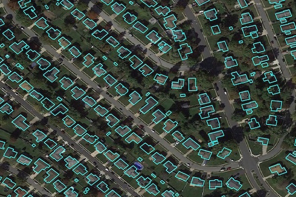
Precisely Buildings provides detailed footprints enriched with characteristics to provide property insights for insurers, telecoms, and location-based analytics. It includes unique identifiers, property essentials (FIPS, census block, address details), building basics (type and usage), location, and elevation (lowest, highest, and centroid). It enables interoperability and enrichment with other features like parcel boundaries and property characteristics, and is available via Data Graph API.
Daytime Population
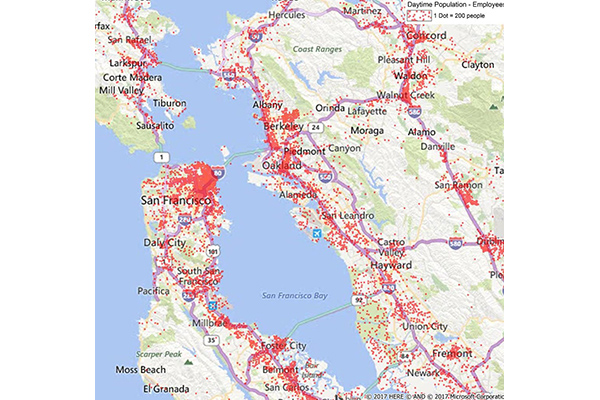
Daytime Population provides estimates of the number of people likely to be within a designated area during normal business hours, based on compiled business data including the number of employees at each business location. These estimates are aggregated to calculate daytime employees, which are then added to the at-home residential population (including retired, in school, or not in the labor force) to arrive at a total daytime population.
GroundView Demographics
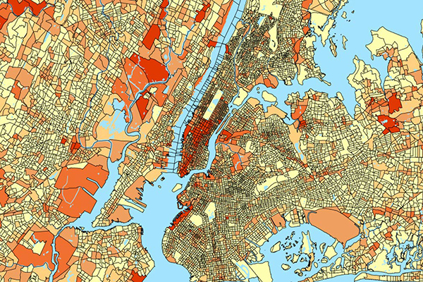
GroundView datasets deliver vital socioeconomic information within a geographic context for a deeper understanding of current and potential markets, including household income and consumer spending habits. It provides thousands of variables for insights at the block group level to support intelligence-based marketing, planning, and expansion strategies.
Context Commuter Score
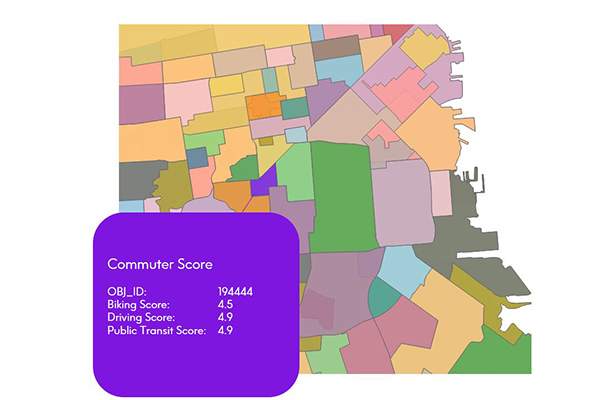
Context Commuter Score provides transportation data which allows users to rate the navigability of an underlying geography. Scores range from 0.0-5.0, with a higher score indicating more commuter opportunities. Biking, driving, and public transit data are all provided and scored.
Global Demographics
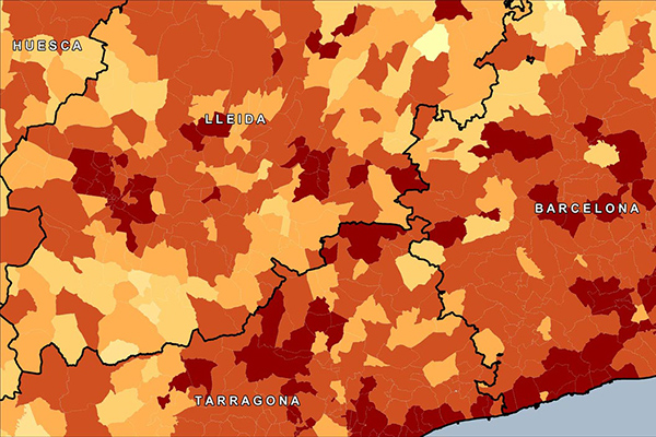
Global Demographics provides comprehensive coverage of global demographics such as population, age, sex, race, and disposable income as they relate to local administrative and/or postal geographies, extending to 140 countries globally, offering information on 6.7 billion consumers.
CallingAreaInfo
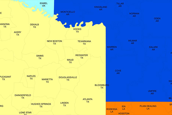
CallingAreaInfo represents the local calling plans available to business and residential customers when calling from or into a given location. It includes details on number plan areas (NPAs), the first three digits of the phone number after the area code (NXXs), and associated rates. It offers advanced data and geographic visualization capabilities to identify, analyze, and understand local calling plans and rate structures for specific geographic regions.
Code-Point with Polygons
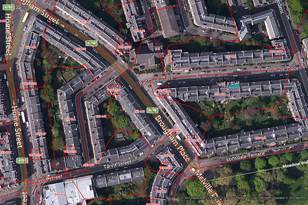
Code-Point with Polygons is a vector dataset providing detailed local addressing coverage in Great Britain, including the extent of each postcode unit.
BoundaryLine
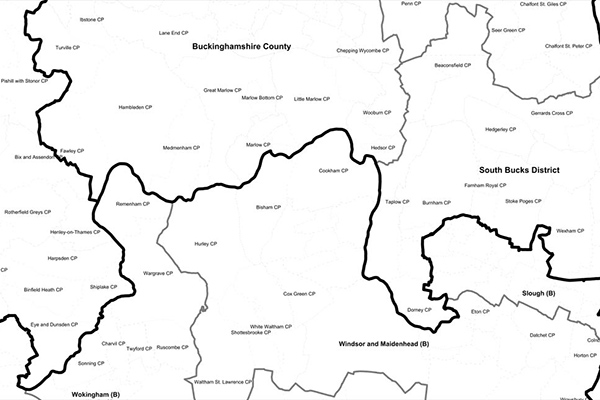
BoundaryLine contains all levels of electoral and administrative boundaries for Great Britain, including districts, wards, civil parishes, and communities, as well as European, assembly, and parliamentary constituencies. It offers a compilation of 54 datasets detailing Great Britain’s administrative and voting boundaries.
ABS Boundary Pack
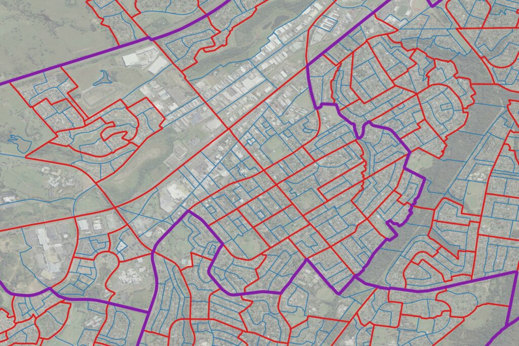
The ABS Boundary Pack provides a complete set of Australian geographic boundaries applicable to the Census of Population and Housing as well as other data from the Australian Bureau of Statistics.
ZIP Codes and Carrier Routes
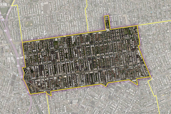
The content describes multiple datasets related to USPS ZIP Codes, including Carrier Routes, ZIP Plus 4s, and ZIP Code Boundaries and Centroids. ZIP Plus 4s identify over 60 million deliverable USPS ZIP Plus 4s and correlate with U.S. census block data. ZIP Code Boundaries provide spatial demarcations and include centroids, while Carrier Routes represent areas served by USPS mail carriers, following roads for accuracy.