Precisely Risks
Address-level risk data for wildfires, urban conflagration, floods, earthquakes, and severe weather.
Trusted data for extreme events
Precisely Risks delivers the comprehensive data you need to assess natural hazard exposure and make faster, more impactful decisions. Disaster can strike at any time or place—be prepared for the unexpected with location-specific datasets and detailed attributes that empower you to analyze and act with complete confidence.
Trial our data risk free for 30 days
Explore and test data built to enhance analysis, emergency planning, underwriting, and more.

Risk mitigation
Minimize losses, optimize emergency planning, and prepare for unexpected catastrophes with current and historical risk data

Exposure analysis
Increase profitability and financial stability by identifying high-risk areas and assessing aggregate risk across geographies

Address-level context
Understand risk at a granular scale and assess the proximity of individual addresses to high-risk areas

Interoperability
Risk data is pre-linked to our extensive data portfolio, enabling faster time-to-value and deeper insight with complementary datasets
Prepare for wildfires
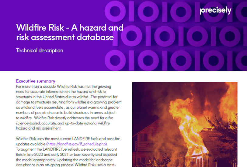
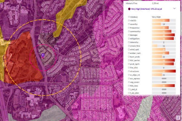
Visualize wildfire exposure across all 50 U.S. states, down to individual properties. Analyze severity, frequency, and impact from burning embers, as well as the potential for urban conflagration, to inform your prevention, planning, and underwriting decisions.
Featured datasets:
Wildfire Risk & Wildfire Risk Extreme
Property Fire Risk

Plan for floods
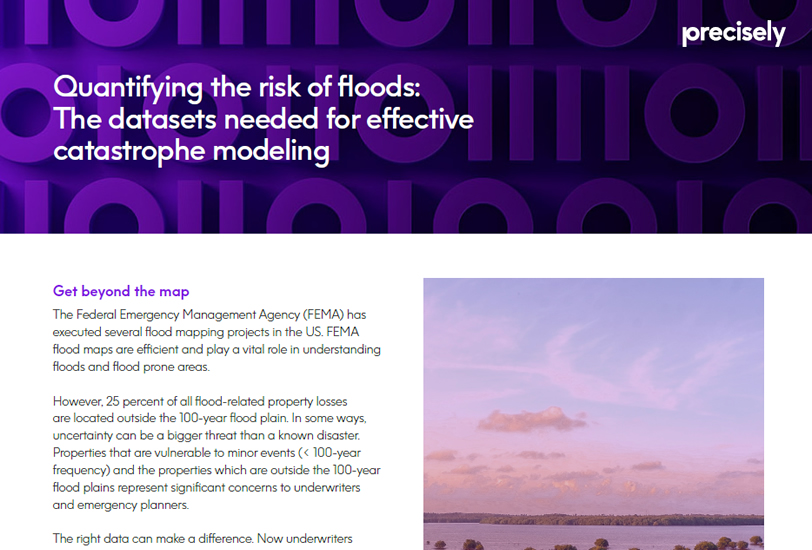
Assess flood exposure for any property or region in the U.S., with data on coastal and inland flooding, elevation, historic flood zones, storm surge, and excessive rainfall. Gain the insight needed to model risk across hurricanes, severe storms, and river flooding.
Featured datasets:
Flood Risk
Coastal Risk
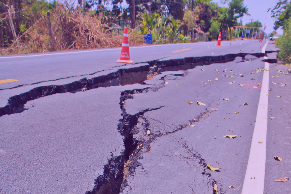
Brace for earthquakes
Deeply understand property proximity to fault lines, landslide zones, sinkholes, and other land-based threats.
Armed with these insights, you can more accurately assess probable maximum loss and risk exposure across regions vulnerable to mass movement events.
Featured dataset: Earth Risk
Stay ahead of severe weather
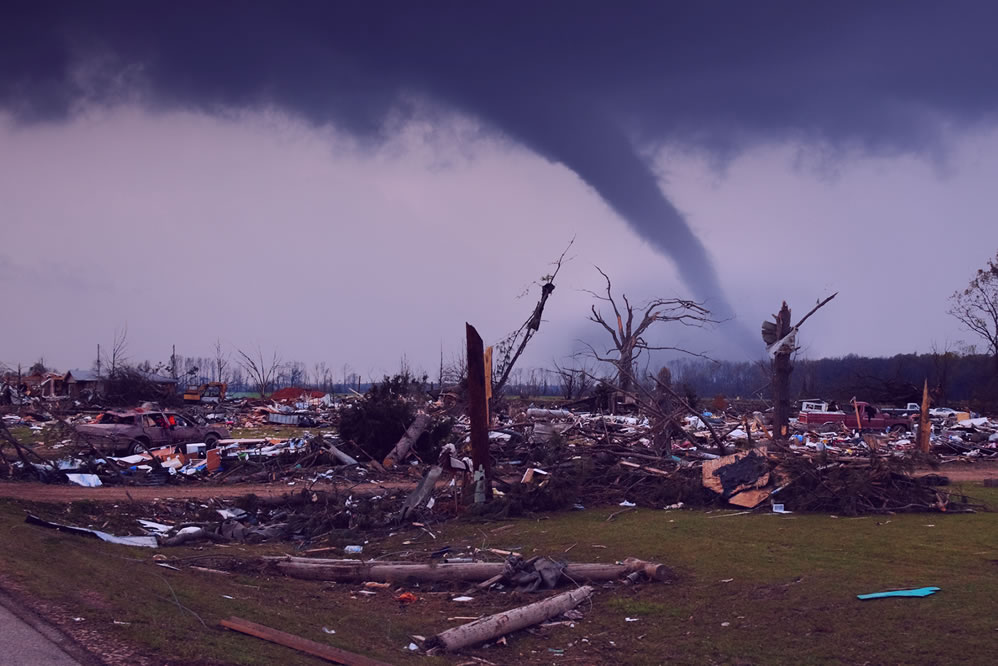
Make more informed decisions with detailed historical records of tornadoes, hail, wind, and hurricane severity. Analyze event magnitude, property damage, and location-specific exposure to better model risk across individual properties and entire regions.
Featured dataset:
Historical Weather Risk
Purpose-built for your priorities

Underwriting and quoting
Increase revenue by pricing policies and premiums competitively. With comprehensive risk data, you can accurately calculate probable maximum loss and set premiums that reflect property-specific risks.
Featured datasets:
Wildfire Risk & Wildfire Risk Extreme
Flood Risk
Property Fire Risk

Emergency response planning
Optimize evacuation routes, allocate resources effectively, and build resiliency into your business. By proactively identifying high-risk areas and modeling potential scenarios, you can plan more effectively for the unexpected.
Featured datasets:
Earth Risk
Flood Risk
Wildfire Risk
Coastal Risk

Exposure analysis
Reduce your exposure in high-risk areas and uncover new opportunities for growth. With comprehensive risk data, you can gain a complete picture of exposure to strike a balance between profitability and stability.
Featured datasets:
Wildfire Risk & Wildfire Risk Extreme
Flood Risk
Property Fire Risk
Earth Risk
Coastal Risk

Location planning
Avoid placing assets and key infrastructure in high-risk zones and make more informed property purchasing decisions with data that provides a complete view of natural hazard risk.
Featured datasets:
Historical Weather Risk
Wildfire Risk
Flood Risk
Coastal Risk
With access to accurate and reliable data, San Bernardino County can help manage risk to property and citizens
“Access to historical and real-time wildfire risk data is game-changing for us.
Being able to show a citizen their home on a map, and the risk associated with that area, has a powerful impact on fire stewardship within the community, further reducing the risk of wildfire damage.”
— Laura Dyberg, President, Mountain Fire Safe Council (San Bernardino County)
Go Further
To enrich your data even further, explore how the Data Graph API provides seamless access to curated datasets through a single query, enabling powerful, flexible enrichment.
Then, discover how Data Link connects Precisely’s portfolio with trusted partner data to simplify integration and unlock even more valuable insights.
Data Link brings market-leading data provider partners together so you can rapidly discover, connect, and use the data you need most for analytics and operations.


