Precisely Advances Agentic-Ready Data with a New AI Agent, Data Product Marketplace, and MCP-Enabled APIs Read press release
Build solutions faster with Precisely APIs, pre-linked data, and MCPStart free trial
Privacy Notice Updates: We’ve updated our Privacy Notices to reflect changes to our services, new legal requirements, and the types of personal data we collect. Learn more
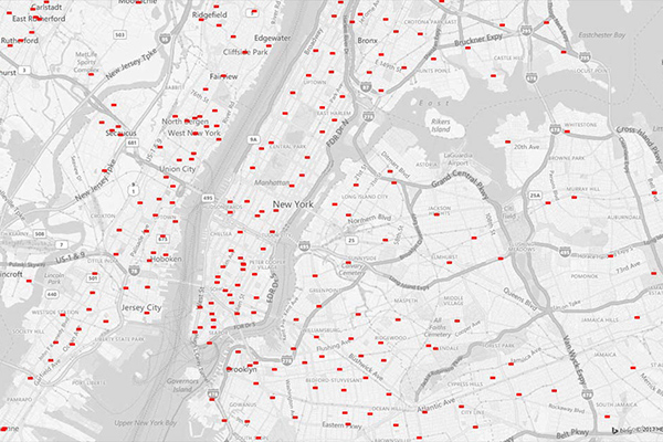
Property Fire Risk is a compilation of fire departments and fire stations across the United States featuring proximity measurements and drive times from each physical address. It provides detailed information for over 47,000 fire departments and stations, including location, contact details, county name, type of department, number of associated stations, station number, and daypart specific drive time and distance for the three nearest responding stations within 25 miles.
Coverage
United States
Product Family
Risks
Usage
understand a property’s proximity to the nearest fire station to assist in determining risk exposure
underwriting, and calculating probable maximum loss
Determine whether a residential property has adequate local fire support
Draw on analytical mapping solutions to enhance Public Protection Class (PPC) information
Employ batch processing and automation to support rate calculation and policy underwriting
Support site selection analysis
Analyze distribution of fire protection to identify gaps in coverage or areas that need further assistance