Precisely Advances Agentic-Ready Data with a New AI Agent, Data Product Marketplace, and MCP-Enabled APIs Read press release
Build solutions faster with Precisely APIs, pre-linked data, and MCPStart free trial
Privacy Notice Updates: We’ve updated our Privacy Notices to reflect changes to our services, new legal requirements, and the types of personal data we collect. Learn more
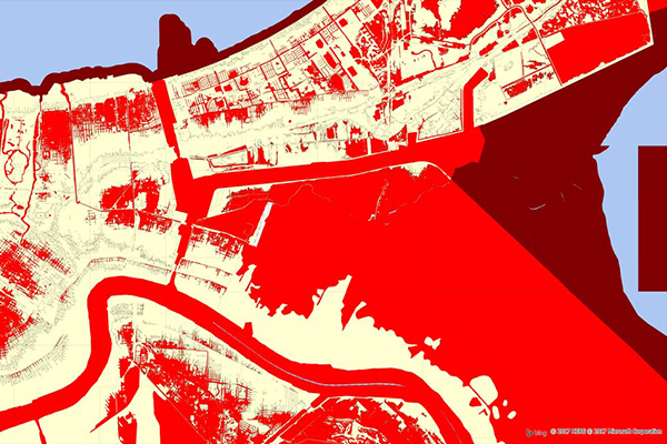
Flood Risk provides the most current flood mapping data from the Federal Emergency Management Agency (FEMA), including flood zone information, a database of community participation status in the National Flood Insurance Program (NFIP), elevation profiles, and proximity measurements to varying levels of flood risk.
Coverage
United States
Product Family
Risks
Usage
Use Flood Risk to:
Determine flood zone, community participation status, and LOMR information for any property in the U.S.
Assess flood risk exposure and calculate premiums for distribution policyholders
Determine flood zone elevation and NFIP qualification for properties
Augment edge case risk assessments by understanding a property’s distance to 100-year and special hazard flood zones
Identify the nearest water body to a property and view the elevation profile between the property location and the water body
National coverage of the DFIRM (Digital Flood Insurance Rate Maps) and other georeferenced FEMA information.
National coverage of community participation status in the NFIP.
Enrichment file, which appends all flood risk information to every affected address location using a unique identifier, as well as proximity measurements for added insight at the address level.