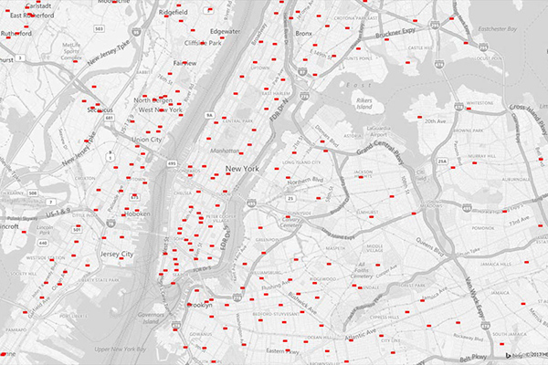
GfK Cresta Zones
Catastrophic Risk Evaluating and Standardizing Target Accumulations (CRESTA) Zones are critical for reinsurance companies when negotiating and conducting an extensive portfolio analysis. These global CRESTA boundaries are widely accepted as standard throughout the insurance industry.
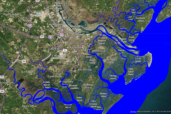
Flood Risk
Flood Risk provides the most current flood mapping data from the Federal Emergency Management Agency (FEMA), including flood zone information, a database of community participation status in the National Flood Insurance Program (NFIP), elevation profiles, and proximity measurements to varying levels of flood risk.
Earth Risk
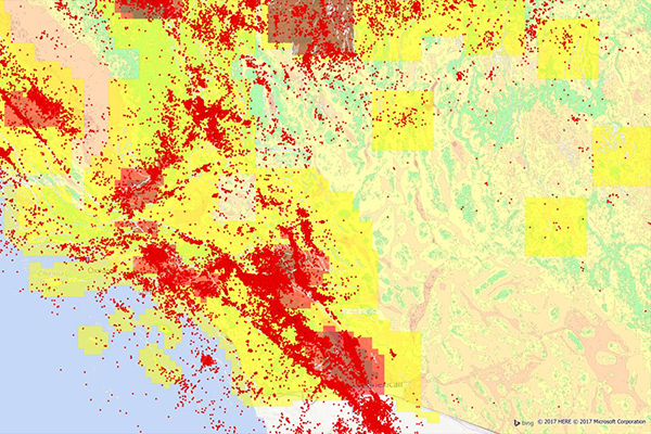
Earth Risk provides nationwide coverage of land-related risks including earthquakes, landslides, lava flows, sinkholes, and hazardous soils to help stakeholders understand risk by geography. Data layers are sourced from USGS, NEIC, Earthquake Hazards Program, and AMLIS.
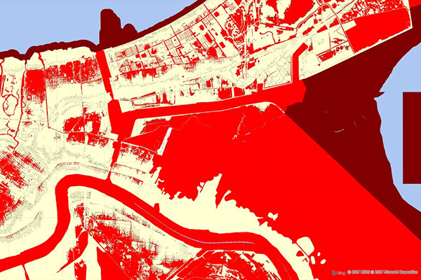
Coastal Risk
Coastal Risk contains information pertinent to shorelines and coastal areas subject to hurricanes, storm surge, flooding, and other natural disasters. It depicts the shape of the shoreline, name of the coastal water, and proximity to the nearest coastline.
GeoVision
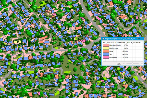
GeoVision provides a nationwide representation of the built environment in Australia. It offers detailed building information including building height, roofing information, overhanging trees, solar panels, and swimming pools, with accuracy and detail for urban, regional, rural, and remote areas.
ZIP Codes and Carrier Routes
The content describes multiple datasets related to USPS ZIP Codes, including Carrier Routes, ZIP Plus 4s, and ZIP Code Boundaries and Centroids. ZIP Plus 4s identify over 60 million deliverable USPS ZIP Plus 4s and correlate with U.S. census block data. ZIP Code Boundaries provide spatial demarcations and include centroids, while Carrier Routes represent areas served by USPS mail carriers, following roads for accuracy.
School Boundaries
School Boundaries provides three layers of geographic information, including school points, school districts, and school attendance zones, for more than 10,000 school districts in the United States. Additional attribute tables accommodate the complexities and variations of school data from state to state and region to region for further analysis.
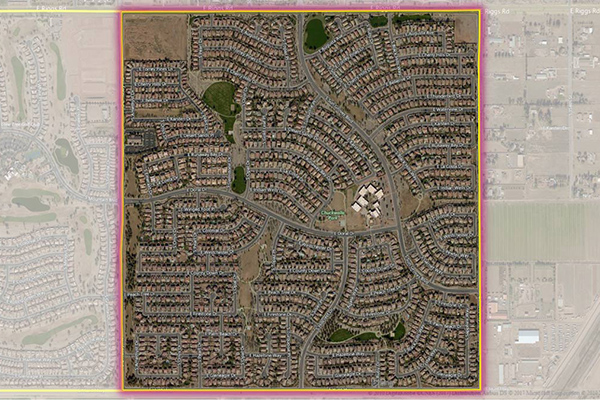
Residential Boundaries
Residential Boundaries provides geographic boundaries, names, and other locational classifications that define the extent and character of residential neighborhoods. Each polygon covers geography that consists of at least 90% residential housing, including homes, condos, and apartment complexes. The acquisition system ensures the most current information is used to define and name a residential area.
Property Fire Risk
Property Fire Risk is a compilation of fire departments and fire stations across the United States featuring proximity measurements and drive times from each physical address. It provides detailed information for over 47,000 fire departments and stations, including location, contact details, county name, type of department, number of associated stations, station number, and daypart specific drive time and distance for the three nearest responding stations within 25 miles.
Parcel Boundaries
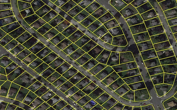
Parcel boundary data helps users map and analyze property characteristics across an area of interest, or conduct sophisticated spatial analysis such as proximity, overlay, and buffer zone operations. It contains polygonal property outlines and features like PreciselyID and Assessor Parcel Numbers for interoperability with property attributes, building footprints, U.S. Census Bureau data, and address genealogy. It is part of the property data enrichment products that work with Property Graph and is available via Data Graph API.
Neighborhood Boundaries
Neighborhood Boundaries identifies and names neighborhoods as experienced by local residents, providing data on population, demographics, culture, and other attributes, along with a hierarchy of precisely validated names and boundaries.
Property Attributes
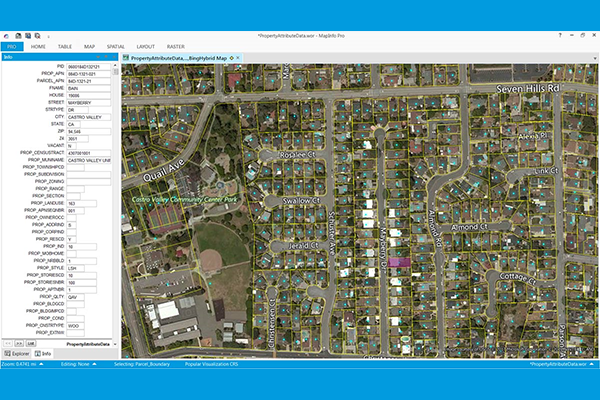
Property Attributes products provide deep insights about a location, offering comprehensive information about property characteristics using data from local tax authorities, Recorder of Deeds, mortgage transactions, and real estate listing services. Coverage includes over 3,140 US counties, with details such as owner and address information, physical property and location data, seller and buyer information (select products), legal description, property site characteristics, internal and external building characteristics, property tax and sale information, mortgage information (select products), and replacement cost value.