Neighborhood Boundaries
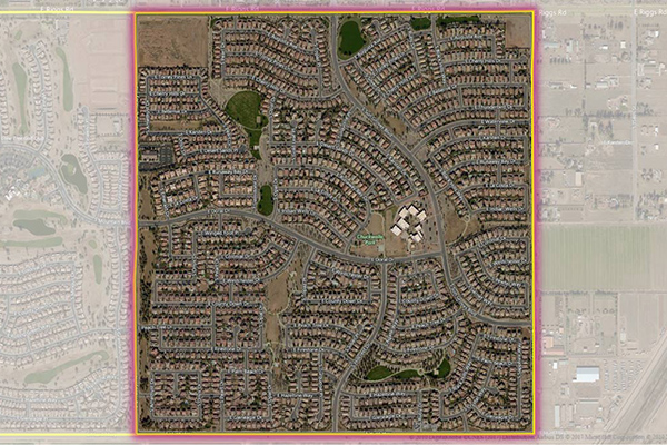
Neighborhood Boundaries identifies and names neighborhoods as experienced by local residents, providing data on population, demographics, culture, and other attributes, along with a hierarchy of precisely validated names and boundaries.
Metro Areas
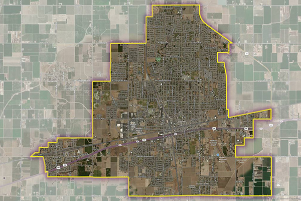
Metro Areas represents over 1,000 major metropolitan areas around the world, including top real estate markets. These areas incorporate satellite cities, towns, and rural areas that are socioeconomically linked to an urban core, typically with a population greater than 50,000 and a density of at least 1,000 people per square mile.
LATAInfo
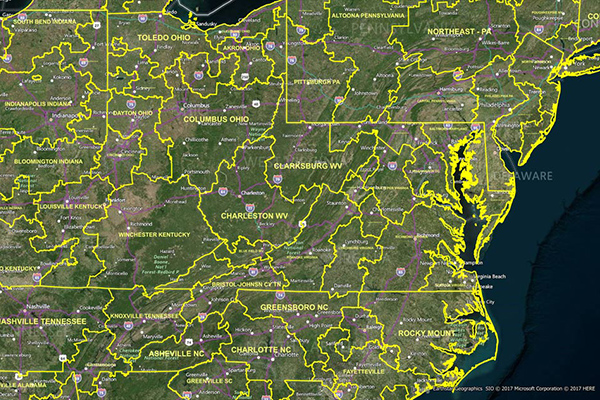
LATAInfo is a map database of Local Access Transport Areas (LATAs) across the United States, used to determine whether a telephone call is carried by a local exchange carrier or a long-distance provider. Each LATA generally contains a single major metropolitan area, with calls within a LATA routed by Local Exchange Carriers (LECs) and calls between different LATAs transported by long-distance carriers.
Property Attributes
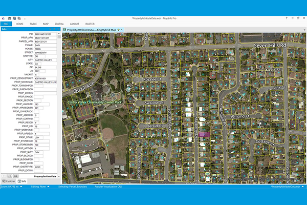
Property Attributes products provide deep insights about a location, offering comprehensive information about property characteristics using data from local tax authorities, Recorder of Deeds, mortgage transactions, and real estate listing services. Coverage includes over 3,140 US counties, with details such as owner and address information, physical property and location data, seller and buyer information (select products), legal description, property site characteristics, internal and external building characteristics, property tax and sale information, mortgage information (select products), and replacement cost value.
Consumer Spend Potential
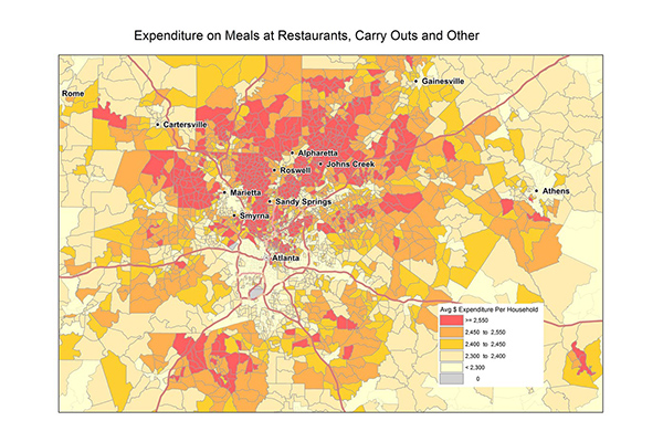
Consumer Spend Potential provides consumer spending data across a broad range of categories. Annual expenditures are calculated using the ratio between disposable income, demographics, and expenditures for products and services derived from household budget surveys from national statistical offices.
Context Demographics
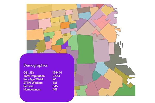
Context Demographics provides U.S. Census and American Community Survey data projected onto Precisely polygons for a deeper understanding of the demographic makeup of specific geographic areas.