World Points of Interest – Premium – Consumer
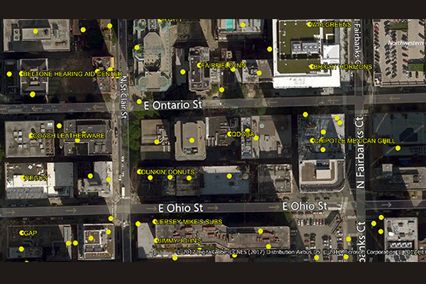
The World Points of Interest Premium Consumer dataset provides location and detailed company information for consumer-focused retail and service businesses, leisure, landmarks, and geographic features in more than 175 countries and territories. It includes a unique identifier, PreciselyID, for each addressable POI to streamline data management and enrichment.
World Time Zone Boundaries
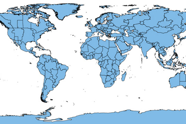
World Time Zone Boundaries provides spatial representation of the world’s lands and waters by time zone, showing each time zone’s deviation in hours from Coordinated Universal Time (UTC) and Daylight Saving Time (DST). Each time zone is divided by country (or parts of countries) and associated with the start and end dates/times of daylight saving time.
Desktop and Enterprise Routing Networks
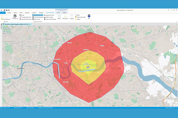
Desktop and Enterprise Routing Networks provide compiled street networks for use with mapping and routing software, compatible with Precisely’s MapInfo Pro and Spectrum software, powering analytics at both desktop and enterprise levels.
PostPoint Professional
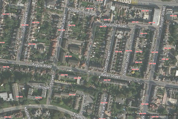
PostPoint Professional provides full postcode coverage and British National Grid references for the United Kingdom, with accuracy to within one meter of a property near the centre of the postcode, including an indicator of each point’s precision.
World Postcode and Administrative Boundaries
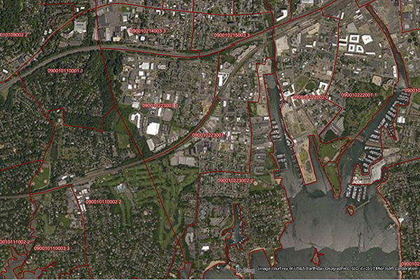
World Postcode and Administrative Boundaries provides comprehensive coverage of global administrative and postcode boundaries, offering six administrative levels for analysis specific to each country, such as township or city boundaries. It includes administrative hierarchy and alternate postal names for the U.S. and Australia, aggregating worldwide postal and administrative boundaries into a single product with a consistent, single table structure format for ease of use.
Neighborhood Boundaries
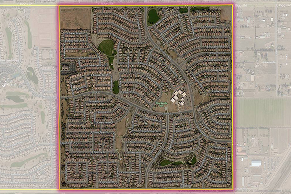
Neighborhood Boundaries identifies and names neighborhoods as experienced by local residents, providing data on population, demographics, culture, and other attributes, along with a hierarchy of precisely validated names and boundaries.
Metro Areas
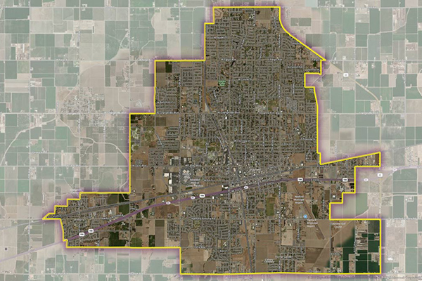
Metro Areas represents over 1,000 major metropolitan areas around the world, including top real estate markets. These areas incorporate satellite cities, towns, and rural areas that are socioeconomically linked to an urban core, typically with a population greater than 50,000 and a density of at least 1,000 people per square mile.
Consumer Spend Potential
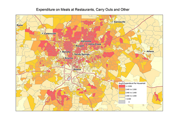
Consumer Spend Potential provides consumer spending data across a broad range of categories. Annual expenditures are calculated using the ratio between disposable income, demographics, and expenditures for products and services derived from household budget surveys from national statistical offices.