ExchangeInfo Plus
ExchangeInfo Plus is an essential tool for visualizing and analyzing the telecommunications landscape and associated infrastructure data to support better business decisions. It is a comprehensive database containing key telecommunications infrastructure data for every wire center in the U.S. and Canada, describing the organization of the local telephone exchange system.
AreaCodeInfo
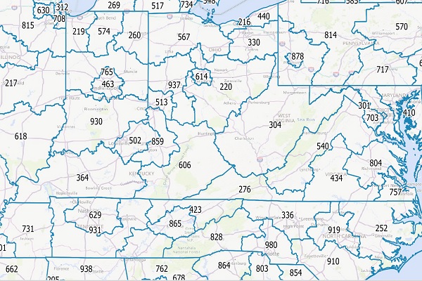
AreaCodeInfo represents delineated boundaries for landline telecommunications across the U.S. and Canada, covering 353 area codes with regular updates for accuracy.
GfK Cresta Zones
Catastrophic Risk Evaluating and Standardizing Target Accumulations (CRESTA) Zones are critical for reinsurance companies when negotiating and conducting an extensive portfolio analysis. These global CRESTA boundaries are widely accepted as standard throughout the insurance industry.
FSA and 6-Digit Postal Codes
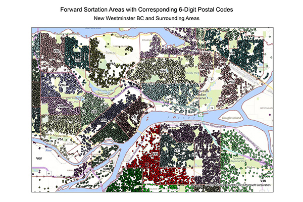
FSA and 6-Digit Postal Codes are available separately or in a bundle. The FSA file contains polygon boundary files and centroids for Canada’s Forward Sortation Areas (FSAs). The 6-Digit Postal Codes file contains over 800,000 postal records and over 4,000 new postal codes, including latitude and longitude coordinates and a single “most representative point” for each postal code in Canada.
World Points of Interest – Premium – Consumer
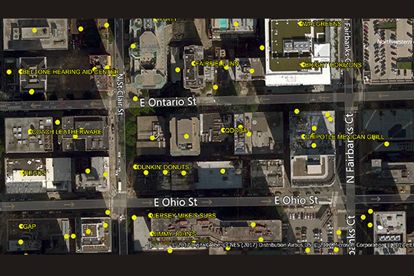
The World Points of Interest Premium Consumer dataset provides location and detailed company information for consumer-focused retail and service businesses, leisure, landmarks, and geographic features in more than 175 countries and territories. It includes a unique identifier, PreciselyID, for each addressable POI to streamline data management and enrichment.
World Time Zone Boundaries
World Time Zone Boundaries provides spatial representation of the world’s lands and waters by time zone, showing each time zone’s deviation in hours from Coordinated Universal Time (UTC) and Daylight Saving Time (DST). Each time zone is divided by country (or parts of countries) and associated with the start and end dates/times of daylight saving time.
Desktop and Enterprise Routing Networks
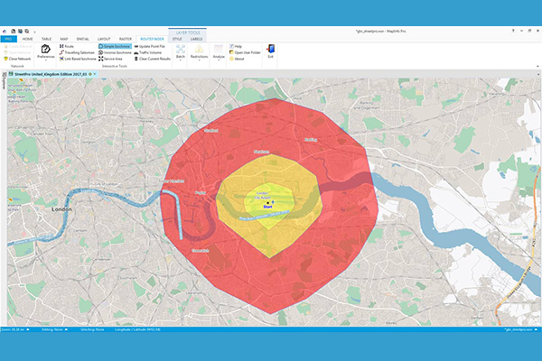
Desktop and Enterprise Routing Networks provide compiled street networks for use with mapping and routing software, compatible with Precisely’s MapInfo Pro and Spectrum software, powering analytics at both desktop and enterprise levels.
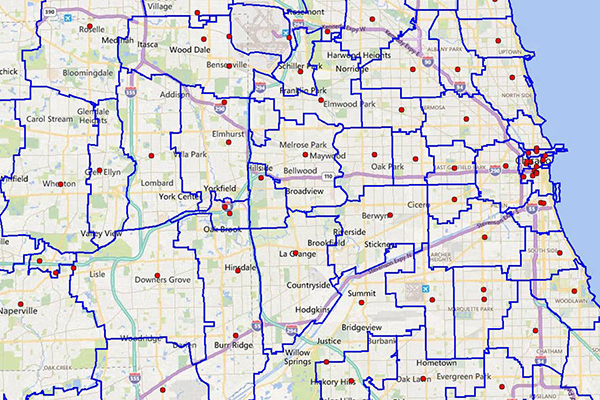
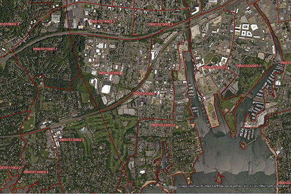
RateCenterInfo
RateCenterInfo provides geographic information about rate centers throughout the United States and Canada, including boundaries and specific information about NPAs and NXXs operating within each rate center. It is used by competitive local exchange carriers (CLECs), cable telephony operators, internet service providers (ISPs), and wireless carriers for determining areas of operation and number assignments.
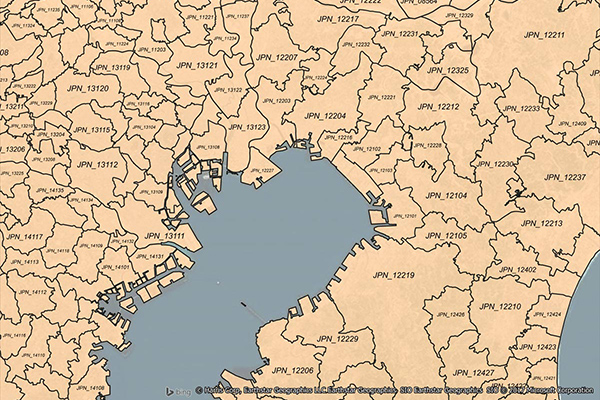
World Postcode and Administrative Boundaries
World Postcode and Administrative Boundaries provides comprehensive coverage of global administrative and postcode boundaries, offering six administrative levels for analysis specific to each country, such as township or city boundaries. It includes administrative hierarchy and alternate postal names for the U.S. and Australia, aggregating worldwide postal and administrative boundaries into a single product with a consistent, single table structure format for ease of use.
Parcel Boundaries
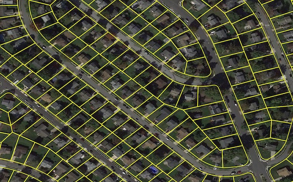
Parcel boundary data helps users map and analyze property characteristics across an area of interest, or conduct sophisticated spatial analysis such as proximity, overlay, and buffer zone operations. It contains polygonal property outlines and features like PreciselyID and Assessor Parcel Numbers for interoperability with property attributes, building footprints, U.S. Census Bureau data, and address genealogy. It is part of the property data enrichment products that work with Property Graph and is available via Data Graph API.
Neighborhood Boundaries
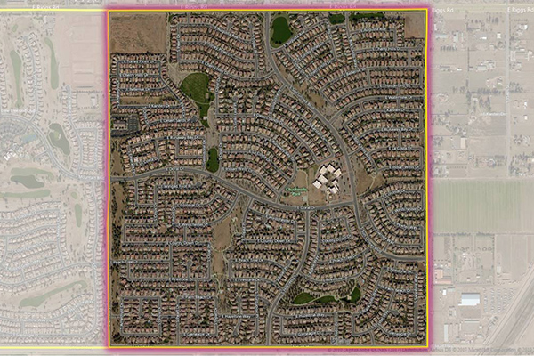
Neighborhood Boundaries identifies and names neighborhoods as experienced by local residents, providing data on population, demographics, culture, and other attributes, along with a hierarchy of precisely validated names and boundaries.
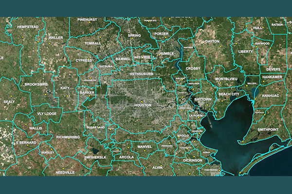
Metro Areas
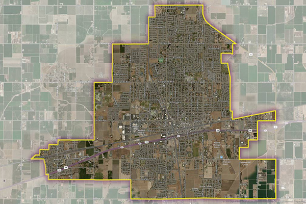
Metro Areas represents over 1,000 major metropolitan areas around the world, including top real estate markets. These areas incorporate satellite cities, towns, and rural areas that are socioeconomically linked to an urban core, typically with a population greater than 50,000 and a density of at least 1,000 people per square mile.