World Points of Interest – Premium
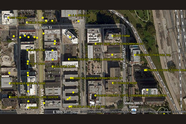
World Points of Interest – Premium provides location and detailed company information for a diverse set of commercial and retail businesses, leisure, landmark, and geographic features in more than 170 countries and territories, covering over 250 million POIs, with more than 27 million in the U.S. It is geocoded using Precisely’s premium geocoding solutions for accuracy and includes a unique PreciselyID for each addressable POI for streamlined data management.
World Boundaries Premium
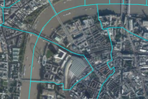
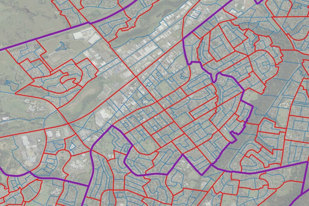
World Boundaries Premium provides comprehensive coverage of global administrative geographies combined with neighborhood, suburb, land use, and postal geographies. Administrative boundaries from multiple sources for over 200 countries and territories are aggregated in a single dataset, with a single file and table structure for ease of integration.
Boundaries allow users to perform a host of geographic and analytic functions, such as visualizing and manipulating data for map representation or linking company data to accurately locate customers and constituents. They also support a host of forward and reverse geocoding functions, geo-tagging, and geofencing.
The product contains two versions. The geo-tagged version provides all boundaries as one flat boundary file where each polygon represents a unique set of administrative values to the most granular level. The display version provides separate layers for each administrative level.
Global Demographics
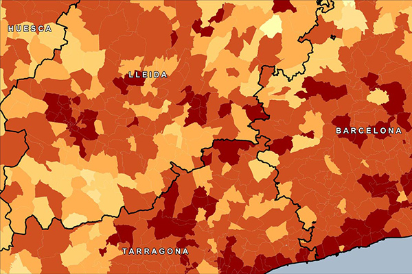
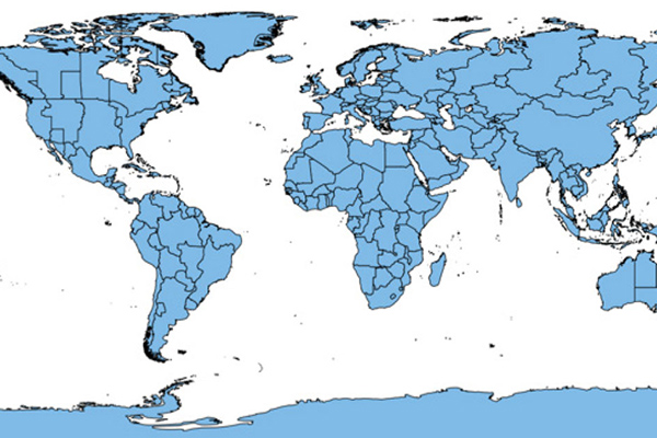
Global Demographics provides comprehensive coverage of global demographics such as population, age, sex, race, and disposable income as they relate to local administrative and/or postal geographies, extending to 140 countries globally, offering information on 6.7 billion consumers.
CrimeIndex & Context CrimeIndex
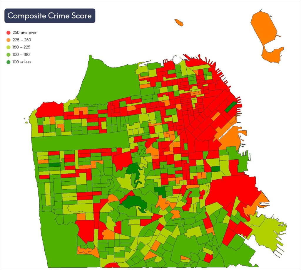
CrimeIndex measures the likelihood of where crime may occur and provides crime risk scores at the granular block group level. Context Crime Index combines Crime Index and Neighborhood Boundaries to provide a comprehensive view of crime data for a neighborhood or local region.
ABS Boundary Pack
The ABS Boundary Pack provides a complete set of Australian geographic boundaries applicable to the Census of Population and Housing as well as other data from the Australian Bureau of Statistics.
World Points of Interest – Premium – Consumer
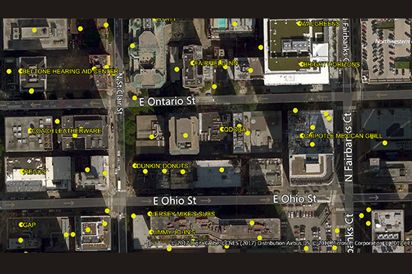
The World Points of Interest Premium Consumer dataset provides location and detailed company information for consumer-focused retail and service businesses, leisure, landmarks, and geographic features in more than 175 countries and territories. It includes a unique identifier, PreciselyID, for each addressable POI to streamline data management and enrichment.
World Time Zone Boundaries
World Time Zone Boundaries provides spatial representation of the world’s lands and waters by time zone, showing each time zone’s deviation in hours from Coordinated Universal Time (UTC) and Daylight Saving Time (DST). Each time zone is divided by country (or parts of countries) and associated with the start and end dates/times of daylight saving time.
Postcode Boundaries Australia
Postcode Boundaries Australia provides a geographic representation of postcode boundaries for the entire country, built in a nationwide parent-child hierarchy from suburb and locality boundaries, with no gaps or overlaps.
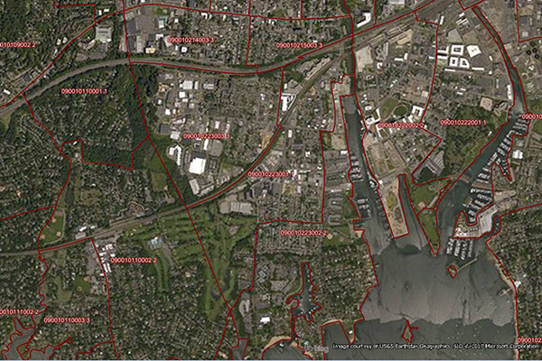
Neighborhood Boundaries
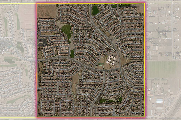
Neighborhood Boundaries identifies and names neighborhoods as experienced by local residents, providing data on population, demographics, culture, and other attributes, along with a hierarchy of precisely validated names and boundaries.
Metro Areas
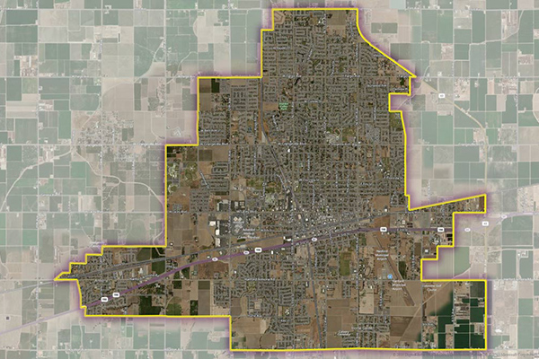
Metro Areas represents over 1,000 major metropolitan areas around the world, including top real estate markets. These areas incorporate satellite cities, towns, and rural areas that are socioeconomically linked to an urban core, typically with a population greater than 50,000 and a density of at least 1,000 people per square mile.