StreetPro™ Discover

StreetPro™ Discover makes it easy to surface and understand street segment data. Designed for AI, it transforms street segments into semantically rich, human-readable data objects, which enables you to ask LLMs questions like “Which streets in this suburb have high traffic exposure?” and immediately get the information you need.
StreetPro Navigation Premium
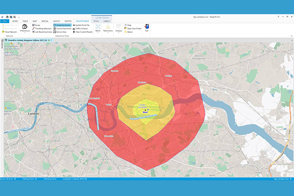
StreetPro Navigation Premium enhances StreetPro Display by enabling precise and efficient route calculation between points on a road network, considering estimated travel speed and vehicle restrictions. It includes all features of StreetPro Display plus address, turn restrictions, and speed information, allowing various geographic and spatial functions not available with other online basemap providers. It features a single connected road network with average speed profiles for time of day and height, width, and weight restrictions. Scale 1:10,000
StreetPro 2500
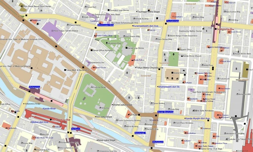
StreetPro 2500 contains map information, including roads and railways, for all of Japan. Detailed building shape outlines are provided for urban areas and their satellite regions, making it possible to determine the precise location of each customer.
StreetPro Display
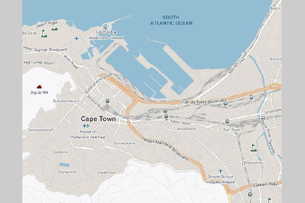
StreetPro Display is a fully attributed vector GIS dataset containing streets, administrative areas, gazetteer, transport, land use, and points of interest data. It is an attributed, interactive dataset for geographic and spatial functions, built using data from geocoding software, and can be delivered with MapInfo Routefinder Networks for desktop geocoding, backdrop mapping, attributes, and context for drivetime and routing analysis. It provides robust street-level data for mapping, analysis, routing, and geocoding.
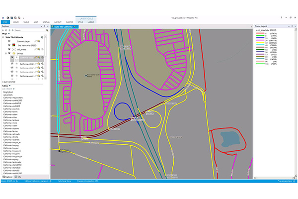
StreetPro Traffic
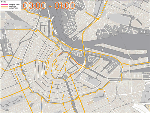
StreetPro Traffic provides information about relative traffic volumes on the StreetPro network, using anonymous feeds from billions of positioning devices within vehicles to offer speed, time, and direction of travel information. It provides aggregate counts of probe devices on road segments, aggregated as annual averages per direction of travel by day of week and hour of day, including additional aggregations for total average weekly, weekday, and weekend probe counts by hour of the day.
Desktop and Enterprise Routing Networks
Desktop and Enterprise Routing Networks provide compiled street networks for use with mapping and routing software, compatible with Precisely’s MapInfo Pro and Spectrum software, powering analytics at both desktop and enterprise levels.