Address Fabric™
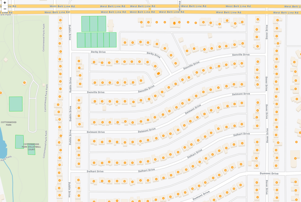
The Address Fabric™ data set is a current and comprehensive list of all known addresses in the United States, Canada, the United Kingdom, Australia, New Zealand and France. Each record is pre-geocoded with precise latitude and longitude, including non-deliverable physical locations, and is delivered in an easy-to-use flat file format for database and analytics integration. Records include street address, coordinate location, census information, property details, and parent/child relationships for primary and secondary addresses. Each record is assigned a unique PreciselyID for data management and enrichment with additional contextual information.
Property Graph
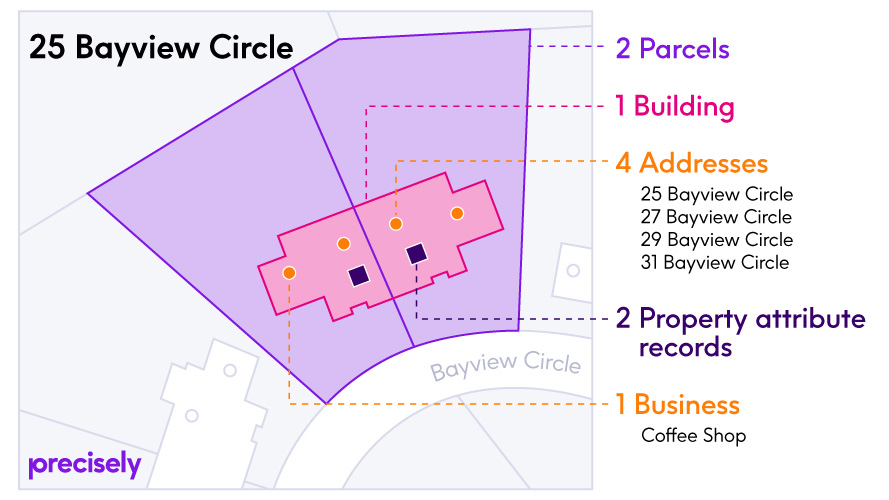
Property Graph simplifies relationships between two or more Precisely data enrichment products, making it easy to join additional datasets for data enrichment and providing a connected view of properties that can be directly integrated with business processes. It is designed for use with Address Fabric, Parcel Boundaries, Buildings, Property Attributes, and Points of Interest.
Buildings
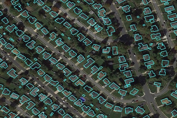
Precisely Buildings provides detailed footprints enriched with characteristics to provide property insights for insurers, telecoms, and location-based analytics. It includes unique identifiers, property essentials (FIPS, census block, address details), building basics (type and usage), location, and elevation (lowest, highest, and centroid). It enables interoperability and enrichment with other features like parcel boundaries and property characteristics, and is available via Data Graph API.
GeoVision
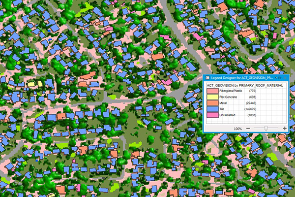
GeoVision provides a nationwide representation of the built environment in Australia. It offers detailed building information including building height, roofing information, overhanging trees, solar panels, and swimming pools, with accuracy and detail for urban, regional, rural, and remote areas.
Parcel Boundaries
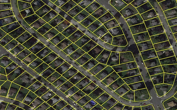
Parcel boundary data helps users map and analyze property characteristics across an area of interest, or conduct sophisticated spatial analysis such as proximity, overlay, and buffer zone operations. It contains polygonal property outlines and features like PreciselyID and Assessor Parcel Numbers for interoperability with property attributes, building footprints, U.S. Census Bureau data, and address genealogy. It is part of the property data enrichment products that work with Property Graph and is available via Data Graph API.
Premium Address Points
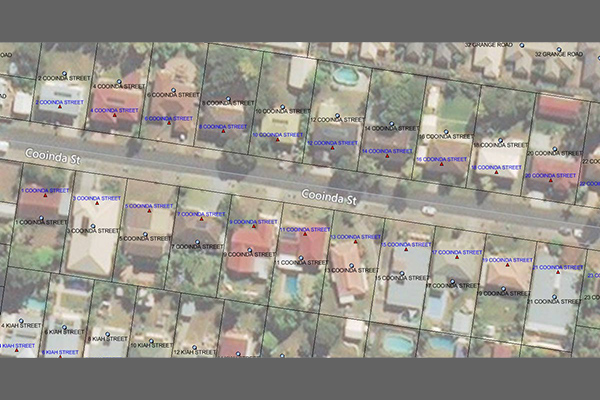
Premium Address Points provides comprehensive, easy-to-use, and nationally consistent location-enabled address data for Australia. It includes a complete data structure and a simplified data model for mapping, analytics, and routing, with enhanced geocoding options and linkages to land parcels, postcodes, localities, and statistical boundaries.
Property Attributes
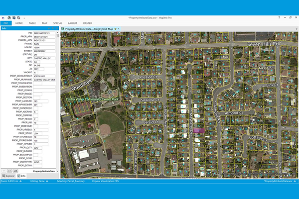
Property Attributes products provide deep insights about a location, offering comprehensive information about property characteristics using data from local tax authorities, Recorder of Deeds, mortgage transactions, and real estate listing services. Coverage includes over 3,140 US counties, with details such as owner and address information, physical property and location data, seller and buyer information (select products), legal description, property site characteristics, internal and external building characteristics, property tax and sale information, mortgage information (select products), and replacement cost value.