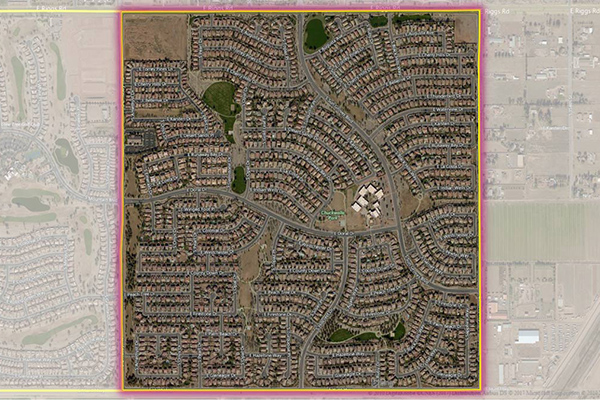
World Postcode and Administrative Boundaries
World Postcode and Administrative Boundaries provides comprehensive coverage of global administrative and postcode boundaries, offering six administrative levels for analysis specific to each country, such as township or city boundaries. It includes administrative hierarchy and alternate postal names for the U.S. and Australia, aggregating worldwide postal and administrative boundaries into a single product with a consistent, single table structure format for ease of use.
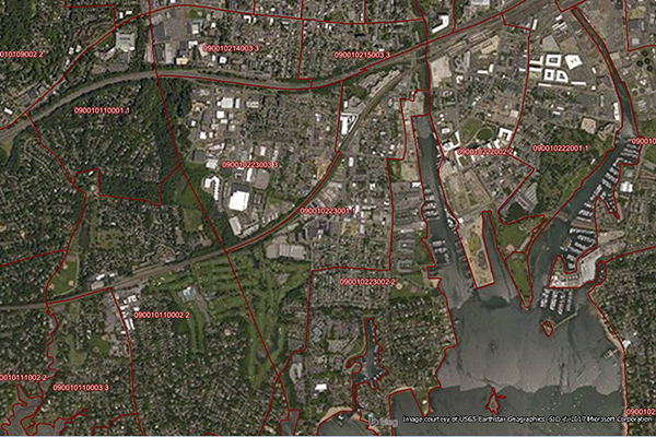
Neighborhood Boundaries
Neighborhood Boundaries identifies and names neighborhoods as experienced by local residents, providing data on population, demographics, culture, and other attributes, along with a hierarchy of precisely validated names and boundaries.
Metro Areas
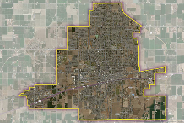
Metro Areas represents over 1,000 major metropolitan areas around the world, including top real estate markets. These areas incorporate satellite cities, towns, and rural areas that are socioeconomically linked to an urban core, typically with a population greater than 50,000 and a density of at least 1,000 people per square mile.
Consumer Spend Potential
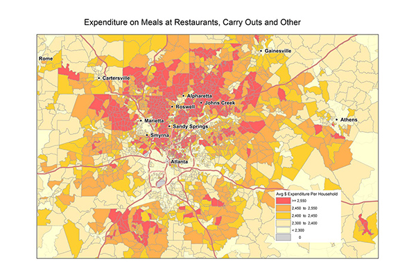
Consumer Spend Potential provides consumer spending data across a broad range of categories. Annual expenditures are calculated using the ratio between disposable income, demographics, and expenditures for products and services derived from household budget surveys from national statistical offices.