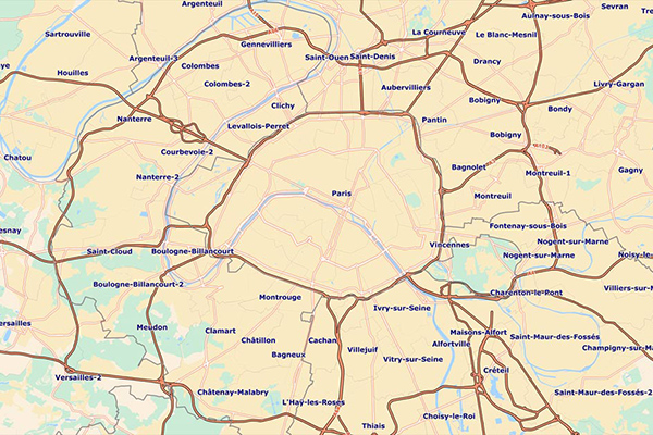
GfK Cresta Zones
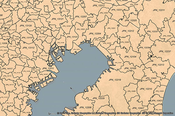
Catastrophic Risk Evaluating and Standardizing Target Accumulations (CRESTA) Zones are critical for reinsurance companies when negotiating and conducting an extensive portfolio analysis. These global CRESTA boundaries are widely accepted as standard throughout the insurance industry.
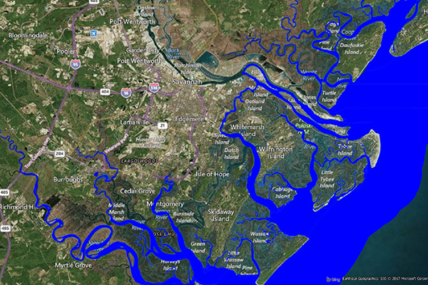
Flood Risk
Flood Risk provides the most current flood mapping data from the Federal Emergency Management Agency (FEMA), including flood zone information, a database of community participation status in the National Flood Insurance Program (NFIP), elevation profiles, and proximity measurements to varying levels of flood risk.
Earth Risk
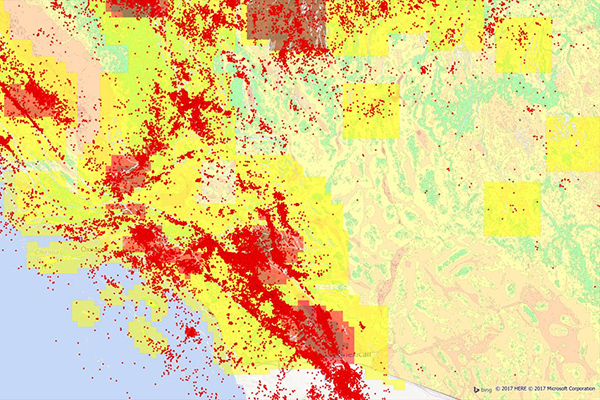
Earth Risk provides nationwide coverage of land-related risks including earthquakes, landslides, lava flows, sinkholes, and hazardous soils to help stakeholders understand risk by geography. Data layers are sourced from USGS, NEIC, Earthquake Hazards Program, and AMLIS.
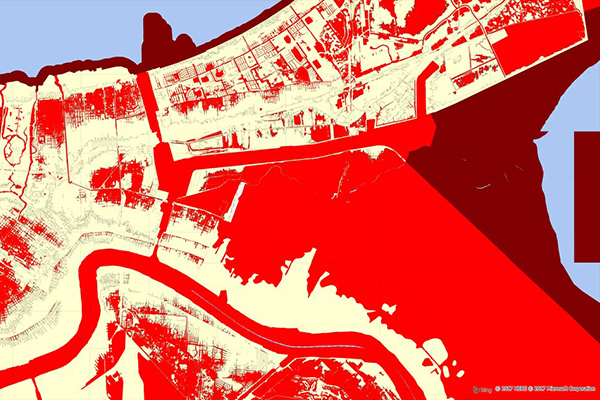
Coastal Risk
Coastal Risk contains information pertinent to shorelines and coastal areas subject to hurricanes, storm surge, flooding, and other natural disasters. It depicts the shape of the shoreline, name of the coastal water, and proximity to the nearest coastline.
Francièmes Boundaries
Francièmes Boundaries is a valuable complement to Neighborhood, Residential, and other boundary datasets to help visualize where census polygons overlap with other boundaries in France. Boundary layers include Cantons, Communes, IRIS, and Postaux.
Airports
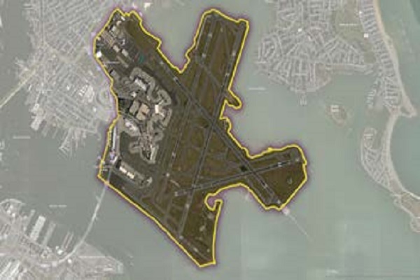
The Airports dataset provides precise delineation of public and private airport facilities, including terminals, hangars, maintenance buildings, runways, helipads, tarmacs, parking areas, and satellite lots, using authoritative sources such as the Federal Aviation Administration (FAA) and the National Flight Data Center (NFDC), with continual updates to ensure accuracy and currency.
School Boundaries
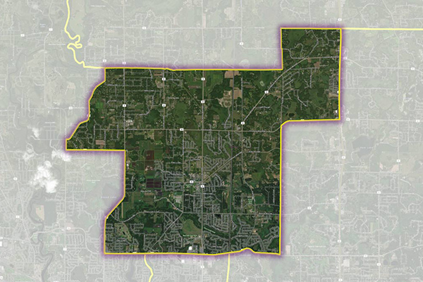
School Boundaries provides three layers of geographic information, including school points, school districts, and school attendance zones, for more than 10,000 school districts in the United States. Additional attribute tables accommodate the complexities and variations of school data from state to state and region to region for further analysis.
Desktop and Enterprise Routing Networks
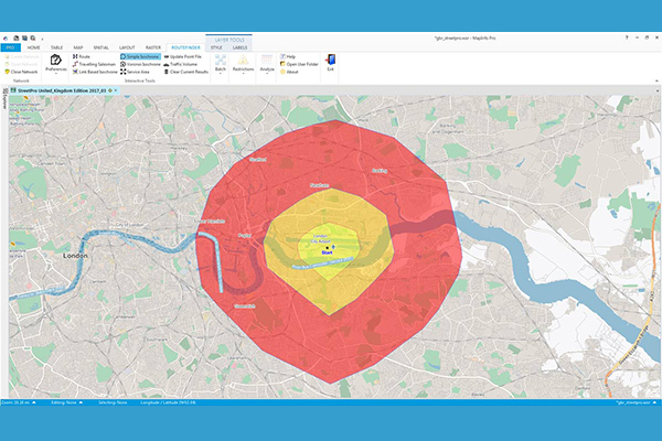
Desktop and Enterprise Routing Networks provide compiled street networks for use with mapping and routing software, compatible with Precisely’s MapInfo Pro and Spectrum software, powering analytics at both desktop and enterprise levels.
Property Fire Risk
Property Fire Risk is a compilation of fire departments and fire stations across the United States featuring proximity measurements and drive times from each physical address. It provides detailed information for over 47,000 fire departments and stations, including location, contact details, county name, type of department, number of associated stations, station number, and daypart specific drive time and distance for the three nearest responding stations within 25 miles.