Wildfire Risk
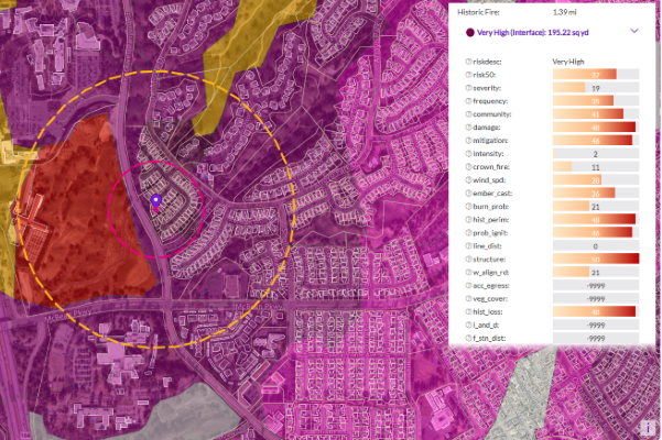
Wildfire Risk is a cutting-edge database that helps assess wildfire hazards and risks. It uses nationally recognized fire behavior methods to predict severity, including flame length, intensity, and ember generation. Inputs include fuel moisture, historic weather, topography, landscape mitigation, and other key factors. The model also factors in past fires, probability, fuel type, and community attributes like neighborhood vegetation, creating a realistic view of severity and vulnerability.
Using these factors, the model creates unique fireshed polygons across the United States, each with its own risk score. Plus, it provides detailed information at the address level, including proximity measurements to help understand the specific risk to individual structures.
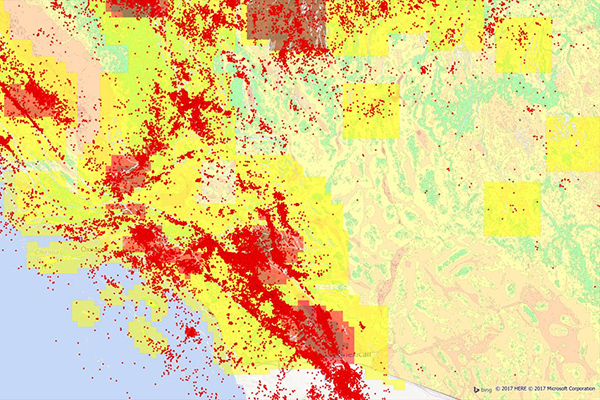
Wildfire Risk Extreme
Wildfire Risk Extreme is a companion to Wildfire Risk, designed to help you understand the impact of severe wildfire conditions across the U.S. It takes into account crucial factors like fuel moisture, temperature, humidity, and wind dryness and directions, all key factors in creating extreme fire weather. These factors are essential in predicting fast-spreading wildfires that can ignite urban fires, also known as urban conflagrations.
This tool provides a comprehensive wildfire hazard and risk assessment across the country, detailing extreme burning conditions and predicting where urban conflagration can occur. It delivers actionable information for any location in the U.S. under extreme weather conditions.
Historical Weather Risk

Historical Weather Risk contains comprehensive historical records of hazardous weather data including hurricane, hail, tornado, and windstorm events, with details on date, severity, and additional attribution like magnitudes, fatalities, injuries, crop/property damages, and meteorological details. Wind events use the Beaufort Wind scale, tornadoes use the Fujita-Pearson scale, hail events use the TORRO intensity scale, and hurricane events reference the Saffir-Simpson scale.
GfK Cresta Zones
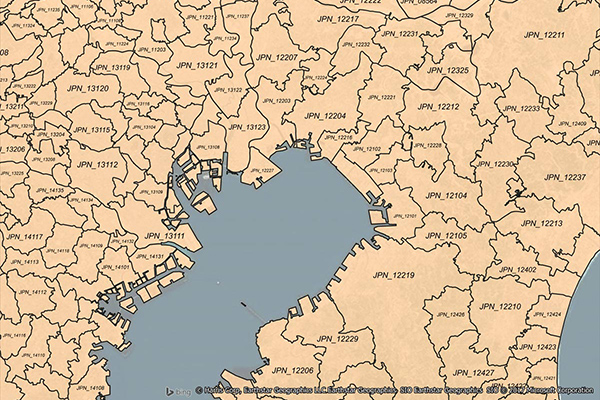
Catastrophic Risk Evaluating and Standardizing Target Accumulations (CRESTA) Zones are critical for reinsurance companies when negotiating and conducting an extensive portfolio analysis. These global CRESTA boundaries are widely accepted as standard throughout the insurance industry.
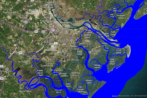
Flood Risk
Flood Risk provides the most current flood mapping data from the Federal Emergency Management Agency (FEMA), including flood zone information, a database of community participation status in the National Flood Insurance Program (NFIP), elevation profiles, and proximity measurements to varying levels of flood risk.
Earth Risk
Earth Risk provides nationwide coverage of land-related risks including earthquakes, landslides, lava flows, sinkholes, and hazardous soils to help stakeholders understand risk by geography. Data layers are sourced from USGS, NEIC, Earthquake Hazards Program, and AMLIS.
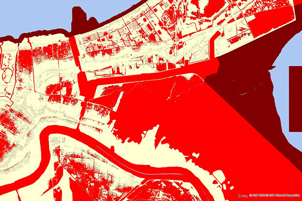
Coastal Risk
Coastal Risk contains information pertinent to shorelines and coastal areas subject to hurricanes, storm surge, flooding, and other natural disasters. It depicts the shape of the shoreline, name of the coastal water, and proximity to the nearest coastline.
Property Fire Risk
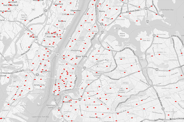
Property Fire Risk is a compilation of fire departments and fire stations across the United States featuring proximity measurements and drive times from each physical address. It provides detailed information for over 47,000 fire departments and stations, including location, contact details, county name, type of department, number of associated stations, station number, and daypart specific drive time and distance for the three nearest responding stations within 25 miles.