CallingAreaInfo
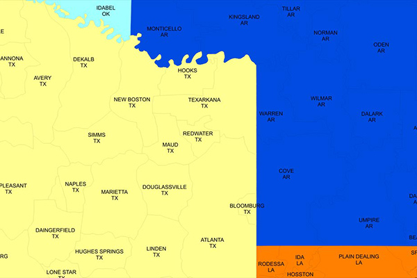
CallingAreaInfo represents the local calling plans available to business and residential customers when calling from or into a given location. It includes details on number plan areas (NPAs), the first three digits of the phone number after the area code (NXXs), and associated rates. It offers advanced data and geographic visualization capabilities to identify, analyze, and understand local calling plans and rate structures for specific geographic regions.
AreaCodeInfo
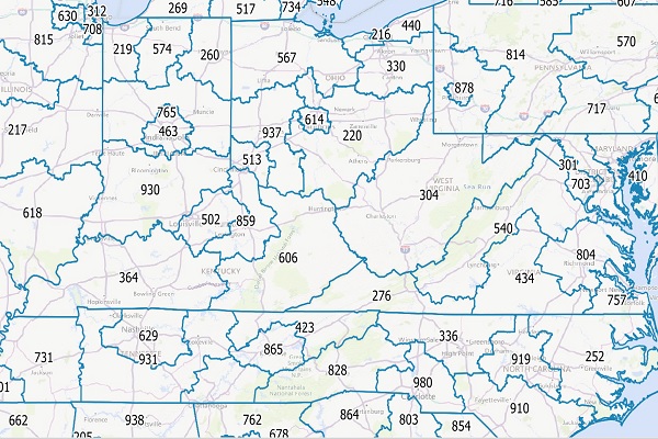
AreaCodeInfo represents delineated boundaries for landline telecommunications across the U.S. and Canada, covering 353 area codes with regular updates for accuracy.
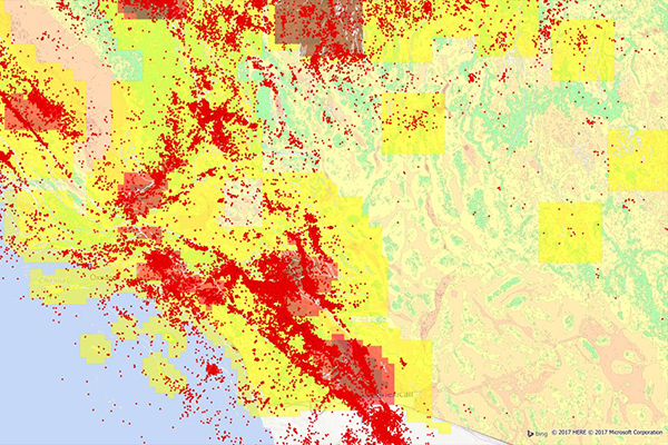
Historical Weather Risk

Historical Weather Risk contains comprehensive historical records of hazardous weather data including hurricane, hail, tornado, and windstorm events, with details on date, severity, and additional attribution like magnitudes, fatalities, injuries, crop/property damages, and meteorological details. Wind events use the Beaufort Wind scale, tornadoes use the Fujita-Pearson scale, hail events use the TORRO intensity scale, and hurricane events reference the Saffir-Simpson scale.
GfK Cresta Zones
Catastrophic Risk Evaluating and Standardizing Target Accumulations (CRESTA) Zones are critical for reinsurance companies when negotiating and conducting an extensive portfolio analysis. These global CRESTA boundaries are widely accepted as standard throughout the insurance industry.
Flood Risk
Flood Risk provides the most current flood mapping data from the Federal Emergency Management Agency (FEMA), including flood zone information, a database of community participation status in the National Flood Insurance Program (NFIP), elevation profiles, and proximity measurements to varying levels of flood risk.
Earth Risk
Earth Risk provides nationwide coverage of land-related risks including earthquakes, landslides, lava flows, sinkholes, and hazardous soils to help stakeholders understand risk by geography. Data layers are sourced from USGS, NEIC, Earthquake Hazards Program, and AMLIS.
Coastal Risk
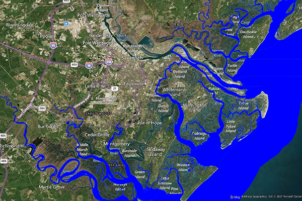
Coastal Risk contains information pertinent to shorelines and coastal areas subject to hurricanes, storm surge, flooding, and other natural disasters. It depicts the shape of the shoreline, name of the coastal water, and proximity to the nearest coastline.
Designated Market Areas (DMA®)
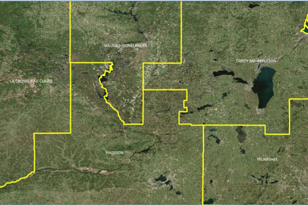
Designated Market Area (DMA®) definitions are licensed from Nielsen and delineate the geographic boundaries of over 200 distinctive regions to assess TV penetration of audience counts within the U.S. for a viewership year. DMA® is a registered service mark of the Nielsen company. Used under License. The DMA® code is created using Nielsen’s assignment of a 3-digit number for identification and processing purposes.
Core Based Statistical Areas (CBSA)
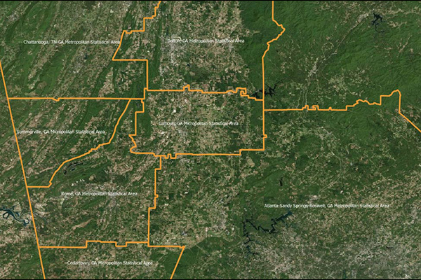
Core Based Statistical Areas (CBSAs) provides the geographic boundaries and point information for more than 900 statistical regions defined by the U.S. Office of Management and Budget, representing highly populated core areas and adjacent communities with high economic and social integration.
Congressional Districts
Congressional Districts depicts the physical extent and demographic profile of each district of the U.S. Congress. The dataset includes population estimates, contact information, and party affiliation for each current congressional representative at the time, along with previous congressional districts for historical comparison.
Community and Market Link
Community and Market Link products provide a flat text file of addresses associated with boundaries, created using location intelligence software to perform point-in-polygon operations. They enable quick and simple lookups to understand relationships between addresses and boundaries, offering insights into customer activity, school districts, and township administration, and can connect with other datasets using the PreciselyID unique address identifier.
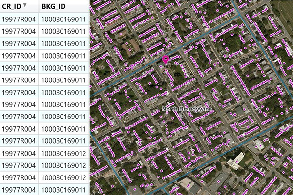
Airports
The Airports dataset provides precise delineation of public and private airport facilities, including terminals, hangars, maintenance buildings, runways, helipads, tarmacs, parking areas, and satellite lots, using authoritative sources such as the Federal Aviation Administration (FAA) and the National Flight Data Center (NFDC), with continual updates to ensure accuracy and currency.