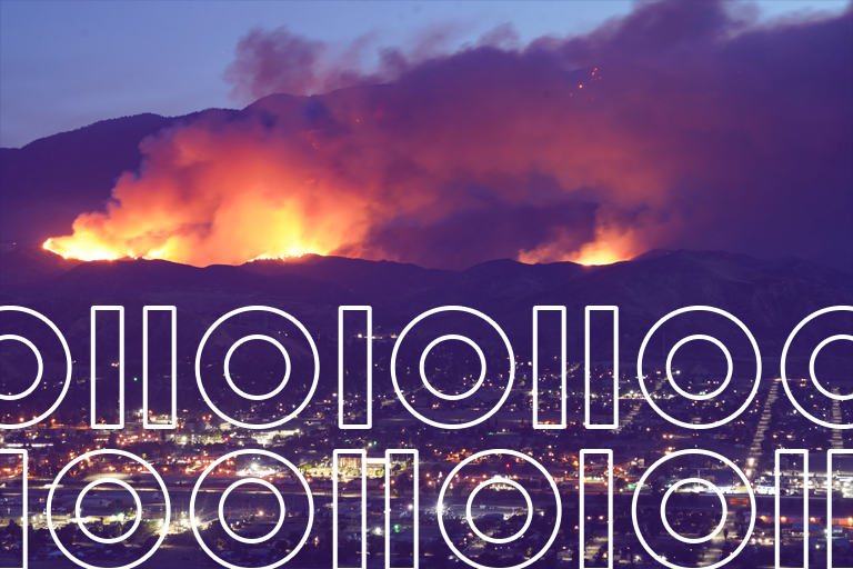
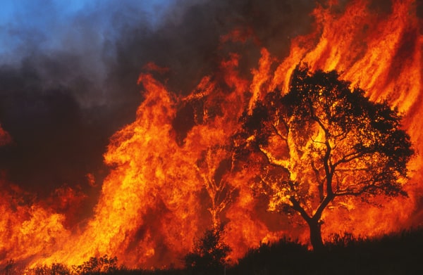
The world has witnessed a catastrophic series of disasters in recent years stemming from wildfires, displacing families from their homes and devastating entire communities. In many cases, the impact on local ecosystems has also been overwhelming. In short, wildfires have profound humanitarian and environmental costs, not to mention the financial impact.
The United States alone has experienced an average of around 70,000 wildfires per year since the 1980s, damaging 206 million acres of land and prompting government agencies to spend $41 billion on firefighting efforts.
The problem is getting worse, but there is reason for hope. With the help of advanced geospatial analytics, we are in a better position than ever before to evaluate a wildfire risk model to prevent losses, and minimize the damaging impact of wildfires when they do occur.
Geospatial Analytics and Wildfire Risk
As analytics technology becomes more and more powerful, wildfire risk models are growing more sophisticated. Experts are gaining new insights into the complex and seemingly unpredictable behavior of wildfires. As they do so, their ability to forecast that behavior has improved dramatically. That is giving researchers, planners, and firefighters an edge, improving the capacity to save lives, safeguard property, and preserve our natural environment.
There is one very important caveat, however. Wildfire risk models are only as good as the underlying data on which they are built.
Most experts use publicly available data produced collaboratively by the US Forest Service and the US Department of the Interior. That program is called LANDFIRE, and although it provides a very good starting point for wildfire modeling, it has its distinct limitations.
Most notably, LANDFIRE is intended to provide a coarse-grained view of wildfire risk factors. As such, it fills an essential need for experts engaged in strategic planning at a national or regional level, tactical planning for large sub-regional areas, and general planning by Fire Management Units (FMUs).
LANDFIRE was not designed for the kind of fine-grained analysis required by insurance underwriters. For these applications, Precisely offers our Wildfire Risk dataset. It provides details that LANDFIRE simply was never intended to deliver. In communities with complex vegetation patterns, structures, and other features that impact the combustion and spread of wildfires, for example, highly detailed geospatial datasets are invaluable.
Read our eBook
The Crucial Role of Wildland Fire Fuels and Wildfire Risk Models
Over the past decade, our world has witnessed a catastrophic surge in losses stemming from the devastating wrath of wildfires, one that demands our urgent attention and innovative solutions. Read our eBook to learn more.
Making the Most of Wildfire Risk Data
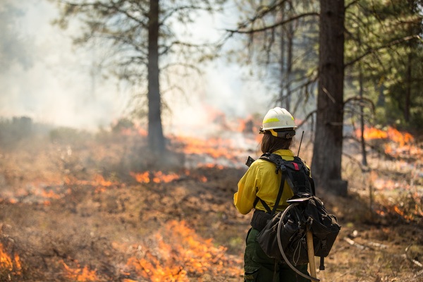
In the hands of a fire behavior analyst (FBAN), detailed geospatial data sets can reveal a wealth of information about wildfire risk and potential mitigation measures. FBANs are certified fire behavior scientists, but they also have extensive practical experience in the field. That gives them a distinct edge when it comes to interpreting how the LANDFIRE data can be used to predict the effects of wildfires. They also understand LANDFIRE data’s limitations.
Consider how the presence of wildfire fuel impacts spread. LANDFIRE includes nine distinct models for predicting wildfire behavior where grass is the primary fuel. Those models consider factors such as the climate, the height of the grass, and the amount.
The predictions generated by those various models can vary considerably. What’s missing is detailed information about the types of grass that are prevalent in different areas and the relative combustibility of those fuels under drought conditions.
The LANDFIRE datasets are not updated annually, so they’re actually missing many of the factors that impact wildfire behavior such as the prevalence of disease and insect damage to vegetation, current drought conditions, reduction of fuels resulting from recent fires, and so on.
Armed with this kind of fine-grained information, experts are beginning to develop an edge in the fight against wildfire damage. Interpretation is essential. Precisely is helping to equip experts with the tools they need to properly interpret the data, improving their ability to predict wildfire behavior, save lives, and preserve both property and ecosystems.
Wildfire Models and the Insurance Industry
Insurance carriers compete largely on their ability to accurately predict and price risk. As a tool to improve underwriting, sophisticated wildfire risk datasets provide an important foundation for success.
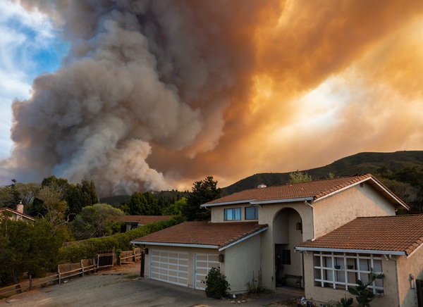
Insurers also benefit by predicting potential damage. By warning policyholders of an impending disaster, for example, they can often save lives and property. They can suggest proactive measures for policyholders to reduce risk, such as clearing combustible vegetation that could elevate the hazards associated with a nearby wildfire. In doing so, homeowners can potentially save their houses from an otherwise devastating natural disaster. Such measures can also help property owners potentially reduce their insurance premiums.
A wildfire risk model can also help insurance carriers act faster in communities with a history of fire. By pre-positioning adjusters and proactively reaching out to policyholders in high-risk zones, insurers can help their customers be prepared and have what they need to be safe and get back on their feet quickly. That kind of service excellence goes a long way toward winning long-term loyalty and a positive reputation in the insurance marketplace.
Finally, fine-grained analysis of natural disasters, including wildfires, offers a view of the likely geographical distribution of losses. That, in turn, can reveal potential cases of fraud which may merit further investigation and follow-up.
FBANs and other wildfire experts have access to better tools and data than ever before. By bringing together the right people, technology, and data, we have a very real opportunity today to reduce the human devastation, financial costs, and negative ecological impact of wildfires.
Want to learn more about how Precisely’s best-in-class geospatial data sets and wildfire risk model tools can help your organization contribute to the fight against wildfire devastation? Over the past decade, our world has witnessed a catastrophic surge in losses stemming from the devastating wrath of wildfires, one that demands our urgent attention and innovative solutions. Read our eBook to learn more – The Crucial Role of Wildland Fire Fuels and Wildfire Risk Models.