Mapping technology and the insights derived from location intelligence are helping to alert and allay fears during this time of the coronavirus. Maps are helping to inform the public about the proximity and spread of COVID-19 without prejudice and hype.
Location intelligence and mapping tools are also being used to provide insight into where future outbreaks may occur. One example is the fever map by smart thermometer company, Kinsa. Additionally, New Jersey officials have been using location data from the state’s symptom self-assessment tool to identify potential hot spots and prepare local healthcare providers.
So, let’s look at some of the other resources to track the spread of COVID-19.
COVID-19 global maps
One global resource that many other websites have been citing during the pandemic is from Johns Hopkins University Center for Systems Science and Engineering (CSSE). Their site provides an interactive map with up-to-date totals for confirmed and active cases at the country level, as well as views by province/state and county levels.
- The CDC also has a global map as well, though it is not an interactive map.
- Bloomberg News’ geospatial team is doing an excellent job of showing the distribution of the spread globally. Follow Bobby Shackleton on LinkedIn as he is publishing maps for Bloomberg daily. More analysis from Bloomberg (March 23)
- The World Health Organization’s (WHO) interactive map is also tracking the outbreak country by country.
- Google has a basic global map of COVID-19 cases.
- HealthMap.Org, supported by a consortium of hospitals, including Harvard, Boston Children’s Hospital and Northeastern University, is publishing a global map by city.
- Bing Maps has published their global map.
- The University of Virginia has published a global map with an animated time-line sequence showing the spread of the virus daily since late January.
- Transmission Map by Nextstrain.org. Interesting map showing how COVID-19 was transmitted throughout the world.
- Omnisci’s global map and dashboard, with interesting data on mortality and recovery rates.
- Data from the European Centre for Disease Prevention and Control.
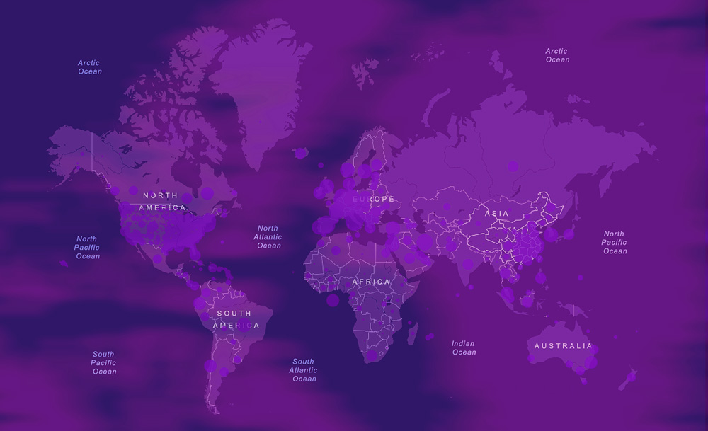
- The Singapore Government with support from Upcode and Neo4j, used graph technology to map the transmission and source of the virus in country. (See graphic at top)
Country by country
- UK: Maps by local authority.
- Aljazeera has published maps and news of Middle Eastern countries with COVID-19
- Spain: The website presents maps of both the spread of the virus plus hospital ICU capacity.
- Israel posted their map by individual locations of impacted (in Hebrew); unfortunately the version in English does not appear to show the locations.
- The Netherlands maps by municipality.
- Turkey: courtesy of Basarsoft – maps of certain areas of the country.
- Charts, graphs and maps of the virus outbreak in both the U.S. and Canada by 1point3acres.com
White paper
Location Intelligence: The Data-Driven Paradigm Shift
Learn how you can you can democratize location intelligence to realize data-driven business insights. Read Location Intelligence: The Data-Driven Paradigm Shift.
Media resources
- New York Times bubble map of COVID-19 is city by city, which notes state and local health agencies, hospitals, as well as the CDC as sources.
- New York Times also published an article showing, with maps, how the coronavirus spread from Wuhan to the rest of China and beyond.
- Washington Post has both U.S. and global maps that are current but use Johns Hopkins data.
- Seattle Times has a page with a dashboard of data by county.
- Politico has a basic map but the state-by-state charts of COVID-19 testing are useful.
US maps
- Social Distancing Scorecard. How are states abiding by social distancing guidelines…by county.
- Map by state showing the last date when states can issue the shelter in place order before hospitals become overwhelmed. See the model used to determine their estimates for each state.
- Kinsa Health publishes a U.S. map of seasonal illness linked to fever based on data from smart thermometers, with the assumption that data is linked to Coronavirus healthweather.us
- By Jvion…health vulnerability map by county…provides an index based on demographic/geodemographic variables. “Results were modeled on respiratory viruses with features and symptoms similar to COVID.”
- U.S. Centers for Disease Control and Prevention (CDC) – The CDC’s Coronavirus home page has a U.S. map of the disease distribution.
- SharedGeo has compiled a day-by-day map of the spread of COVID-19 by U.S. county.
- Infection2020.com has a nationwide county-based map of the virus.
- PolicyMap provides data on number of critical factors including ICU beds available and more.
State by state (where available)
- Alabama’s map is city by city and the source is the Johns Hopkins’ map. Here’s an additional map by the Alabama Political Reporter.
- Arizona’s county by county map.
- Arkansas’ county by county map.
- Colorado: county map.
- Connecticut’s county by county map.
- Delaware: no map but county by county count.
- Florida: county by county map.
- Illinois: updated map provided by IL Dept. of Public Health.
- Indiana’s map county by county.
- Kentucky’s map county by count.
- Louisiana’s map parish by parish.
- Maryland’s county by county map.
- Massachusetts’ maps are county by county.
- Michigan’s map county by count.
- Minnesota’s static map of cases.
- Mississippi’s countywide map of COVID-19.
- Missouri: interactive maps.
- New Jersey’s map. NEW: Symptom checker.
- New York’s county maps.
- New Hampshire’s – nothing as yet.
- North Carolina has an interactive map of cases, county by county.
- North Dakota Department of Health has published maps by county.
- Ohio’s map county by county.
- Oklahoma: county maps.
- Oregon: No map but statistics by county.
- Pennsylvania: county maps.
- South Carolina: county maps.
- South Dakota: no map but statistics by county.
- Tennessee: no map but statistics by county.
- Texas: map published by county.
- Utah: county maps.
- Virginia’s county by county map.
- Washington released an infograph on COVID-19 distribution by county.
- Wyoming: county maps.
Other resources
- Echosec has an interesting map showing conversations about COVID-19 using social media.
- Genomic epidemiology of novel coronavirus (hCoV-19) phylogeny and map by Nextstrain.org.
Did you know that Precisely offers location intelligence products?
Learn more about our location intelligence products.
Learn how you can you can democratize location intelligence to realize data-driven business insights. Read Location Intelligence: The Data-Driven Paradigm Shift.