Precisely Advances Agentic-Ready Data with a New AI Agent, Data Product Marketplace, and MCP-Enabled APIs Read press release
Build solutions faster with Precisely APIs, pre-linked data, and MCPStart free trial
Privacy Notice Updates: We’ve updated our Privacy Notices to reflect changes to our services, new legal requirements, and the types of personal data we collect. Learn more
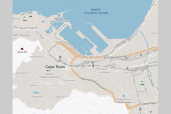
StreetPro Display is a fully attributed vector GIS dataset containing streets, administrative areas, gazetteer, transport, land use, and points of interest data. It is an attributed, interactive dataset for geographic and spatial functions, built using data from geocoding software, and can be delivered with MapInfo Routefinder Networks for desktop geocoding, backdrop mapping, attributes, and context for drivetime and routing analysis. It provides robust street-level data for mapping, analysis, routing, and geocoding.
Coverage
Australia
Canada
France
Global
Japan
New Zealand
United Kingdom
United States
Product Family
Streets
Usage
Supports business-critical decision-making processes related to:
Logistics, deliveries, and asset management
Risk analysis, fraud analysis, and emergency planning