DATA GUIDEMarket Link – Premium Locality Names and Postcodes
Market Link – Premium Locality Names and Postcodes is an enrichment and relationship file that enables you to enhance address and place data with a comprehensive set of locality names and detailed attributes that make it easier to search, aggregate, and leverage data. It also relates postcodes to administrative boundaries, and provides more complete postal rosters, enabling better handling of inputs that contain non-geographic postcodes.
Gain insight into critical relationships between addresses and places, postcodes, and administrative boundaries—without needing to source additional boundary data or perform complex, time-consuming geospatial processing.
Use cases
Market Link – Premium Locality Names and Postcodes supports a wide range of important use cases, including:
- Location-based marketing & geotagging: Engage people with the right message and offerings by associating addresses, places, and postcodes with locality names and attributes.
- Territory and asset management: More accurately assign territories and better inform logistics by associating postcodes to admin boundaries and leveraging more complete postal rosters.
- Data analysis: Accelerate analysis with an understanding of which localities are associated with addresses and places, improving your ability to search, group, and assess data.
- Customer-facing application enhancement: Improve search and display functionality by relating addresses and places with locality names and comprehensive postcodes.
Benefits
- Enrich address and place data with a wealth of locality names, feature descriptions, and classification codes that make it easier to search, aggregate, and interpret.
- Save time and resources that would otherwise be spent on complex, manual geospatial processing.
- Power key use cases that rely on relating postcodes to administrative boundaries.
- Leverage more complete postal rosters, making it easier to handle third-party inputs that include non-geographic postcodes.
Details
Market Link – Premium Locality Names and Postcodes provides:
- PreciselyID to World Boundaries Premium admin levels reference table
- Postcode to World Boundaries Premium admin levels reference table
- Postcode to World Boundaries Premium postal codes reference table
A subset of this product that does not contain postal reference tables is also available. This variant, Market Link – Premium Locality Names, provides just the PreciselyID to World Boundaries Premium ID reference table for enriching address and place data.
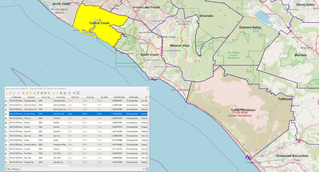
Locality names and attributes, such as classification codes, are included for all nine of the administrative boundary levels in World Boundaries Premium:
- Level 1: Country
- Level 2: State or equivalent
- Level 3: County, district, or equivalent
- Level 4: Town, municipality, or equivalent
- Level 5: Village or equivalent
- Level 6: Smaller village or equivalent
- Level 7: Metro Areas
- Level 8: Built-up Areas
- Level 9: Neighborhoods
Features
- Industry-leading currency and coverage of the admin-level data and postcodes underlying reference tables, all of which are sourced from Precisely’s premium boundary product
- Rapid data lookup and and enrichment with unique identifiers that also provide seamless connectivity to Precisely’s ecosystem of pre-linked datasets
- Provides World Boundaries Premium customers with more complete postal rosters
Specifications
Coverage: United States
Format: Pipe-delimited text files
Release Schedule: Quarterly
Unit of Sale: Country
