Precisely and Matillion Partner to Accelerate Data Modernization and Agentic AI Readiness Read Press release
BoundaryLine
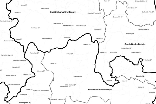
BoundaryLine contains all levels of electoral and administrative boundaries for Great Britain, including districts, wards, civil parishes, and communities, as well as European, assembly, and parliamentary constituencies. It offers a compilation of 54 datasets detailing Great Britain’s administrative and voting boundaries.
Coverage
United Kingdom
Product Family
Boundaries
Usage
With a complete view of administrative and voting boundaries across Great Britain that can be easily linked to other robust data attributes, you can:
Improve statistical, marketing, and environmental aid analysis
Power location-based customer targeting and segmentation