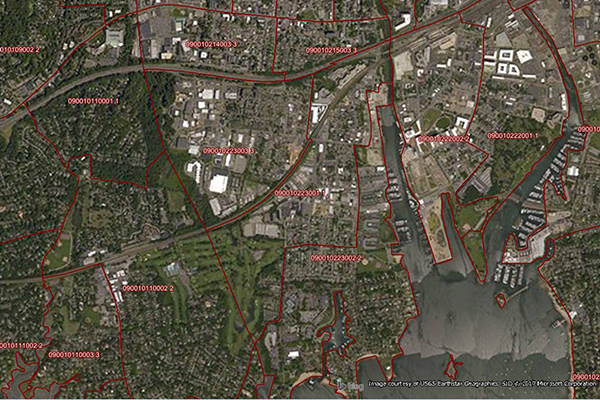
Postcode Boundaries Australia
Postcode Boundaries Australia provides a geographic representation of postcode boundaries for the entire country. Postcode boundaries are built in a nationwide parent-child hierarchy from suburb and locality boundaries, with no gaps or overlaps.
Benefits
- Permits internal business data to be easily linked and thematically mapped
- Provides the most accurate and up-to-date postcode boundary definitions available for Australia
- Easily identify the linkage between postcodes and localities
Details
- More than 2,600 unique postcodes available nationally
- Includes base demographics related to:
- Total population
- Households
- Median personal income
- Median household income
- Population density
Features
- Complete national coverage including rural and remote areas
- Linkage to localities simplifies identification of errors in addressing
- Demographic data tieid to Australian postcode boundaries
- Perfect alignment with CadastralPlus, G-NAF Premium Address Points, and Precisely geocoding for more accurate analysis and mapping
ooioioiiiooioioiioiiooioiiiooiooiiioioioiiiooioioii
Specifications
Coverage
Australia
Release schedule
Quarterly
Unit of sale
Country

