
Key Takeaways
- Ground Level Images delivers current, high-resolution commercial property imagery enabled by DoorDash Tasks that can be paired with structured metadata for faster property assessment at scale.
- On-demand commercial property photos eliminate the delays, inconsistencies, and integration challenges that have long made remote property assessment difficult to operationalize.
- By connecting commercial property imagery to structured data and unique identifiers, organizations can build AI-ready property data workflows that drive smarter, faster decisions.
In conversations with leaders in insurance, real estate, retail, telecommunications, utilities, or any industry where property decisions carry real stakes, I always hear a common frustration.
It goes something like: “We need a current photo of a commercial building – not from five years ago, not from a random street-level pass, but a recent, reliable image we can actually use in a report, a model, or a workflow. And getting it has been far harder than it should be.”
That is exactly why I’m excited about what we’re announcing today: Ground Level Images, a new data offering from Precisely, enabled by DoorDash Tasks.
It delivers current, high-resolution commercial property imagery captured in partnership with DoorDash Tasks, paired with structured metadata and unique identifiers designed not just for visual reference, but to plug directly into your analytics, operations, and AI systems.
Here’s why this matters, and why the market has been ready for something like this for some time now.
Why Is Commercial Property Imagery So Hard to Use Today?
The demand for reliable commercial property photography isn’t new.
- Underwriters need to verify building conditions before writing a policy.
- Real estate analysts need to evaluate assets across distributed portfolios.
- Retailers and potential business owners need to assess storefronts, verify site characteristics, and plan operations.
These are high-value decisions, and in every case, seeing the property is a critical input.
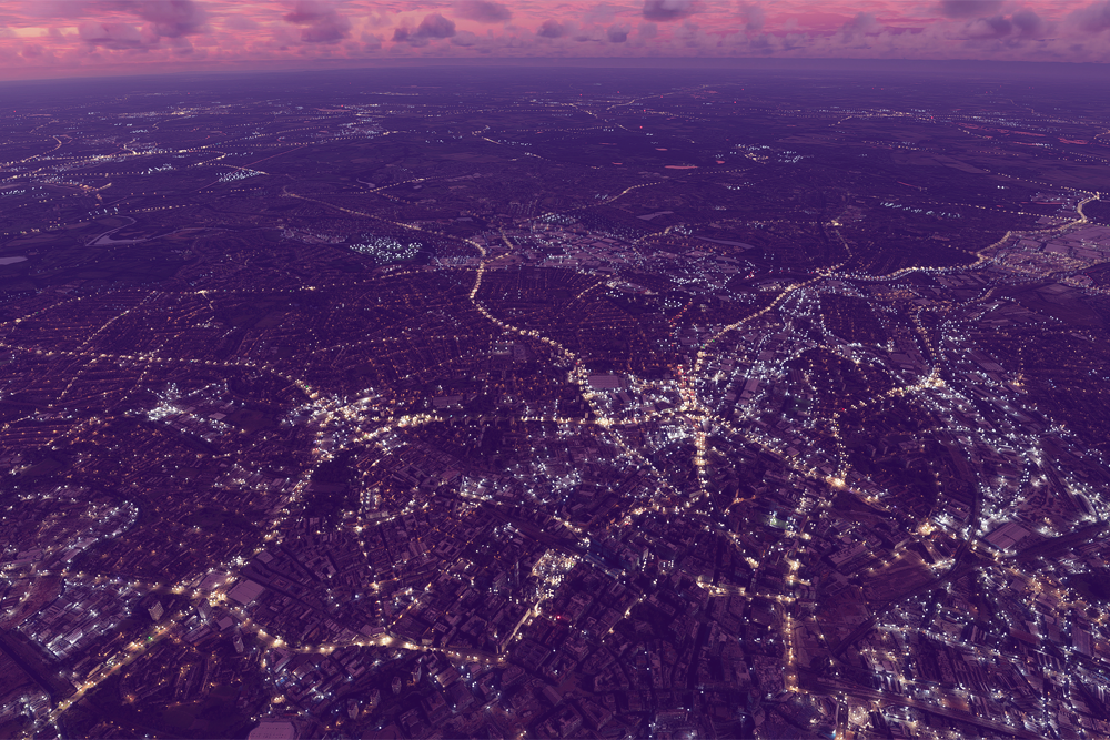
But here’s what typically happens. Organizations piece together imagery from regional vendors, schedule costly on-site visits, or rely on aerial views that were never designed to show what a building looks like from the ground.
The result is imagery that’s often outdated, inconsistent, expensive to scale, and critically, disconnected from the data systems where decisions actually get made.
Even when photos are collected, they usually exist as standalone files. No standardized metadata, unique identifiers, or easy path into the workflows that need them.
If your organization is investing in AI-driven property assessment, that disconnect is a huge bottleneck. You can’t automate what you can’t integrate.
The market pressure is real, too: the remote property inspection software market is growing at more than 12% annually, reflecting the urgency organizations feel to digitize and scale property visibility. And a 2025 study published in PLOS One found that property valuation models improve significantly when they incorporate multi-source unstructured data – including imagery – rather than just structured tabular records.
The tools haven’t kept pace with the need. That’s the problem we set out to solve.
What Ground Level Images Delivers — and Why This Matters
“We’re excited to expand our physical world data collection with Precisely. This offering gives Dashers more options to earn with Tasks, and in turn helps businesses access the important data they need to make more informed decisions.“
Ethan Beatty
General Manager, DoorDash Tasks
Ground Level Images takes a fundamentally different approach to on-demand commercial property photos. Instead of patching together fragmented regional services, we’ve built, a commercial property imagery product designed for enterprise-scale use from the start.
Here’s what that looks like in practice:

Order current, high-res commercial property images on demand
![]()

Receive images with structured metadata and unique IDs
![]()
![]()
Teams gain a consistent visual record of locations
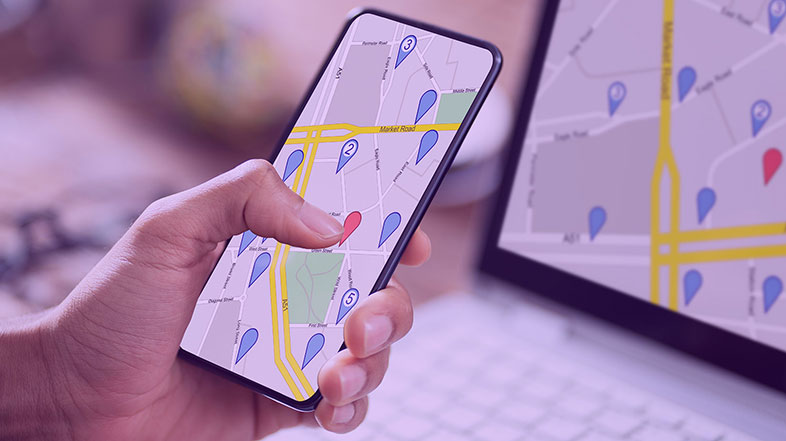
- You order current, high-resolution exterior building photos on demand for specific commercial properties.
- Those images are captured and delivered with structured metadata and unique identifiers, making them easy to search, manage, and integrate into your existing systems.
- The imagery is standardized across property types, so your teams can rely on a consistent visual record, whether you’re evaluating ten locations or ten thousand.
What makes this possible is our partnership with DoorDash, which brings together two very different strengths to help our customers reduce manual effort, align teams, and make faster, more confident decisions at scale.
The practical benefits are immediate:
- On‑demand imagery and standardized photo sets: Up‑to‑date, consistent exterior photos of commercial properties that reduce site visits, accelerate early‑stage screening, and provide teams with a shared visual record.
- Structured metadata: Semantically rich descriptions and labels so that data is easy to search, understand, and use by AI, analytics, and operational systems.
- Connected data workflows: Ability to easily combine commercial property imagery with other datasets from Precisely and its Data Link partners using unique identifiers – without heavy manual stitching.
That structured, connected approach makes it easier to automate workflows, apply AI with confidence, and move faster from insight to action on property decisions.
PRODUCTGround Level Images
Ground Level Images is a new data solution that connects datasets from Precisely to high-resolution images from DoorDash Tasks featuring commercial properties. Together, data from Precisely and DoorDash Tasks help businesses view sites remotely and align on ground-truth information to make faster, more informed decisions.
How Do You Make Commercial Property Imagery AI-Ready?
Here’s the part I find most compelling. Ground Level Images isn’t just about better photos. It also creates property data that’s ready for AI.
When imagery is structured and connected, it stops being a fragmented visual asset and starts functioning as integrated, analysis-ready data. Your AI models and automated workflows can consume property visuals the same way they process any other data input – with the structure, governance, and auditability your organization requires.
This matters because the shift toward AI-driven property assessment is accelerating. Organizations need workflows where property condition, risk, and context need to flow into automated decision-making.
Ground Level Images supplies the visual layer those workflows have been missing: current, standardized, and connected to the broader data ecosystem your business already relies on.
When AI can reason over property imagery alongside structured attributes, the decisions get sharper. Site selection becomes more informed. Underwriting becomes more confident. Portfolio monitoring becomes proactive instead of reactive. That’s the shift we’re enabling, and it starts with imagery that was designed for this purpose, not retrofitted for it.
See the Property. Trust the Data. Move Faster.
Property decisions deserve data you can see and actually use. Ground Level Images brings both together: current commercial property imagery, delivered at scale, structured for the workflows and AI systems that drive your business forward.
If you’re ready to rethink how your organization accesses and operationalizes property visuals, I’d encourage you to take a closer look. Learn more about Ground Level Images.