Precisely Expands Data Integrity Suite with New AI Agents for Enhanced Data Quality, Data Enrichment, and Location Intelligence Read Press release
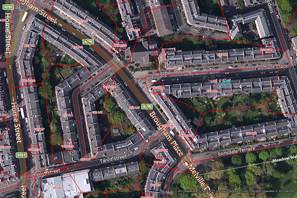
Code-Point with Polygons
Code-Point with Polygons is a vector dataset providing detailed local addressing coverage in Great Britain, including the extent of each postcode unit.
Coverage
United Kingdom
Product Family
Boundaries
Usage
Perform valuable postcode-based analyses across the UK and easily combine postcode boundaries with other contextually relevant dataset to:
Enhance customer segmentation and targeted marketing
Make more informed location planning decisions
Define and enhance sales territories
Improve resource allocation and operational logistics