Precisely Advances Agentic-Ready Data with a New AI Agent, Data Product Marketplace, and MCP-Enabled APIs Read press release
Build solutions faster with Precisely APIs, pre-linked data, and MCPStart free trial
Privacy Notice Updates: We’ve updated our Privacy Notices to reflect changes to our services, new legal requirements, and the types of personal data we collect. Learn more
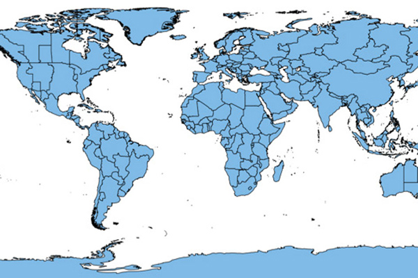
World Time Zone Boundaries provides spatial representation of the world’s lands and waters by time zone, showing each time zone’s deviation in hours from Coordinated Universal Time (UTC) and Daylight Saving Time (DST). Each time zone is divided by country (or parts of countries) and associated with the start and end dates/times of daylight saving time.
Coverage
Australia
Canada
France
Global
Japan
New Zealand
United Kingdom
United States
Product Family
Boundaries
Usage
World Time Zone Boundaries drives value for:
Analysis of emerging markets and site selection
Telecommunications and worldwide network development
Sales territory alignment
Worldwide shipping and distribution
Strategic military planning, command center operations, and homeland security initiatives
Communication control centers and video conference reporting