
EmergencyInfo Pro
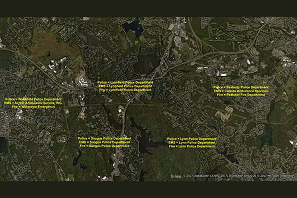
- EmergencyInfo Pro is a compilation of Public Safety Answer Point (PSAP) and Authority Having Jurisdiction (AHJ) agencies throughout the United States, providing a geographic depiction of the EmergencyInfo system. It helps users determine which 911 call center serves emergency calls at a particular location and supplies unique contact information for emergency medical service (EMS), fire, or police agencies.
Coverage
- United States
Product Family
- Boundaries
Usage
EmergencyInfo Pro is a database of police, fire, and EMS service areas in the U.S., essential for understanding public safety infrastructure as mobile phones replace landlines. It can be used to:
- Determine the serving PSAP for a given location such as an address, cell tower, market, or coverage area
- Enable network planning and provisioning
- Provide assisted emergency dialing
- Support for alarm companies to find primary contact information for EMS, fire, or police agencies
- Contact PSAP coordinators to determine provisioning and routing requirements for emergency calls
Details
EmergencyInfo Pro provides precise boundaries of all PSAP and AHJ boundaries
Detailed contact information for every PSAP:
- Ten-digit emergency numbers
- Address information
- Contact personnel
- Administrative phone numbers
- Email address
- Jurisdictional boundaries
- Additional in-depth contact information for each authority when the PSAP has requested direct contact
Features:
- Provides the most up-to-date geographic representation of the 911 landscape
- Supplies corresponding FCC registry ID where applicable
- Conforms to FCC 911 regulatory requirements
- Provides assisted emergency dialing
- Offers call center telematics
- Supports Voice over IP (VoIP)
- Includes geographic depictions of the statutory coverage area of PSAP and AHJ
- Provides primary contact information for federal, state, local and/or regional entities
- Contains secondary contact information (where available)
Specifications
- Update Frequency
- Monthly
- Coverage
- United States
- Unit of Sale
- Country, State