Precisely and Matillion Partner to Accelerate Data Modernization and Agentic AI Readiness Read Press release
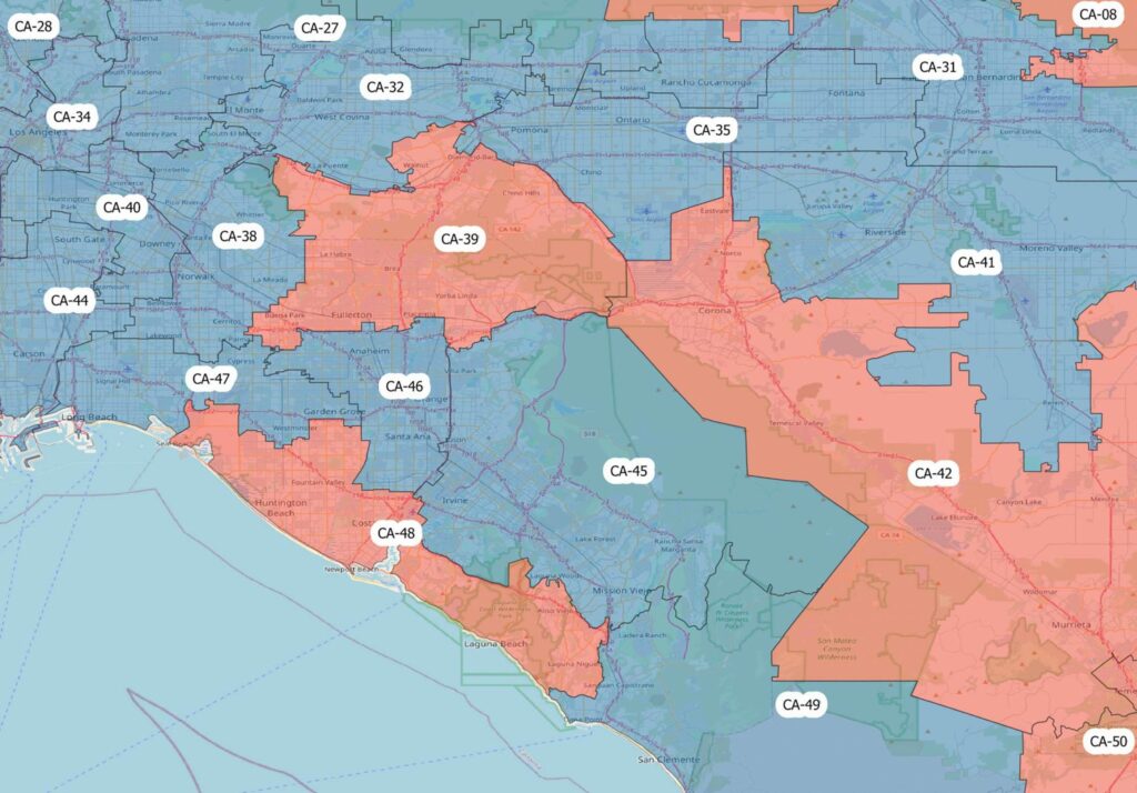
Congressional Districts
Congressional Districts depicts the physical extent and demographic profile of each district of the U.S. Congress. The dataset includes population estimates, contact information, and party affiliation for each current congressional representative at the time, along with previous congressional districts for historical comparison.
Coverage
United States
Product Family
Boundaries
Usage
Understand congressional district boundaries to make more informed decisions across a variety of use cases. With Congressional Districts, you can:
Enhance territory management
Manage regulatory compliance
Better align infrastructure, outreach, and service offerings with district-level demographic profiles