
Community and Market Link
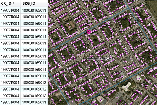
- Community and Market Link products provide a flat text file of addresses associated with boundaries, created using location intelligence software to perform point-in-polygon operations. They enable quick and simple lookups to understand relationships between addresses and boundaries, offering insights into customer activity, school districts, and township administration, and can connect with other datasets using the PreciselyID unique address identifier.
Coverage
- United States
Product Family
- Boundaries
Usage
With Community and Market Link, users don’t need to perform complex and time-consuming geospatial processing to understand the relationships between an address and the boundaries it falls within. Insights into customer activity, school districts, and township administration are available through a quick and simple lookup. You can use Community and Market Link to:
- Enhance your understanding of customer activity
- Develop more accurate real estate profiles
- See the hierarchy of boundaries for an address point
- Link boundary information to risk, property, and demographic data
- Identify new potential locations
- Perform analytics to better understand markets
Details
Community and Market Link associates U.S. addresses to boundaries and are available in the following options:
- Community Link – Colleges
- Community Link – Metros
- Community Link – Neighborhoods
- Community Link – Residential
- Community Link – Schools
- Market Link – 5 Digit Zip Codes
- Market Link – Carrier Routes
- Market Link – Census
- Market Link – Congressional Districts
- Market Link – Designated Market Areas (DMAs)®
- Market Link – Time Zones
- Master Link (includes all above boundaries)
DMA® is a registered service mark of the Nielsen company. Used under License.
Specifications
- Update Frequency
- Quarterly
- Coverage
- United States
- Unit of Sale
- Country