Colleges
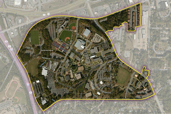
Colleges provides a series of polygonal boundaries around two-year and four-year colleges and universities in the United States with an enrollment greater than 200. The boundaries reflect both main and satellite campuses.
Buildings or other properties associated with a college or university are included within a boundary if they are adjacent to or nearby the campus. Isolated or sparse buildings that are separate from a main or satellite campus are generally not included as they do not typically represent areas where students live or gather.
In cases where separate facilities draw concentrations of students, an additional polygon record is created. Some colleges comprise more than one polygon to represent multiple or geographically dispersed campuses.
Benefits
- Target students where they are, on their terms, through geo-advertising and mobile messaging
- Provide first responders with immediate access to the campus information needed to respond quickly and effectively to human and natural disasters
Details
- Provides polygons for nearly 4,300 colleges and universities across the United States
Features
- Includes attributes such as alternate names, satellite campus names, and address and contact information
- Provides a variety of alternate IDs:
- IPEDS: identification number for U.S. colleges and universities as defined by the National Center for Education Statistics (NCES)
- OPE: Department of Education Office of Postsecondary Education ID number that is used to identify schools eligible for federal student financial assistance
- Quarterly updates detail where changes and coverage expansion have occurred, with a change table detailing adds/deletes/changes from last release
ooioioiiiooioioiioiiooioiiiooiooiiioioioiiiooioioii
Specifications
Coverage
United States
Release schedule
Quarterly
Unit of sale
Country