
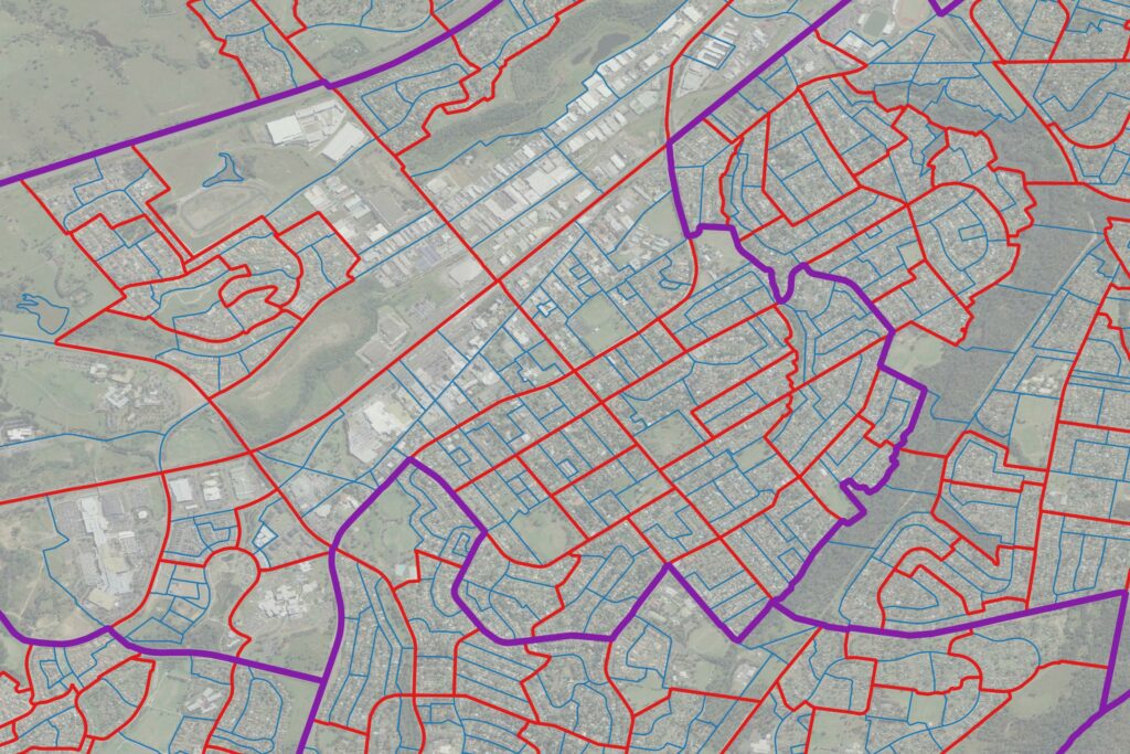
ABS Boundary Pack
- The ABS Boundary Pack provides a complete set of Australian geographic boundaries applicable to the Census of Population and Housing as well as other data from the Australian Bureau of Statistics.
Coverage
- Australia
Product Family
- Boundaries
Usage
The ABS Boundary Pack enables streamlined mapping of all data provided by the Australian Bureau of Statistics. This saves significant time, effort, and resources that would otherwise be spent downloading, onboarding, and stitching together these state-based boundaries. With comprehensive, connected boundaries that are refreshed and maintained regularly and can be easily linked to Precisely’s data ecosystem, you can rapidly:
- Make more informed location planning and investment decisions
- Enhance segmentation and power location-based marketing
- Optimize infrastructure and asset management across states
Details
Australian Statistical Geography Standard (ASGS)
Volume 1: Main structure
State and Territory (STE)
Greater Capital City Statistical Area (GCCSA)
Statistical Area Level 4 (SA4)
Statistical Area Level 3 (SA3)
Statistical Area Level 2 (SA2)
Statistical Area Level 1 (SA1)
Mesh Block (MB)
Volume 2: Indigenous structure
Indigenous Region (IREG)
Indigenous Area (IARE)
Indigenous Location (ILOC)
Volume 3: Non-ABS structures
Australian Drainage Division (ADD)
Commonwealth Electoral Division (CED)
Local Government Area (LGA)
Natural Resource Management Region (NRMR)
Postal Area (POA)
State Electoral Division (SED)
State Suburb (SSC)
Tourism Region (TR)
Volume 4: SUA, UCL, SOS
Section of State (SOS)
Section of State Range (SOSR)
Urban Center and Locality (UCL)
Significant Urban Area (SUA)
Volume 5: Remoteness structure
Remoteness Area (RA)
Australian Statistical Geography Classification (ASGC)
Statistical Local Area (SLA)
Specifications
- Update Frequency
- Annually
- Coverage
- Australia
- Unit of Sale
- Country