
Data can only reach its full potential when it’s connected.
In isolation, even the most relevant dataset gives you only part of the full picture you need to make critical decisions. But when you link that data together, it reveals relationships, expands perspective, and unlocks the context you need to answer key questions.
There’s no shortage of real-world challenges that connected data can help solve, but I’d like to explore its potential by answering a whimsical question that many of us – particularly fans of The Simpsons – have asked before:
Which Springfield is THE Springfield – the home of one of our favorite TV families?
“Oh, people can come up with statistics to prove anything, Kent. Forty percent of all people know that.” – Homer Simpson
For decades, fans of The Simpsons have speculated about the real-life location of Springfield. The show’s creators intentionally chose the name because it’s one of the most common city names in the United States, allowing viewers from anywhere to imagine the Simpsons living next door.
But what if we could go beyond speculation and actually identify the most “average” Springfield in America – the one whose demographics most closely resemble the national profile?
Using a combination of Precisely’s demographic, boundary, and point of interest data, we compared multiple Springfield locations across the U.S. to national averages. The answer is clear:
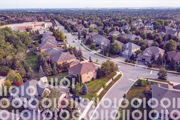
West Springfield, Massachusetts.
The Most Average Springfield in America
West Springfield, MA stands out as the Springfield whose demographic profile most closely mirrors that of the United States. At a glance:
- Its median age is 41.5 years, just slightly above the national median.
- Educational attainment is also well-aligned with national averages: approximately 28% of residents have completed high school, 21.8% hold a bachelor’s degree, and 10.3% have earned a master’s degree
- Income distribution reflects a middle-class profile. About 10.5% of households earn between $75,000 and $99,999, and 8.4% fall into the $100,000 to $124,999 bracket. These figures are consistent with national patterns, and a median household income of $71,758 places West Springfield squarely in the middle-income range.
- Employment sectors also show a familiar mix. Retail trade accounts for 10.5% of jobs, and manufacturing makes up 11.5% – figures nearly identical to national employment distributions. This balance of service and industrial work reflects the broader American economy.
And then there’s the doughnut factor. While many Springfield locations in the dataset report zero doughnut stores and a flat doughnut index (the number of doughnut stores per 100,000 people), West Springfield breaks the mold with four doughnut shops and a doughnut index of 14.1.
Is this a sign of a thriving local economy, or just a community that knows how to treat itself?
“Doughnuts. Is there anything they can’t do?” – Homer Simpson
Connecting the Dots with Data
It wouldn’t have been enough to look at demographics alone. To identify the most average Springfield in America, we needed to understand the composition of businesses, community boundaries, and other contextual details.
That’s the power of connected data. It allows you to confidently and quickly answer complex questions like this one.
While finding the most average Springfield may not be a business priority, deciding where to open your next retail chain location or place infrastructure is. Both are examples of real-world challenges that can only be solved by linking data together to gain essential context.
Across industries, connected data supports analysis and common use cases:
- Retail and real estate: Choosing the best location for a new store, branch, or property by layering demographics, transportation details, property insights, and competitive presence.
- Marketing and advertising: Tailoring campaigns to resonate with specific audiences in specific geographies using demographics, boundaries, address, and business data.
- Financial services and insurance: Understanding population trends, risk profiles, and community attributes to better serve customers and manage exposure.
- Telecommunications and utilities: Planning infrastructure investments by aligning service coverage with population density, business demand, and property details.
- Logistics and transportation: Optimizing delivery routes and warehouse locations based on consumer clusters, road networks, and business proximity.
Just as connected data revealed the most average Springfield in America, it helps organizations like yours find the right answers to the questions that matter most.
Simplify Enrichment and Connectivity with Connected Data
Traditionally, the process of linking multiple datasets together is time-consuming and requires significant manual effort. But pre-linking datasets together with unique identifiers solves this problem, resolving reconciliation and validation issues upfront so that you can spend more time using data, rather than wrangling and joining it.
At Precisely, we’ve created a connected data ecosystem by pre-linking all of our enrichment datasets with unique IDs. And to make the experience of accessing and using connected data even more seamless, our entire data ecosystem can be easily connected to your first-party data via the PreciselyID – a unique ID we append to addresses via our Geo Addressing solutions.
As a result, you’re able to quickly and easily enrich your data to gain actionable, accurate insights.
Recently, we’ve taken this connected data ecosystem to the next level with Data Link, a partner program that connects datasets from market-leading providers like Precisely, Dun & Bradstreet, Overture Maps Foundation, and more. By expanding access to pre-linked data, Data Link simplifies the historically complex processes of acquiring, integrating, and using data. This opens new opportunities for even deeper insights.
Read our eBook Connecting the Dots: Linking High-Quality Addresses to Enrichment Data and learn more about how you can use pre-linked data to cut through common integration complexities and answer key questions. And while you’re at it, treat yourself to a doughnut – it’s what Homer Simpson would want.
Precisely data products used in this analysis: GroundView Demographics, World Boundaries Premium, and Precisely Places.