
World Time Zone Boundaries
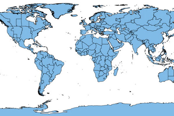
World Time Zone Boundaries provides spatial representation of the world’s lands and waters by time zone, showing each time zone’s deviation in hours from Coordinated Universal Time (UTC) and Daylight Saving Time (DST). Each time zone is divided by country (or parts of countries) and associated with the start and end dates/times of daylight saving time.
School Boundaries
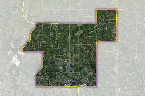
School Boundaries provides three layers of geographic information, including school points, school districts, and school attendance zones, for more than 10,000 school districts in the United States. Additional attribute tables accommodate the complexities and variations of school data from state to state and region to region for further analysis.
Desktop and Enterprise Routing Networks
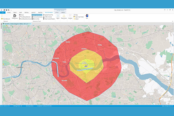
Desktop and Enterprise Routing Networks provide compiled street networks for use with mapping and routing software, compatible with Precisely’s MapInfo Pro and Spectrum software, powering analytics at both desktop and enterprise levels.
Residential Boundaries
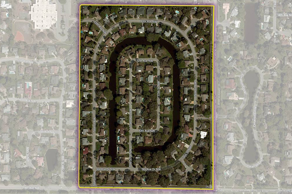
Residential Boundaries provides geographic boundaries, names, and other locational classifications that define the extent and character of residential neighborhoods. Each polygon covers geography that consists of at least 90% residential housing, including homes, condos, and apartment complexes. The acquisition system ensures the most current information is used to define and name a residential area.
RateCenterInfo
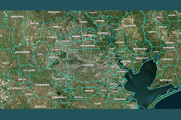
RateCenterInfo provides geographic information about rate centers throughout the United States and Canada, including boundaries and specific information about NPAs and NXXs operating within each rate center. It is used by competitive local exchange carriers (CLECs), cable telephony operators, internet service providers (ISPs), and wireless carriers for determining areas of operation and number assignments.
Property Fire Risk
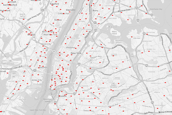
Property Fire Risk is a compilation of fire departments and fire stations across the United States featuring proximity measurements and drive times from each physical address. It provides detailed information for over 47,000 fire departments and stations, including location, contact details, county name, type of department, number of associated stations, station number, and daypart specific drive time and distance for the three nearest responding stations within 25 miles.
World Postcode and Administrative Boundaries
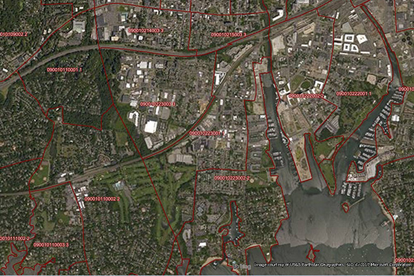
World Postcode and Administrative Boundaries provides comprehensive coverage of global administrative and postcode boundaries, offering six administrative levels for analysis specific to each country, such as township or city boundaries. It includes administrative hierarchy and alternate postal names for the U.S. and Australia, aggregating worldwide postal and administrative boundaries into a single product with a consistent, single table structure format for ease of use.
Parcel Boundaries
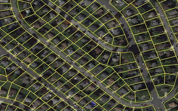
Parcel boundary data helps users map and analyze property characteristics across an area of interest, or conduct sophisticated spatial analysis such as proximity, overlay, and buffer zone operations. It contains polygonal property outlines and features like PreciselyID and Assessor Parcel Numbers for interoperability with property attributes, building footprints, U.S. Census Bureau data, and address genealogy. It is part of the property data enrichment products that work with Property Graph and is available via Data Graph API.
Neighborhood Boundaries
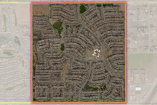
Neighborhood Boundaries identifies and names neighborhoods as experienced by local residents, providing data on population, demographics, culture, and other attributes, along with a hierarchy of precisely validated names and boundaries.
Metro Areas
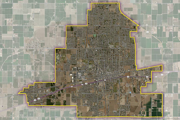
Metro Areas represents over 1,000 major metropolitan areas around the world, including top real estate markets. These areas incorporate satellite cities, towns, and rural areas that are socioeconomically linked to an urban core, typically with a population greater than 50,000 and a density of at least 1,000 people per square mile.
LATAInfo
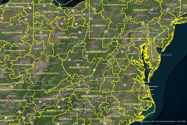
LATAInfo is a map database of Local Access Transport Areas (LATAs) across the United States, used to determine whether a telephone call is carried by a local exchange carrier or a long-distance provider. Each LATA generally contains a single major metropolitan area, with calls within a LATA routed by Local Exchange Carriers (LECs) and calls between different LATAs transported by long-distance carriers.
Property Attributes
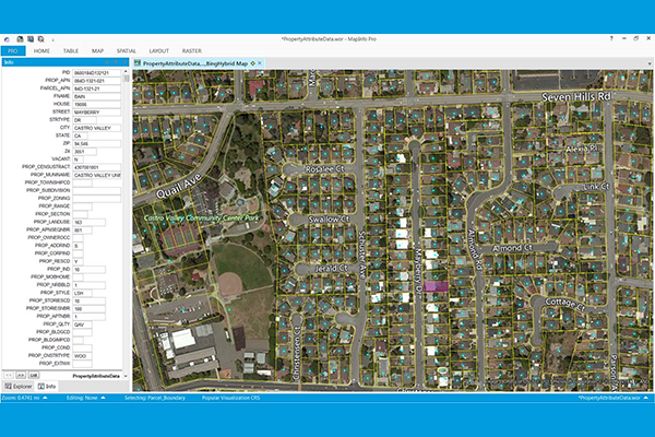
Property Attributes products provide deep insights about a location, offering comprehensive information about property characteristics using data from local tax authorities, Recorder of Deeds, mortgage transactions, and real estate listing services. Coverage includes over 3,140 US counties, with details such as owner and address information, physical property and location data, seller and buyer information (select products), legal description, property site characteristics, internal and external building characteristics, property tax and sale information, mortgage information (select products), and replacement cost value.