
GfK Cresta Zones
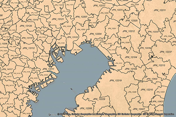
Catastrophic Risk Evaluating and Standardizing Target Accumulations (CRESTA) Zones are critical for reinsurance companies when negotiating and conducting an extensive portfolio analysis. These global CRESTA boundaries are widely accepted as standard throughout the insurance industry.
Flood Risk
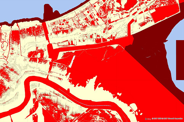
Flood Risk provides the most current flood mapping data from the Federal Emergency Management Agency (FEMA), including flood zone information, a database of community participation status in the National Flood Insurance Program (NFIP), elevation profiles, and proximity measurements to varying levels of flood risk.
Earth Risk
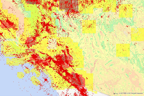
Earth Risk provides nationwide coverage of land-related risks including earthquakes, landslides, lava flows, sinkholes, and hazardous soils to help stakeholders understand risk by geography. Data layers are sourced from USGS, NEIC, Earthquake Hazards Program, and AMLIS.
Coastal Risk
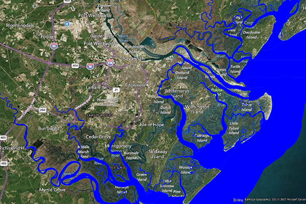
Coastal Risk contains information pertinent to shorelines and coastal areas subject to hurricanes, storm surge, flooding, and other natural disasters. It depicts the shape of the shoreline, name of the coastal water, and proximity to the nearest coastline.
Designated Market Areas (DMA®)
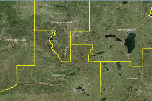
Designated Market Area (DMA®) definitions are licensed from Nielsen and delineate the geographic boundaries of over 200 distinctive regions to assess TV penetration of audience counts within the U.S. for a viewership year. DMA® is a registered service mark of the Nielsen company. Used under License. The DMA® code is created using Nielsen’s assignment of a 3-digit number for identification and processing purposes.
Core Based Statistical Areas (CBSA)
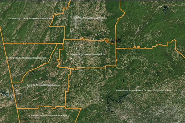
Core Based Statistical Areas (CBSAs) provides the geographic boundaries and point information for more than 900 statistical regions defined by the U.S. Office of Management and Budget, representing highly populated core areas and adjacent communities with high economic and social integration.
Congressional Districts
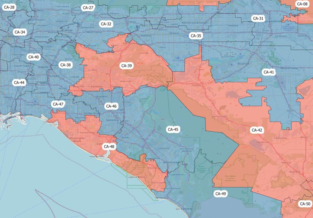
Congressional Districts depicts the physical extent and demographic profile of each district of the U.S. Congress. The dataset includes population estimates, contact information, and party affiliation for each current congressional representative at the time, along with previous congressional districts for historical comparison.
Community and Market Link
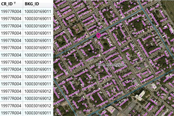
Community and Market Link products provide a flat text file of addresses associated with boundaries, created using location intelligence software to perform point-in-polygon operations. They enable quick and simple lookups to understand relationships between addresses and boundaries, offering insights into customer activity, school districts, and township administration, and can connect with other datasets using the PreciselyID unique address identifier.
ZIP Codes and Carrier Routes
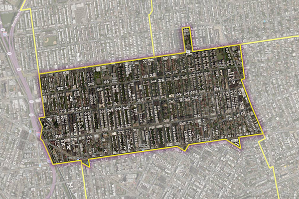
The content describes multiple datasets related to USPS ZIP Codes, including Carrier Routes, ZIP Plus 4s, and ZIP Code Boundaries and Centroids. ZIP Plus 4s identify over 60 million deliverable USPS ZIP Plus 4s and correlate with U.S. census block data. ZIP Code Boundaries provide spatial demarcations and include centroids, while Carrier Routes represent areas served by USPS mail carriers, following roads for accuracy.
World Points of Interest – Premium – Consumer
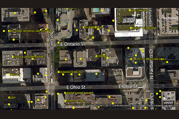
The World Points of Interest Premium Consumer dataset provides location and detailed company information for consumer-focused retail and service businesses, leisure, landmarks, and geographic features in more than 175 countries and territories. It includes a unique identifier, PreciselyID, for each addressable POI to streamline data management and enrichment.
US Municipal Boundaries
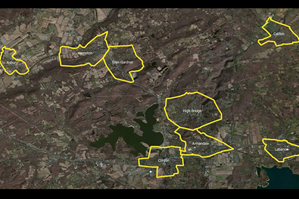
US Municipal Boundaries contains up-to-date information on the boundaries of incorporated municipalities, updated quarterly to include new incorporations, annexations, de-annexations, mergers, consolidations, dis-incorporations, and/or dissolution of local governmental entities.
Census Boundary Bundle – US
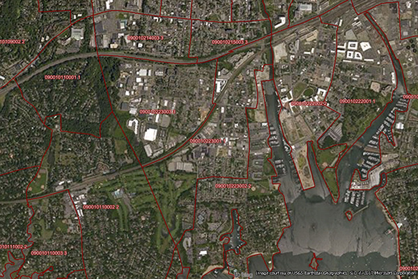
Census Boundary Bundle – US provides a visual backdrop for demographic and other business analysis in the United States. It can be purchased as a complete bundle that includes all seven layers, or as individual layer datasets.