
Context School Rankings
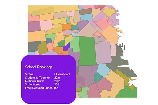
Context School Rankings provides state-wide school performance rankings, math and reading test scores, historical rankings, and school profiles for a specific geographic area. It offers a comprehensive view of public schools throughout the U.S. with over 80 combined attributes, designed to work seamlessly with public school points and school attendance zones data.
Context Commuter Score
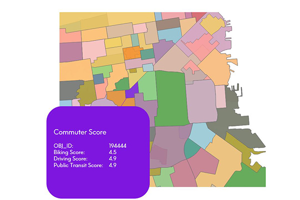
Context Commuter Score provides transportation data which allows users to rate the navigability of an underlying geography. Scores range from 0.0-5.0, with a higher score indicating more commuter opportunities. Biking, driving, and public transit data are all provided and scored.
Global Demographics
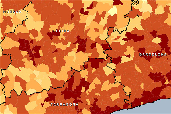
Global Demographics provides comprehensive coverage of global demographics such as population, age, sex, race, and disposable income as they relate to local administrative and/or postal geographies, extending to 140 countries globally, offering information on 6.7 billion consumers.
StreetPro Traffic
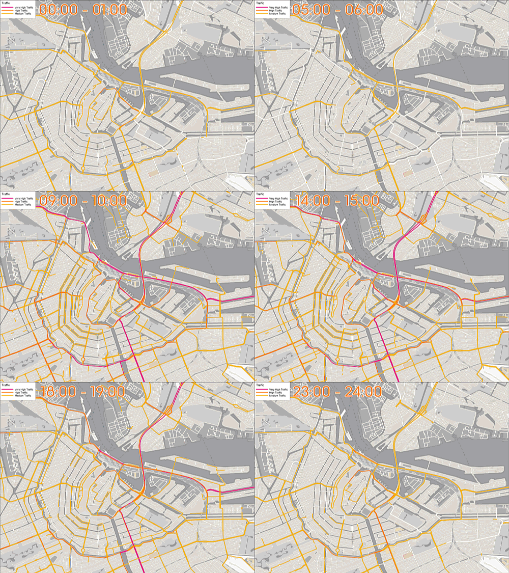
StreetPro Traffic provides information about relative traffic volumes on the StreetPro network, using anonymous feeds from billions of positioning devices within vehicles to offer speed, time, and direction of travel information. It provides aggregate counts of probe devices on road segments, aggregated as annual averages per direction of travel by day of week and hour of day, including additional aggregations for total average weekly, weekday, and weekend probe counts by hour of the day.
Context Weather
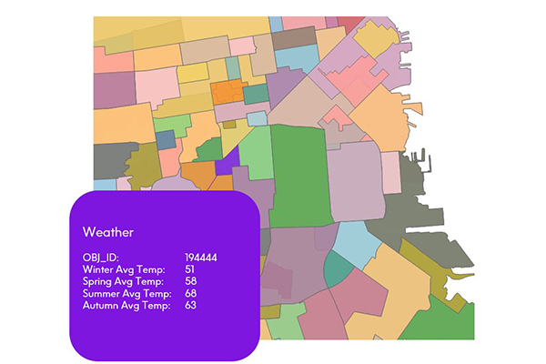
Context Weather provides a series of climate scores derived from measuring and modeling climate data over time and across stratified geographies, including average high and low temperatures, precipitation, snowfall, sunny and cloudy days, wind chill, and heat index by month.
Context Real Estate
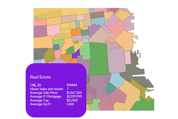
Context Real Estate consists of two datasets: Context Real Estate Sales, providing quarterly analytics of sales trends, average sales price, mortgage metrics, and other sales metrics derived from public records; and Context Real Estate Inventory, offering a snapshot of neighborhood properties including median tax rate, average year built, property types, and occupancy, also derived from public records.
CrimeIndex & Context CrimeIndex
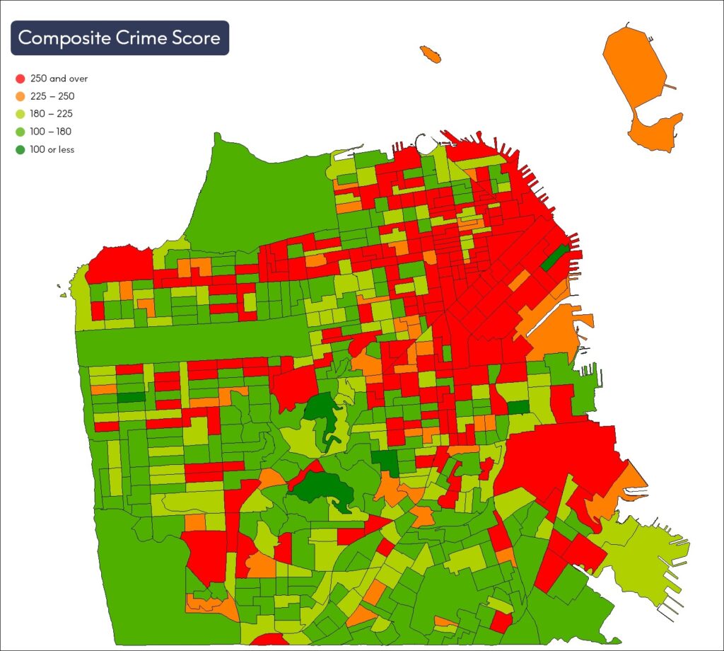
CrimeIndex measures the likelihood of where crime may occur and provides crime risk scores at the granular block group level. Context Crime Index combines Crime Index and Neighborhood Boundaries to provide a comprehensive view of crime data for a neighborhood or local region.
ExchangeInfo Plus
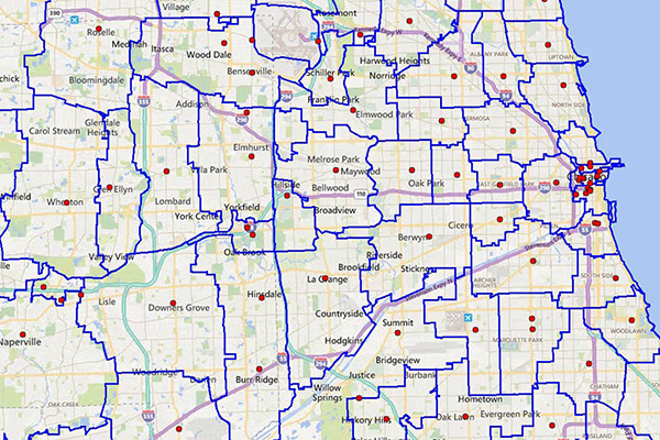
ExchangeInfo Plus is an essential tool for visualizing and analyzing the telecommunications landscape and associated infrastructure data to support better business decisions. It is a comprehensive database containing key telecommunications infrastructure data for every wire center in the U.S. and Canada, describing the organization of the local telephone exchange system.
EmergencyInfo Pro
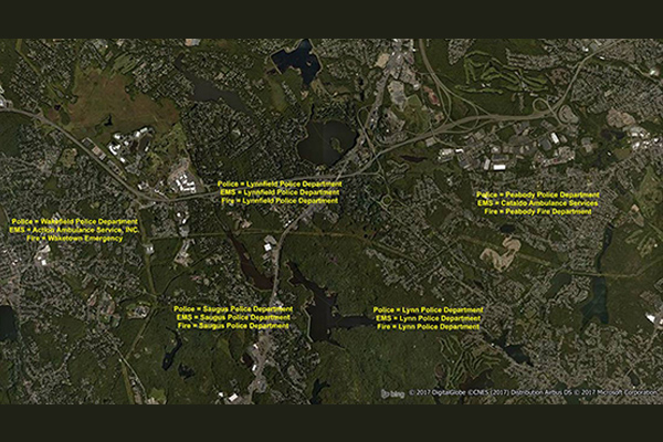
EmergencyInfo Pro is a compilation of Public Safety Answer Point (PSAP) and Authority Having Jurisdiction (AHJ) agencies throughout the United States, providing a geographic depiction of the EmergencyInfo system. It helps users determine which 911 call center serves emergency calls at a particular location and supplies unique contact information for emergency medical service (EMS), fire, or police agencies.
CallingAreaInfo
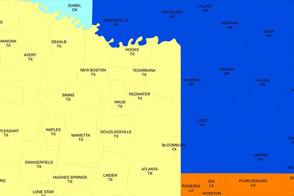
CallingAreaInfo represents the local calling plans available to business and residential customers when calling from or into a given location. It includes details on number plan areas (NPAs), the first three digits of the phone number after the area code (NXXs), and associated rates. It offers advanced data and geographic visualization capabilities to identify, analyze, and understand local calling plans and rate structures for specific geographic regions.
AreaCodeInfo
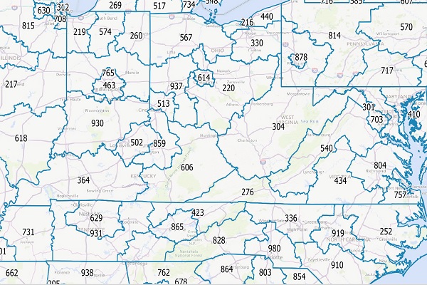
AreaCodeInfo represents delineated boundaries for landline telecommunications across the U.S. and Canada, covering 353 area codes with regular updates for accuracy.
Historical Weather Risk
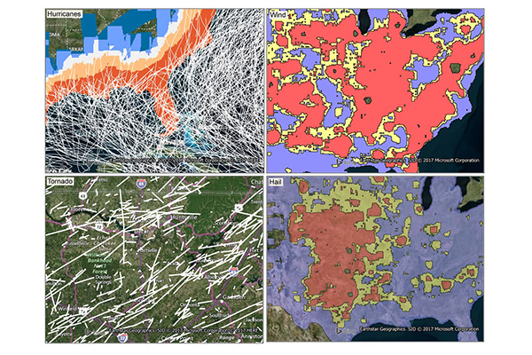
Historical Weather Risk contains comprehensive historical records of hazardous weather data including hurricane, hail, tornado, and windstorm events, with details on date, severity, and additional attribution like magnitudes, fatalities, injuries, crop/property damages, and meteorological details. Wind events use the Beaufort Wind scale, tornadoes use the Fujita-Pearson scale, hail events use the TORRO intensity scale, and hurricane events reference the Saffir-Simpson scale.